 Hiking
 Login
Login
 More
More
 EN
EN
 Premium
Berlé: Three Brooks Walk
automatic translation
13.9 km • Winseler
1740 0 0/5

 Addresse starting point (approximate)
Duerfstrooss 28, 9636 Winseler, LU
 signage
The route is fully signposted with thematic signs (no nodes).
 Description
Parking is available at the church of Berlé.
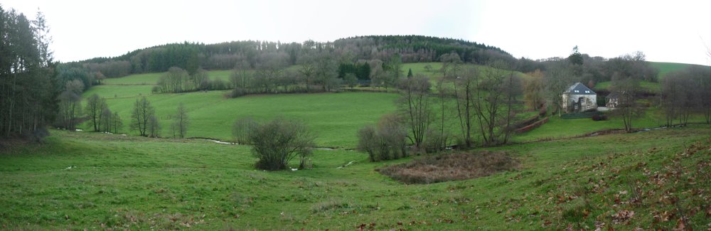
We departed counterclockwise, which led us to descend into the valley of the Donkelserbaach. The descent drops quite quickly from 490 m to 410 m over a distance of 1.1 km. Meanwhile, one can fully enjoy the beautiful nature.
Following the stream along a wide semi-paved path without too much elevation change, one continues until the Donkelserbaach becomes the Sollerbaach. The nature is beautiful, but the streams themselves are not very visible.
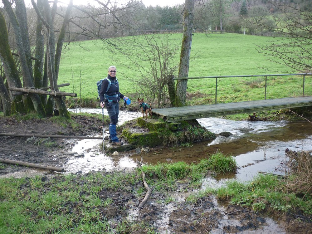
At the Sollermillen, one crosses the Sollerbaach over a small bridge in a meadow. Waterproof footwear is not a luxury there!
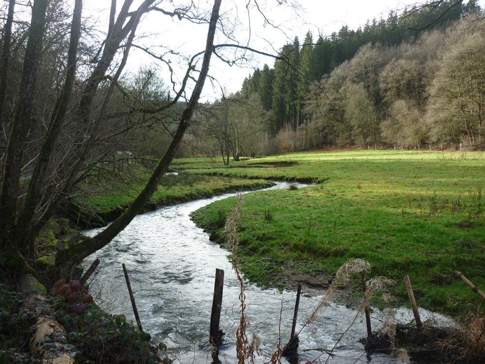
The highlight of this walk is reaching the valley of the Béiwenerbaach. Wow! If you walk counterclockwise, as we did, you first come to the spring and see the stream swell into a real ditch. Beautiful, beautiful, beautiful! A magnificent valley with an easily passable wide semi-paved path.
More photos: https://photos.app.goo.gl/6rSCUUaWQLB9kMJs8
E, R, P
automatic translation


 Upgrade to Premium Plus
