 Hiking
 Login
Login More
More EN
EN Premium
Mighty Mazel Walk
automatic translation
5.5 km • Opwijk
 official route
1.5121 7 4/5
route offered by
 Addresse starting point (approximate)
Sint-Pieters-Bandenkerk, Dorp, 1745 Mazenzele
 signage
The route is fully signposted with nodes.
 Description
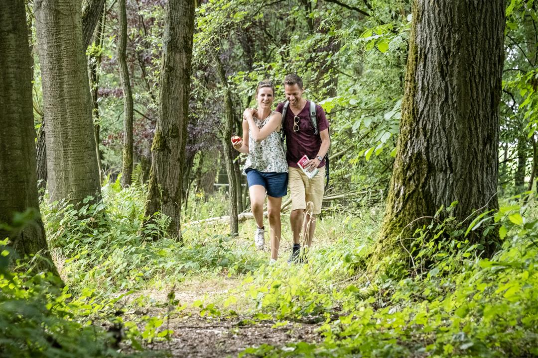
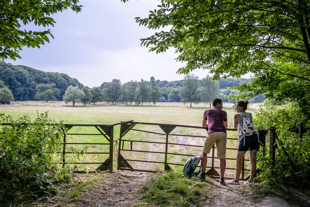
The Mighty Mazenzele Walk shows the highlights and surprising spots of the village of Mazenzele. Starting at the school De Knipoog, the walk takes you to the Dries, a place that was once important as a gathering place for cattle and a meeting place. Then you walk to the nature reserve the Kravaal fields and the Kravaal forest.
This walk is offered by the Regional Landscape Brabantse Kouters in cooperation with the municipality.
automatic translation
 nodes to follow
0 km
0.3 km
0.9 km
1.8 km
2.1 km
3 km
3.3 km
3.5 km
4.4 km
5.3 km
5.5 km
Sunday, April 4, 2021 by GILBERTE DE BLOCKDid the walk yesterday, and enjoyed it. In the woods, there was a pole down on an iron gate with horseshoes on it, though. We had done the hike last year though.
automatic translation
Thursday, November 5, 2020 by I.C.follow-up: I suppose this is a better hike in summer. That dead pine forest -which we ended up in because we missed plate 70, and thus kept walking the wrong way- is just creepy dirty (and littered with cans and plastic). road next to first forest is quasi impassable, but will be better in dry season. I. Ceuppens
automatic translation
Thursday, November 5, 2020 by I.C.Yesterday "the Mighty Mazel hike." Beautiful region, hike was inconvenient because of huge puddles on field roads (giant tracks of tractor wheels) and because we had to dab through a greasy potato field. Road had disappeared, plowed along? From nr 27 the route is unclear, plate referring to 70 is not correct, from there problems.
automatic translation
Friday, June 19, 2020 by rony deroofantastic walk in a quiet and certainly a beautiful region but we took the nodes 26 and 49 and then you are in the middle of the kravaal forest and that is definitely worth , that is the other hikers to recommend
automatic translation
Monday, June 1, 2020 by GILBERTE DE BLOCKDid the hike today. Super nice walk with beautiful views and in the middle of nature. We did leave at the church and not at the school as mentioned. We also did not encounter the pond in the forest. We will definitely do it again.
automatic translation
Tuesday, May 5, 2020 by Elke HeyvaertVery nice hike. too bad there is so little walking IN the woods though.
automatic translation
Sunday, October 27, 2019 by L.W.Super location for a hike. Were on the last bit wrong though.
automatic translation


 Upgrade to Premium Plus
