 Hiking
 Login
Login More
More EN
EN Premium
Laerman Walk
automatic translation
10.4 km • Wemmel
 official route
route offered by
 Addresse starting point (approximate)
Gemeentehuis, Dr. H. Folletlaan 28, 1780 Wemmel
 signage
The route is fully signposted with nodes.

 Description
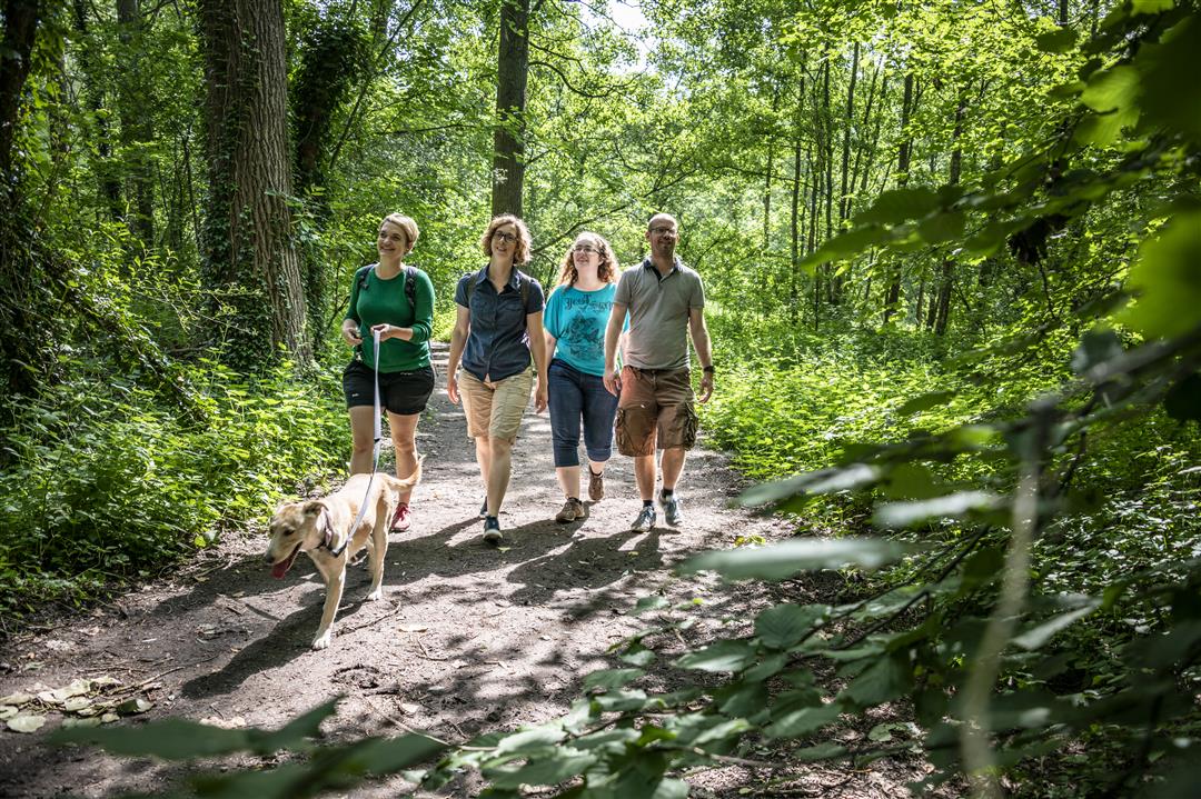
This route owes its name to the Brussels painter Eugène Laermans. The tour starts at the town hall of Wemmel, a castle dating back to the 17th century. Along the way you explore the most beautiful spots of the municipality. You walk past the Amelgem mill, numerous farms and chapels and the beaver forest nature reserve.
This walk is offered by Tourism Flemish Brabant.
automatic translation
 nodes to follow
0 km
0 km
0.4 km
2.5 km
2.6 km
3 km
3.4 km
3.8 km
4.9 km
5.7 km
6.7 km
7.9 km
8.2 km
9.1 km
9.9 km
10.3 km
10.4 km
Monday, December 14, 2020 by Michel VMNice walk through residential areas with beautiful villas, fields and forest around Wemmel and Meise. Hiking trails were perfectly marked.
automatic translation
Sunday, May 24, 2020 by L.B.Fascinating walk, if you like the combination of lots of money and bad taste: the walk takes you past endless residential areas with spiteful villas, high hedges and the occasional Ferrari in the driveway. In the more than an hour we had to pass through this, we were passed three times! we were passed by a police patrol: these villas are very well guarded. For those who don't like this folly, it's largely a very boring walk, not counting a few shorter sections (Beaver Woods, the part high along the ring road).
automatic translation


 Upgrade to Premium Plus
