
 Hiking
 Login
Login
 More
More
 EN
EN
 Premium
Releghemwandeling
9.1 km • Zemst
 official route
3.1782 3 3.8/5
route offered by

 Addresse starting point (approximate)
Sint-Pieterskerk, Kerkstraat, 1980 Zemst
 signage
The route is signposted with thematic signs (no nodes). You can use a GPS device or our app to follow the route through the virtual nodes.
 Description
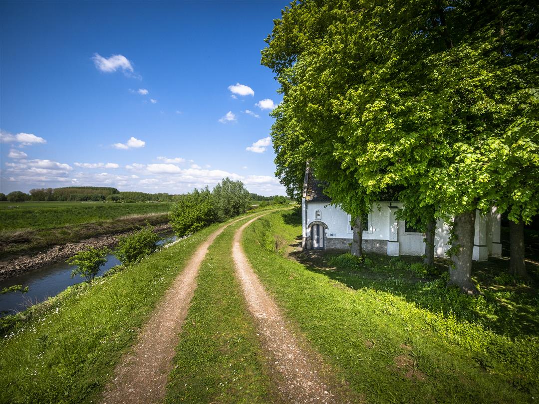
Follow the banks of the Zenne to the De Donk nature area, a birdwatcher’s paradise near Releghem Castle. This castle is by far the most beautiful building along your route. The current building dates from the 18th century, but a castle already stood on this site in the 14th century. Walk through Dasmusveld and along Haneweg to the spot where a windmill once stood and enjoy the view.
Before you set out: This is a walk on a virtual walking network. The junctions are not marked on the ground. Follow the hexagonal red-and-white signs bearing the name of the walk.
automatic translation
 nodes to follow
0 km
0.5 km
1.2 km
2.4 km
3 km
3.1 km
3.5 km
3.5 km
3.8 km
4.5 km
5.7 km
6.6 km
6.6 km
8 km
8.1 km
9.1 km
Monday, April 18, 2022 by Yasmin VdCFew problems with the hike in itself. Mostly asphalt/paved. Signage is not always clear, but with a little searching you will get there. WARNING: NOT recommended for people with fearful and/or reactive dogs: Many barking, jumping and sometimes even loose dogs along the way (not from other hikers but from neighbors)!
automatic translation
Saturday, February 20, 2021 by Walter MombaertsVery nice and beautiful hike. Be careful though if you take the dog with you and have a roll out leash. In nice weather you encounter a lot of cyclists and they do not always have a bell 🙄 which is sometimes annoying. Is also clearly marked with the familiar hex signs.
automatic translation
Sunday, June 9, 2019 by R.V.I am 11 years old and did this hike with my mom.
We enjoyed the varied landscape, and the animals we met along the way. We hiked a stretch by the water between fields and past beautiful woods and gardens.
The distance was perfectly manageable!
And as a nice ending, there were delicious fries that we ate in the church-garden of Zemst!
automatic translation



 Upgrade to Premium Plus


