
 Hiking
 Login
Login
 More
More
 EN
EN
 Premium
Landelijk Eppegemwandeling
8.3 km • Zemst
 official route
2.0005 5 3.5/5
route offered by

 Addresse starting point (approximate)
Sint-Clemenskerk, Zenneweg 5, 1980 Eppegem (Zemst)
 signage
The route is signposted with thematic signs (no nodes). You can use a GPS device or our app to follow the route through the virtual nodes.
 Description
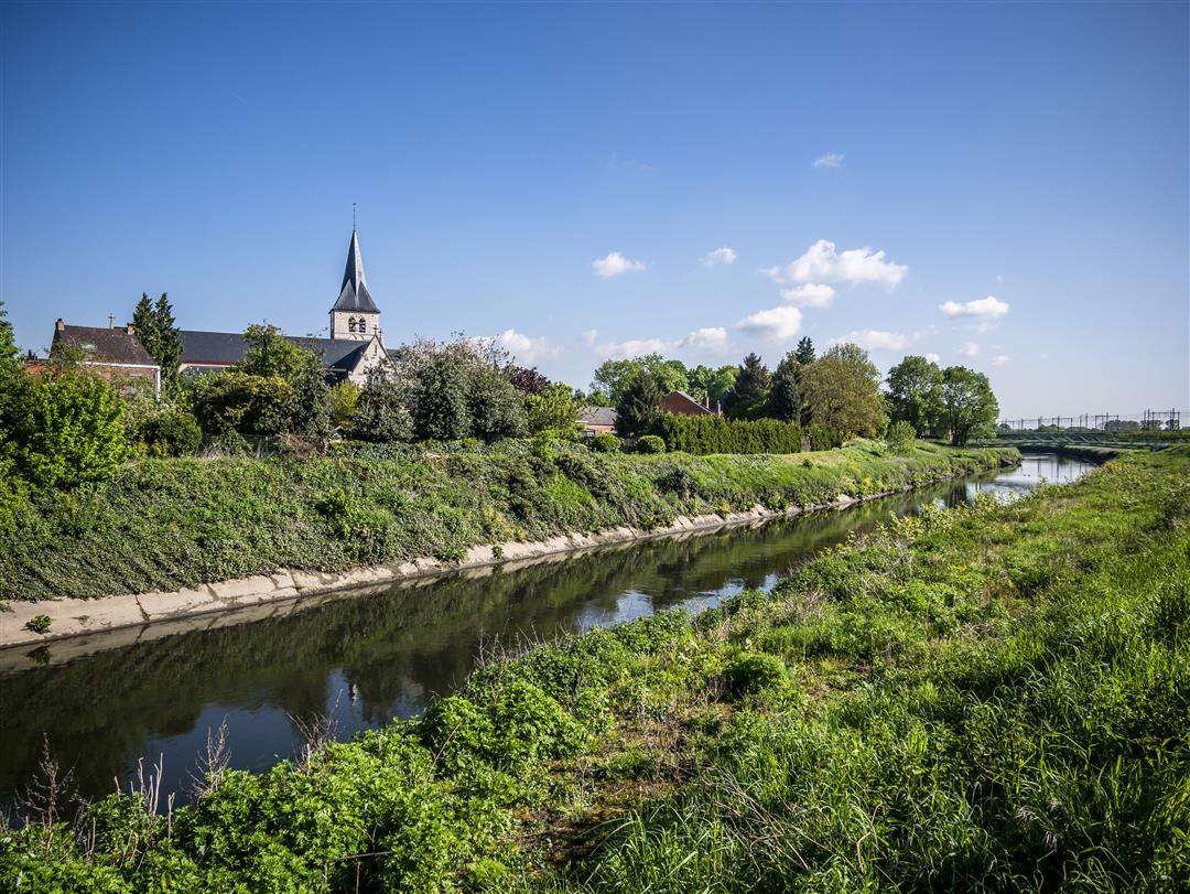
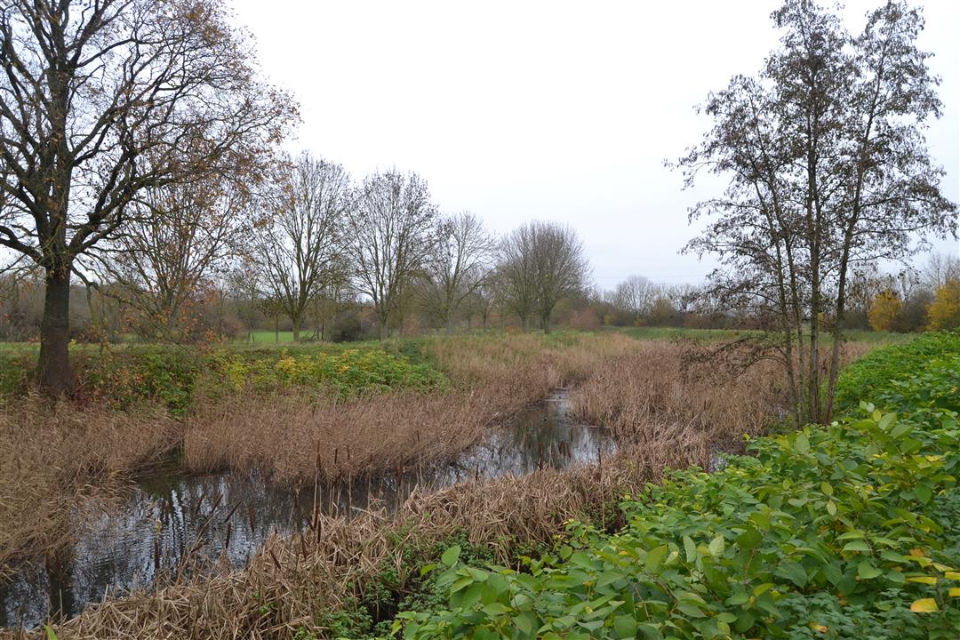
Rural Eppegem provides the backdrop for a varied walk through nature and the fields, past farmhouses and castle estates. One example is the listed, U-shaped Piekaertshoeve, built in a typical Brabant farmhouse style. Wolfslinde Castle was built in 1794 by Baron Gerard van Outheusden, and Impel Castle in 1783 by Baron Lambert-Joseph van Reynegom, and Eetveld Castle as late as 1930 by Léon de Meester de Betzenbroeck. The Dorent-Nelebroek nature reserve, in turn, serves as a habitat for many species of birds and amphibians.
Before you set out: This is a walk on a virtual hiking network. The junctions are not marked on the ground. Follow the hexagonal red-and-white signs bearing the name of the walk.
automatic translation
 nodes to follow
0 km
1.1 km
2.9 km
3.3 km
3.7 km
4.2 km
5.3 km
6 km
6.3 km
7.3 km
7.3 km
8.3 km
Tuesday, March 30, 2021 by P.S.Hike that at times very beautiful, especially the last part through the local nature reserve, but it frequently runs through habitation. Interesting are the various historic mansions and castles, each of which is explained with an information board.
automatic translation
Friday, August 30, 2019 by ingid VerduynThe hike is indeed signposted and is called "rural Eppegem.
automatic translation
Monday, August 12, 2019 by Wilfried RosiersNice walk along (for the region) quiet roads. With a few picturesque views along the way. For the last kilometers of the walk, along the Zenne, are very beautiful and very rural.
automatic translation
Monday, August 5, 2019 by M.S.The description sounds great, but the hike is ultimately not that spectacular: quite a bit of it leads past buildings. Only the part through the Broek has a "high Nature Point content".
automatic translation
Sunday, August 4, 2019 by Frans PypeBeautiful and varied hike.
automatic translation



 Upgrade to Premium Plus


