 Hiking
 Login
Login
 More
More
 EN
EN
 Premium
Explore Averbode
automatic translation
13.5 km • Scherpenheuvel-Zichem
1.6755 2 5/5

 Addresse starting point (approximate)
Abdijstraat 1, 3271 Scherpenheuvel-Zichem, BE
 signage
The route is fully signposted with nodes.
 Description
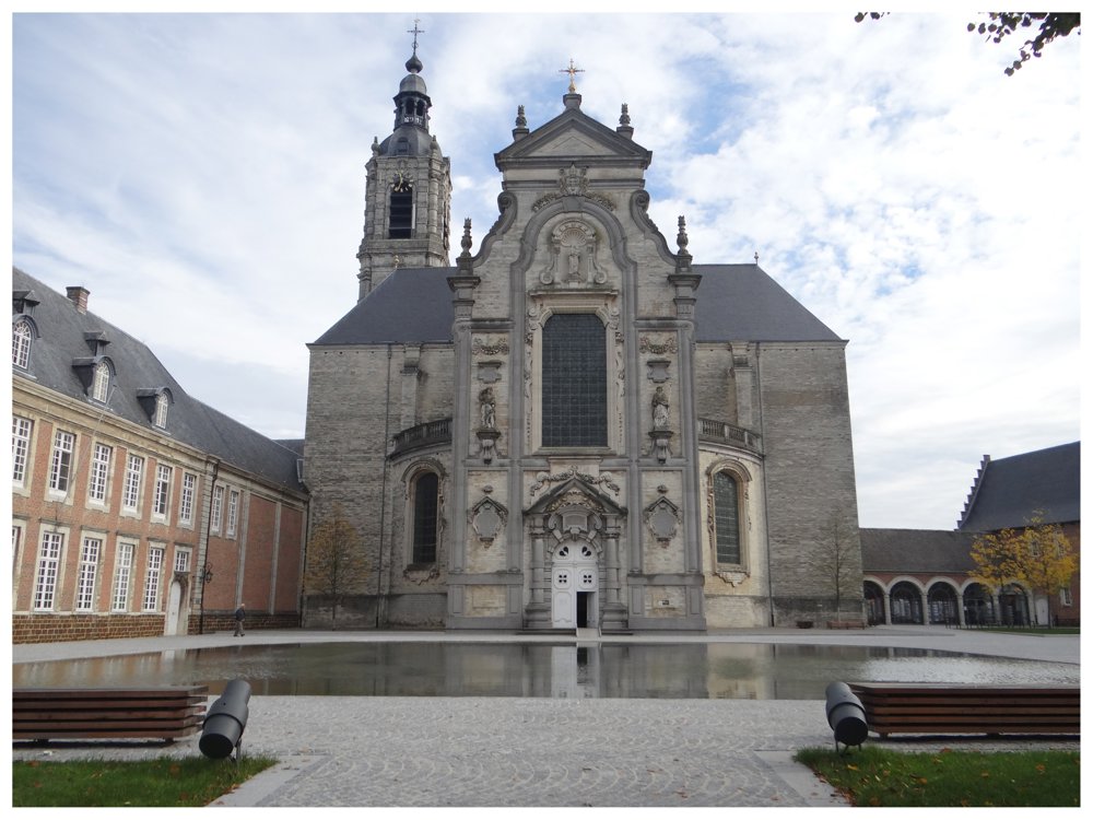
A splendid and varied hike that begins at the Abbey of Averbode, a place that is freely accessible and absolutely worth visiting.
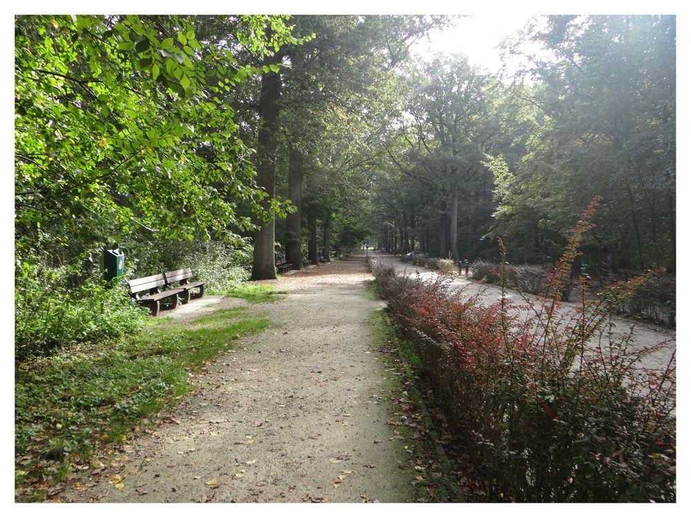
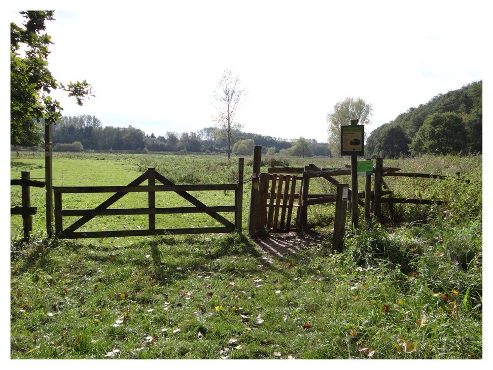
The route continues through the Catselt nature reserve, passes Molenstede, and winds further through the Demerbroeken area.
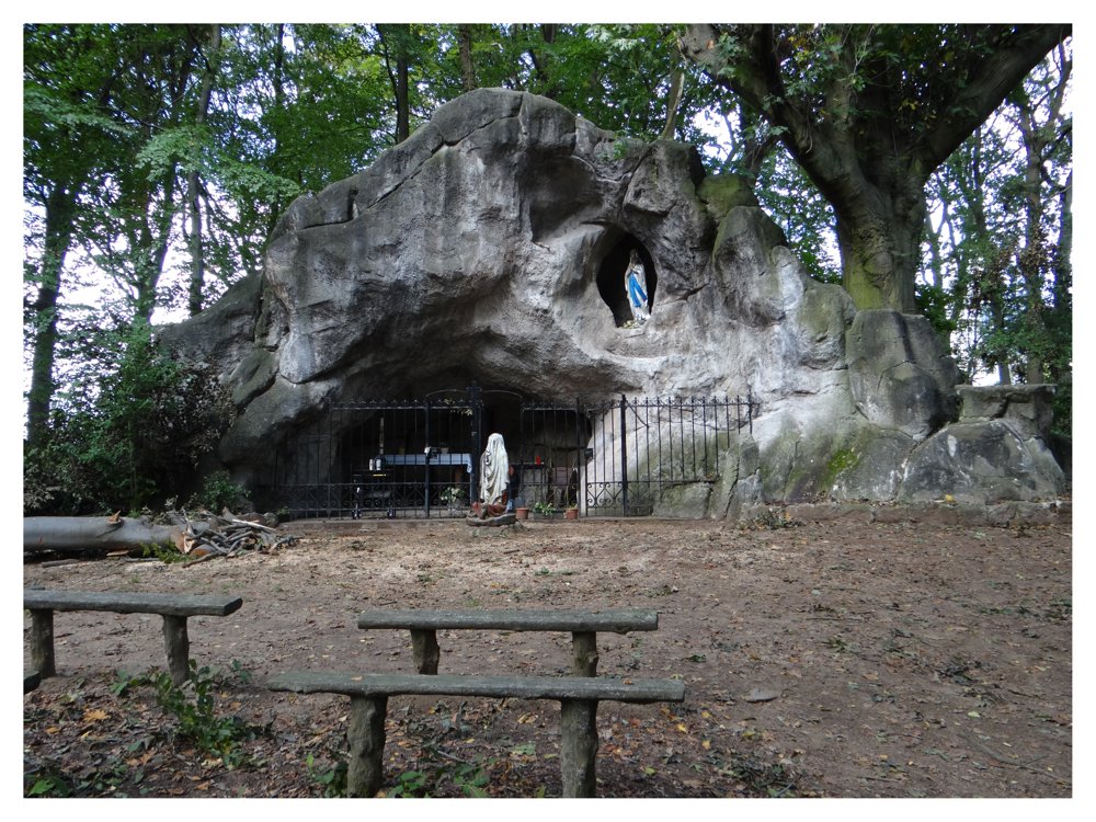
Finally, the hike leads back through the Mariapark to the endpoint.
More photos: https://photos.app.goo.gl/JbaukmZEr1vPhzZT7
Happy hiking,
Eddy, Rita, and Prinske
automatic translation
 nodes to follow
0 km
0.3 km
1.4 km
3 km
4.8 km
5.4 km
5.9 km
7.8 km
8.7 km
9.8 km
10.1 km
10.7 km
11.7 km
12.9 km
13.1 km
13.5 km
13.5 km
Thursday, February 26, 2026 by Elke Van KelstBeautiful walk along the forest and nature reserve. We did have to make a small detour from KP 250 because the meadow was closed off towards KP 935 (we walked directly from KP 250 to 407).
automatic translation
Sunday, March 1, 2026 by Eddy & RitaThank you for your response. Enjoy your walks!
automatic translation
Tuesday, July 22, 2025 by Leen Van de PutFine walk! And at the end a tasty stop at The Moment. Thanks for sharing this hike!
automatic translation
Saturday, August 2, 2025 by Eddy & RitaHappy to share! Have a great time hiking!
automatic translation


 Upgrade to Premium Plus
