 Hiking
 Login
Login More
More EN
EN Premium
Via Ossel walk
automatic translation
7.3 km • Merchtem
 official route
route offered by
 Addresse starting point (approximate)
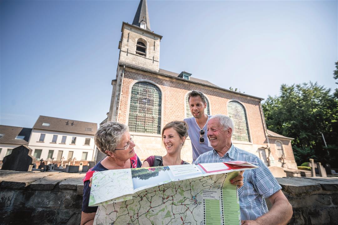
Sint-Jan-Baptistkerk, Kasteelstraat 12B, 1785 Merchtem
 signage
The route is fully signposted with nodes.
 Description
At the water mill of Brussegem, your tour begins through the beautiful Merchtem landscape. You step past the Foeksenbos and pass the Torenhof, a square farm that is listed as a protected monument. In the farm store you can buy apples from the nearby orchards. If you are lucky, on your walk you might spot a little owl, Belgium's smallest owl, taking flight.
This walk is offered by Regionaal Landschap Brabantse Kouters in collaboration with the municipality.
automatic translation
 nodes to follow
0 km
0.7 km
1.3 km
1.7 km
3.4 km
4.3 km
6 km
6.4 km
6.5 km
7.3 km
Sunday, February 28, 2021 by B.D.Very nice walk.Highly recommended.
automatic translation
Tuesday, June 30, 2020 by GILBERTE DE BLOCKBeautiful walk in the middle of nature. The hike is not suitable for wheelchair users because there are many stones on the paths. Too bad there's no parking at the church of Ossel, where the starting point is. You can park your car on the main road leading to Wemmel.
automatic translation


 Upgrade to Premium Plus
