 Hiking
 Login
Login
 More
More
 EN
EN
 Premium
Lokeren : the Buylaers and Molsbroeken
automatic translation
9.6 km • Lokeren
1.8919 2 2.5/5

 Addresse starting point (approximate)
Sportlaan 4A, 9160 Lokeren, BE
 signage
The route is signposted with thematic signs (no nodes). You can use a GPS device or our app to follow the route through the virtual nodes.
 Description
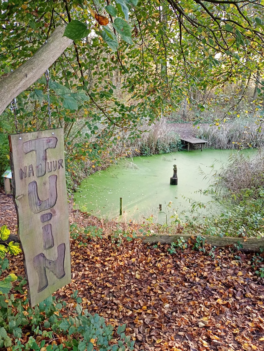
Departure: parking lot swimming pool Durmehal - Sportlaan 2 - Lokeren
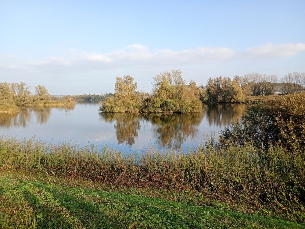
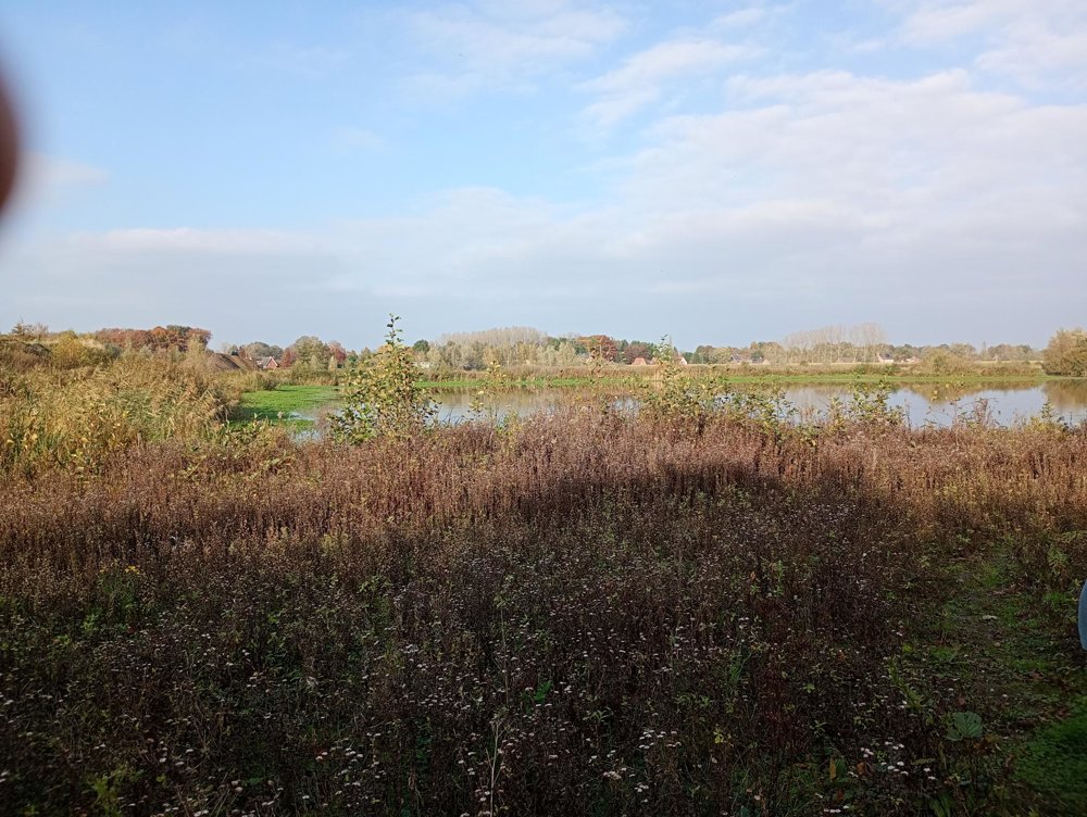
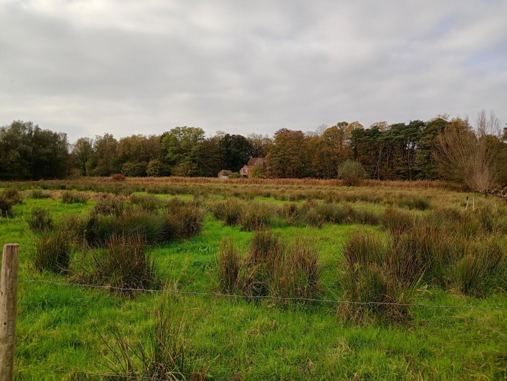
We walk through the nature reserve De Buylaers and Molsbroeken to the Hamputten.
It is also possible to walk completely around the Hamputten (+ 3 to 4 km), but then you pass along the noisy E17, which is not pleasant for walking.
automatic translation
Sunday, November 2, 2025 by Tanguy Van der Gucht Beautiful route
automatic translation
Sunday, March 2, 2025 by V.M.Route is not marked no signage.
automatic translation
Saturday, May 10, 2025 by Peter D'hontTrue, but I can't edit this anymore. Thanks for reporting.
automatic translation


 Upgrade to Premium Plus
