 Hiking
 Login
Login
 More
More
 EN
EN
 Premium
Markwandeling
9.2 km • Pajottegem
 official route
5.32412 4 4.1/5
route offered by
 Addresse starting point (approximate)
Parking Hernestraat, Hernestraat, 1570 Tollembeek
 signage
The route is fully signposted with nodes.
 Description
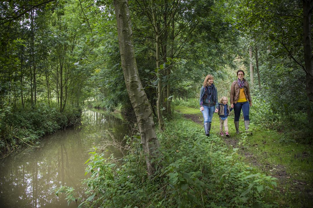
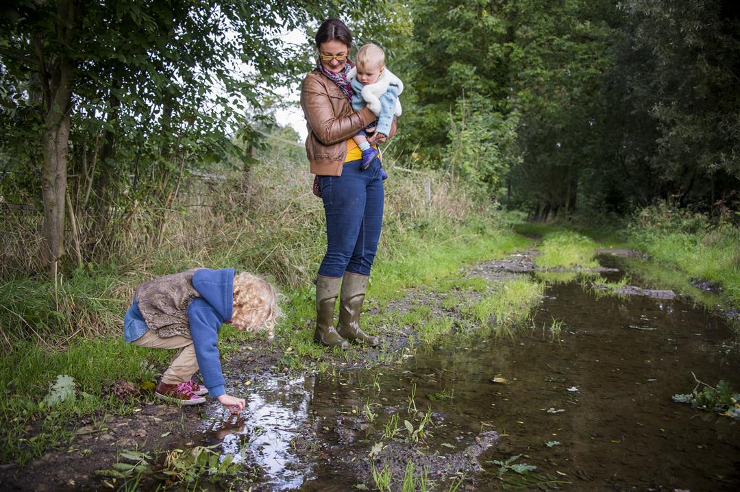
With the little Mark River as your companion, you’ll stroll through the Pajot landscape of Tollembeek and Herne. The bronze statue of Urbanus waves you off, and soon you’ll disappear among the cow pastures and forests along unpaved paths. You’ll pass the Carthusian monastery, the Aerebeek Chapel, and no fewer than three centuries-old watermills: the Sint-Waldetrudis Mill, the Boes Mill, and the Wielant Mill.
automatic translation
 nodes to follow
0 km
0.5 km
1.1 km
2.1 km
3.4 km
3.5 km
3.6 km
3.9 km
5.2 km
6.4 km
7.2 km
8.7 km
9.2 km
Saturday, May 1, 2021 by P.B.The route is very nice where it runs along the Mark, but you do have quite a few streets to cover as well
automatic translation
Sunday, June 28, 2020 by Bart GabrielsWalked off route today with our little family. A nice quiet hike with highlights from Tollembeek to Herne along the Mark creek/river. Pure nature, unpaved trail away from all the crowds. Just before Herne a little off road lets you enjoy wonderful views of Herne. Definitely recommended.
automatic translation
Monday, June 8, 2020 by R.V.This was a very nice hike, beautiful nature, beautiful animals. All the junctions were well marked. VERY highly recommended!!!
automatic translation
Sunday, June 7, 2020 by Joost VerlindenNice walk, especially along the Mark. Fairly flat.
automatic translation


 Upgrade to Premium Plus
