Loading...

Tour Zwevegem

automatic translation

9.2 km • Zwevegem

4.0764 2 4.5/5

9.2 km 0.0 km 0.0 km

route offered by

Peter XX

Icon starting point Addresse starting point (approximate)

Sint-Denijsplaats, 8554 Sint-Denijs, BE

Icon type signage of route signage

The route is partially signposted with nodes. Use a GPS device or our app to follow the route.

5m 5m 5m 5m
Atmosphere image 1 of route Tour Zwevegem Atmosphere image 2 of route Tour Zwevegem Atmosphere image 3 of route Tour Zwevegem
© Peter D'hont

Icon description route Description

A walk on the language border.

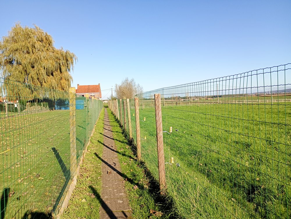
A quiet walking route without any elevation changes. The walking paths on the local roads are mostly paved with large concrete tiles, keeping feet dry in rainy weather.

On our walk, we also encounter an inhabited house accessible only via such a narrow country road. Not easy to have a new couch delivered here.

Along the way, there is a campsite where a sanitary stop can be made.

automatic translation

Icon nodes to follow nodes to follow

Image node 94
0 km
Image node 20
0.4 km
Image node 21
1.2 km
Image node 22
1.5 km
Image node 23
1.7 km
Image node 17
2.7 km
Image node 16
2.9 km
Image node TP
3.9 km
Icon deviation route
4.5 km
Image node 86
6.4 km
Image node 85
7.4 km
Image node TP
7.9 km
Icon deviation route
8.2 km
Icon deviation route
8.3 km
Icon deviation route
8.6 km
Icon deviation route
8.9 km
Icon deviation route
8.9 km
Image node 94
9.2 km
This route has 2 review(s).
Rate route!

Friday, May 1, 2026 by Lin DesGreat! Quiet, no hills.
automatic translation

Sunday, January 11, 2026 by Bjorn DecockSuper tour
automatic translation

Which POI do you want to show on the map?

Experimental hiking network
Unsigned icon

The route you have chosen runs (partly) along an experimental virtual hiking node network (the blue-coloured nodes and sections on the map).

You must be logged in to plan routes here.

Experimental hiking network
Unsigned icon

The route you have chosen runs (partly) along an experimental virtual hiking node network (the blue-coloured nodes and sections on the map).

These routes are not controlled in the field. Before you start hiking here, take a minute to read what an experimental hiking node network is and what rules you should follow when hiking here.