 Hiking
 Login
Login
 More
More
 EN
EN
 Premium
Heikruiswandeling
9.4 km • Pepingen
 official route
2.9095 3 4.3/5
route offered by
 Addresse starting point (approximate)
Sint-Bernarduskerk, Heikruisplaats, 1670 Heikruis (Pepingen)
 signage
The route is fully signposted with nodes.
 Description
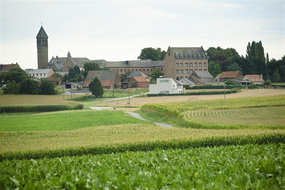
Heikruis is a picturesque village. Take a moment to admire the Romanesque and Gothic features of the parish church, marvel at the former Ursuline convent dating from 1839, and then set off into the rural Pajottenland region. You’ll pass beautiful farmhouses such as the Hof te Plutsingen. In the distance, you’ll see the Kesterberg, which, at 112 meters, is the highest point in the region. Every now and then, Brussels’ high-rise buildings and the dome of the Koekelberg Basilica appear on the horizon.
automatic translation
 nodes to follow
0 km
0.1 km
0.2 km
1.9 km
2.6 km
2.6 km
4 km
5.7 km
5.7 km
5.8 km
6.8 km
7.9 km
8.1 km
8.2 km
9.2 km
9.3 km
9.4 km
Tuesday, January 5, 2021 by Hendrik De TantBeautiful hike, despite the gray weather still nice views. 109 m elevation gain. Many paved roads, ideal for the wet season
automatic translation
Saturday, December 5, 2020 by Bart BriesenNice hike, lots of paved roads with pleasant views. Hike is well marked.
automatic translation
Sunday, August 2, 2020 by Gaston Van De Keervery good !
automatic translation


 Upgrade to Premium Plus
