 Hiking
 Login
Login
 More
More
 EN
EN
 Premium
Bree-Eikwandeling
9.5 km • Pajottegem
 official route
5.86812 6 4.8/5
route offered by
 Addresse starting point (approximate)
Sint-Martinuskerk, Bruneaustraat 74, 1755 Kester
 signage
The route is fully signposted with nodes.
 Description
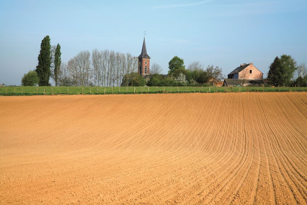
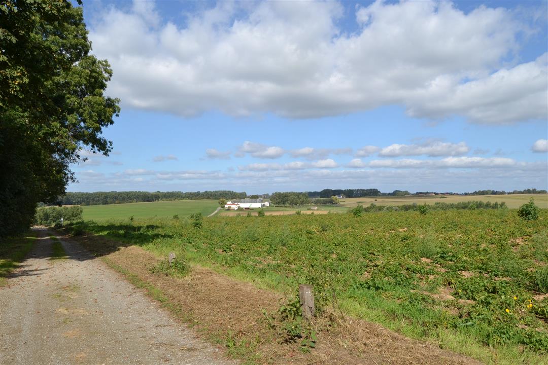
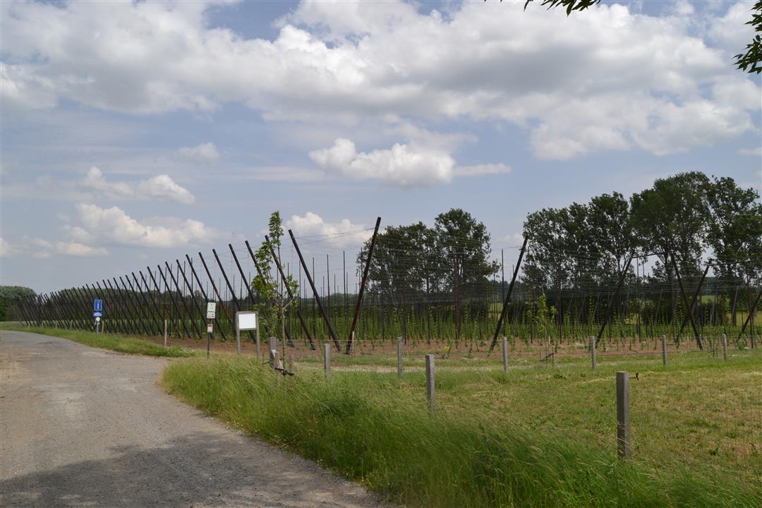
A wonderful sense of peace washes over you as you stroll through the valleys of Gooik and Lennik. You’ll walk past meadows and fields, across streams and dirt paths, until you reach the absolute highlight of your walk: the Hof te Bree-Eik. It is by far the largest farmstead in the Pajottenland. The buildings are arranged around two courtyards, and together they measure no less than 60 by 106 meters. You’ll also pass the Stevenisten Chapel, where a prayer service is still held every Sunday.
automatic translation
 nodes to follow
0 km

0.1 km
0.2 km
0.3 km
0.4 km
2 km
2.8 km
2.8 km
3.4 km
4.5 km
4.7 km
5.7 km
5.9 km
6.4 km
7.6 km
8.7 km
9.1 km
9.3 km

9.5 km
Tuesday, June 23, 2026 by Nadine De WinneIt was a pleasant walk, and the dog loved it. Toward the end, the signage isn't very clear.
automatic translation
Sunday, July 13, 2025 by M.M.Beautiful walk through the fields of the Pajottenland!
automatic translation
Sunday, June 23, 2024 by L.J.Very nice hike mostly through nature. However, some of the hiking nodes have become almost unreadable due to the growth of trees and plants, including at point 39.
automatic translation
Wednesday, November 11, 2020 by Raymond PeetersVery nice walk 👍👍👍👍👍
automatic translation
Tuesday, May 19, 2020 by Christiane HougardyVery nice hike, highly recommended.
automatic translation
Sunday, January 26, 2020 by Wim De DonckerVery nice walk along several square farms, mostly through fields and slow roads. Very short stretches along several stone roads. Highly recommended if you want to enjoy nature.
automatic translation


 Upgrade to Premium Plus
