 Hiking
 Login
Login
 More
More
 EN
EN
 Premium
Esbeek: Estate De Utrecht
automatic translation
14.4 km • Hilvarenbeek
1.1751 1 5/5

 Addresse starting point (approximate)
Dorpsstraat 12, 5085EG Hilvarenbeek, NL
 signage
The route is fully signposted with nodes.
 Description
It's best to park at the church in Esbeek, as there are not many parking options.
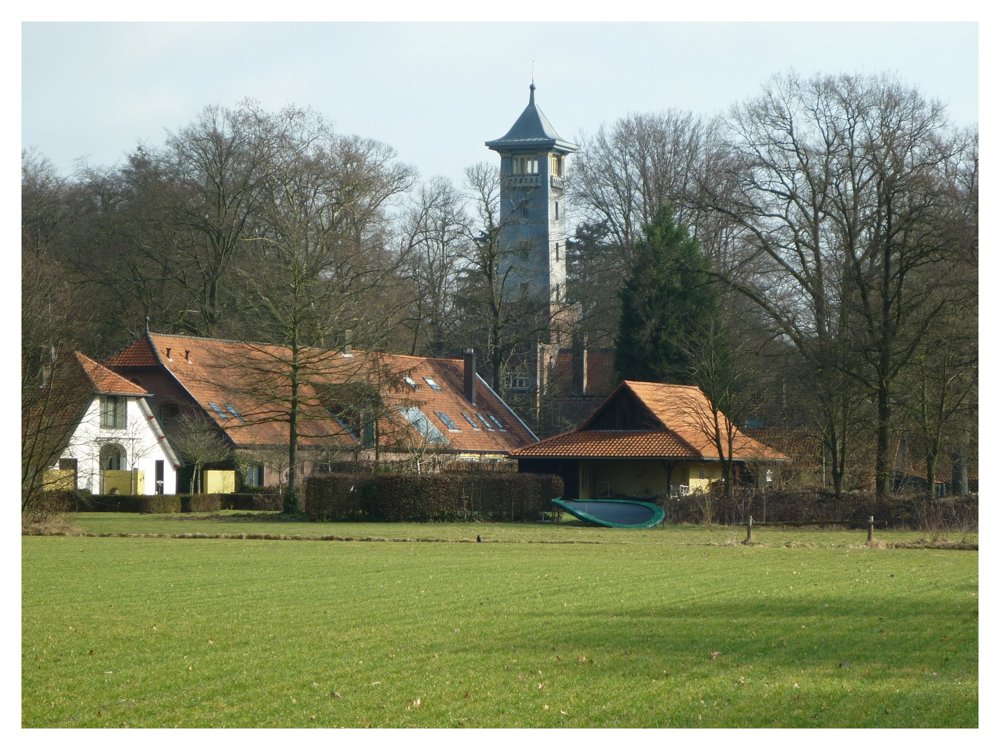
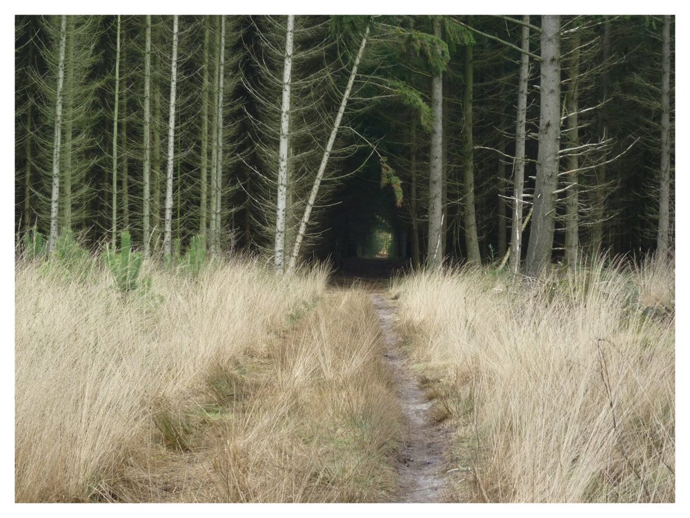
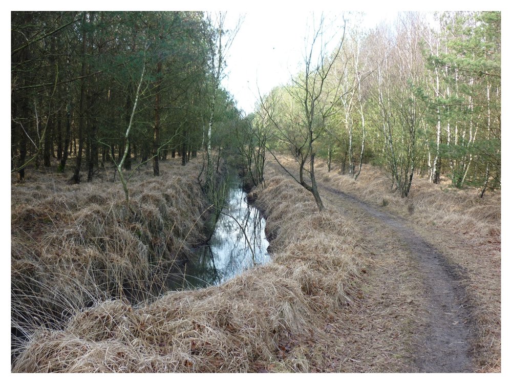
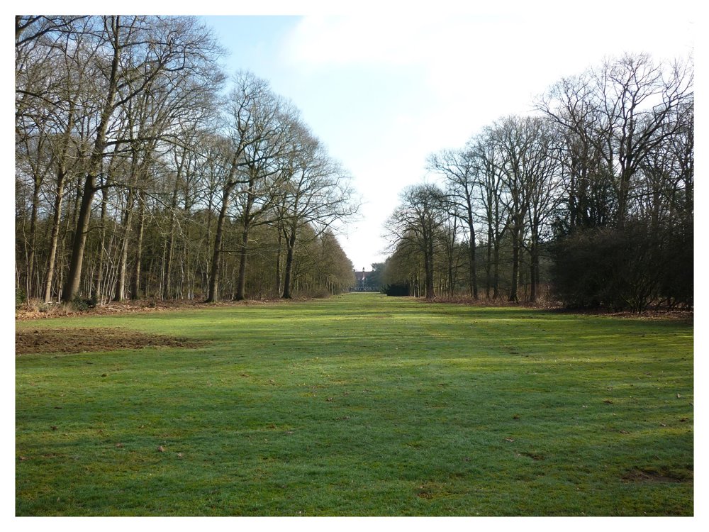
This is a beautiful varied walk in the vicinity of and through the estate 'De Utrecht'. The Estate De Utrecht, covering an area of about 2500 hectares, is located in the North Brabant part of the Kempen, south of Esbeek within the municipalities of Hilvarenbeek and Reusel-De Mierden.
This estate comprises extensive production forests, agricultural lands, various nature reserves, a geological monument, a small river, and several ponds. Moreover, the estate is home to more than 130 different breeding bird species.
More photos: https://photos.app.goo.gl/MZ8nxtVksU9SWye58
Happy hiking,
Eddy, Rita and Prinske
automatic translation
 nodes to follow
0 km
0.1 km
0.4 km
1.7 km
2.2 km
2.4 km
2.7 km
4.6 km
6 km
8.2 km
8.6 km
9.8 km
11.2 km
12.3 km
12.8 km
13.2 km
14 km
14.3 km
14.4 km
Friday, May 30, 2025 by Herman Van den ReeckVery nice route along lots of forest and some fields. A meditation moment at the natural cemetery (with toilet). Route is not yet known to many and therefore quiet. Numerous references to farming by statues and paintings. From the church of Esbeek a bit tricky with GPS navigation. Do not worry about 1st deviation alarm.
automatic translation
Thursday, June 5, 2025 by Eddy & RitaThank you so much for this fine response! Have fun hiking!
automatic translation


 Upgrade to Premium Plus
