
 Hiking
 Login
Login
 More
More
 EN
EN
 Premium
Blauwe Kei: canal bank walk
automatic translation
6.9 km • Lommel
6990 0 0/5

 Addresse starting point (approximate)
Blauwe Kei 46, 3920 Lommel, BE
 signage
The route is fully signposted with nodes.
 Description
A beautiful walk that starts at the "Blauwe Kei" in Lommel.
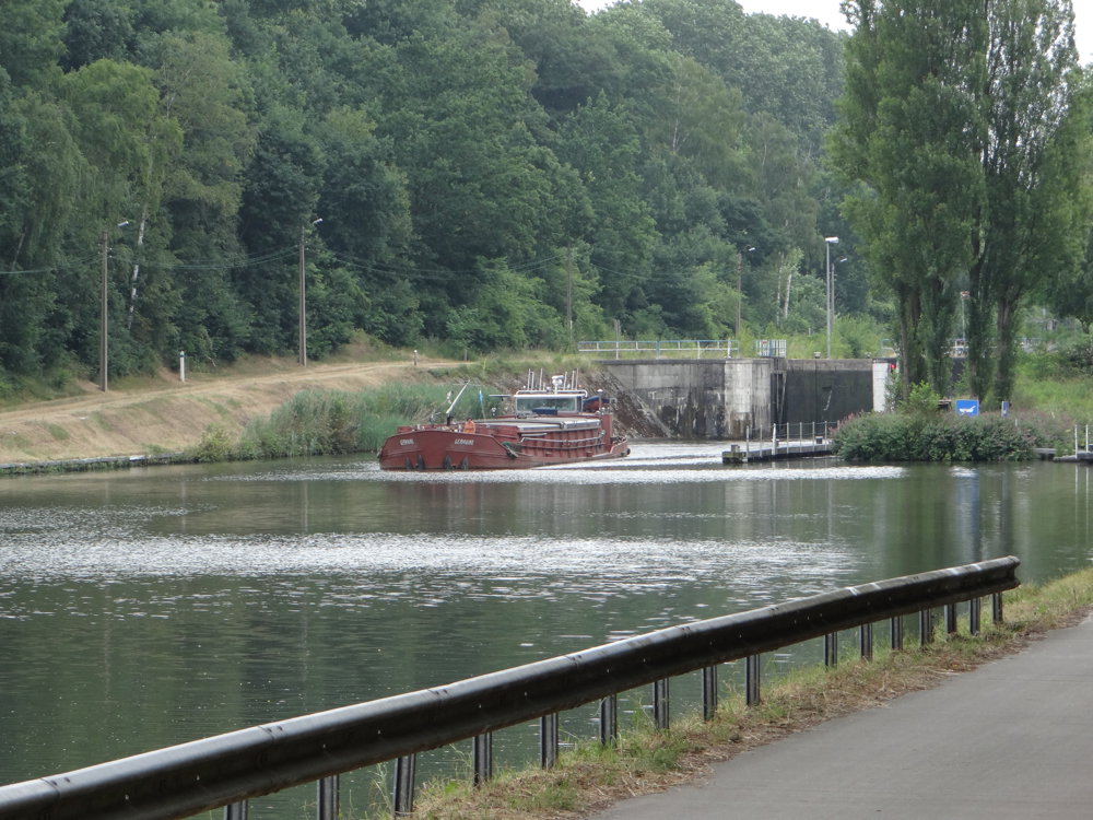
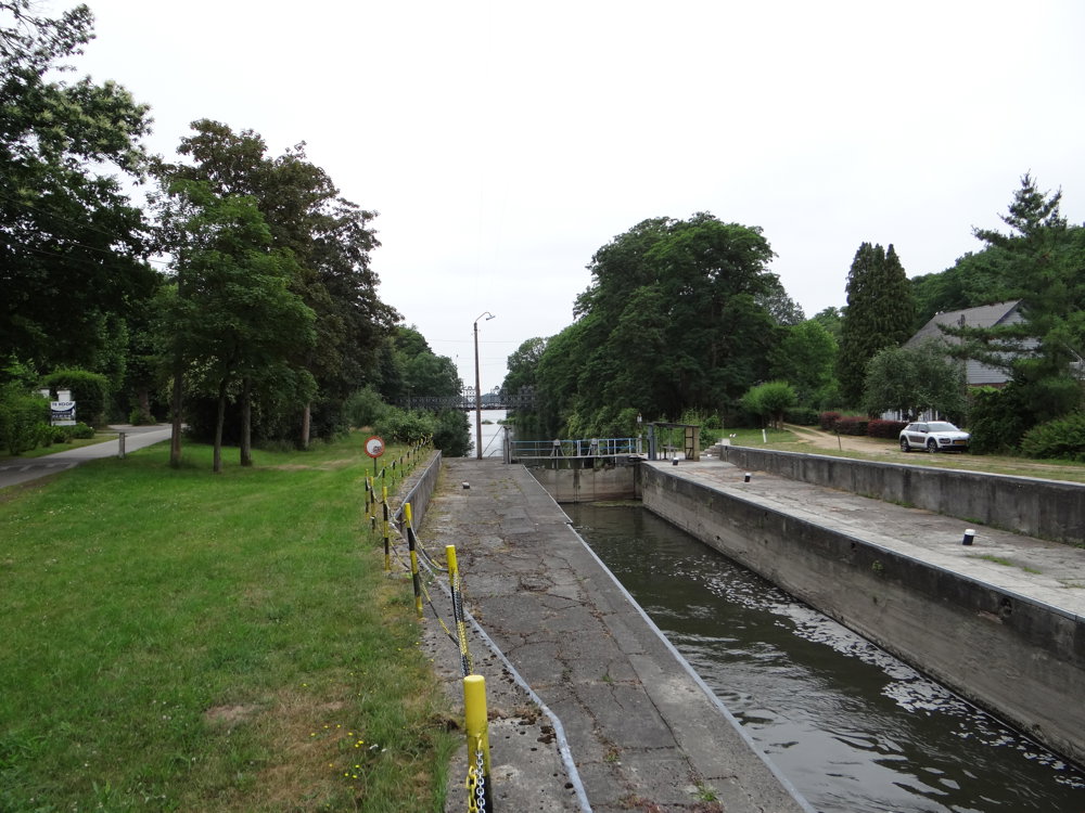
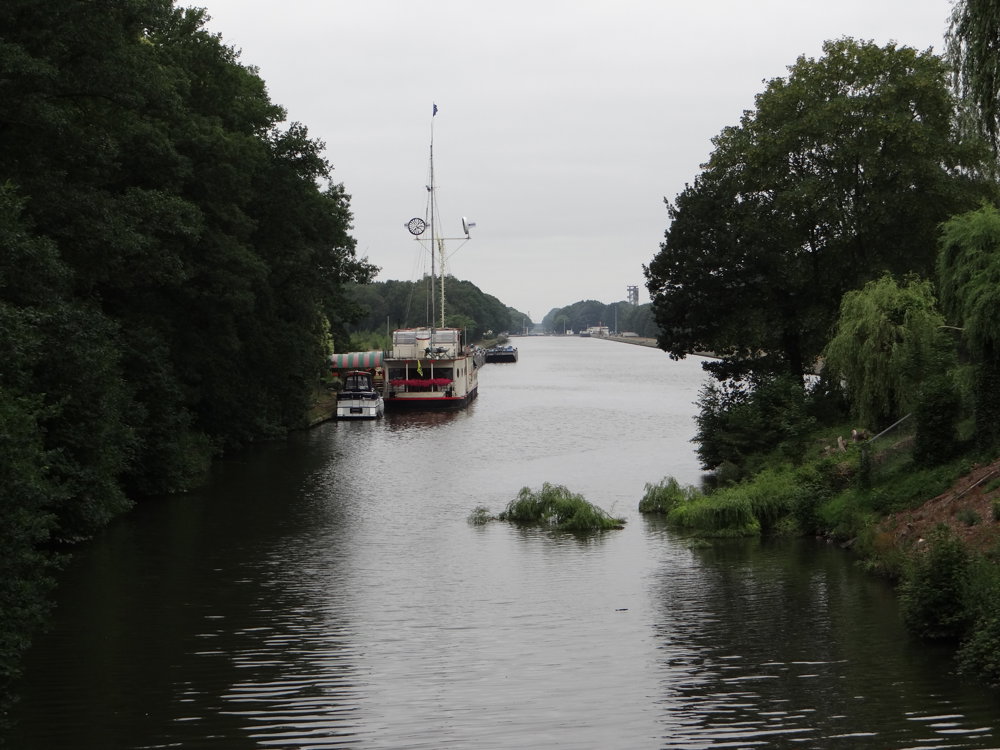
You would expect this route to run along the banks of the Bocholt-Herentals canal, and it does. The surprising part is that the canal is only visible in a few places.
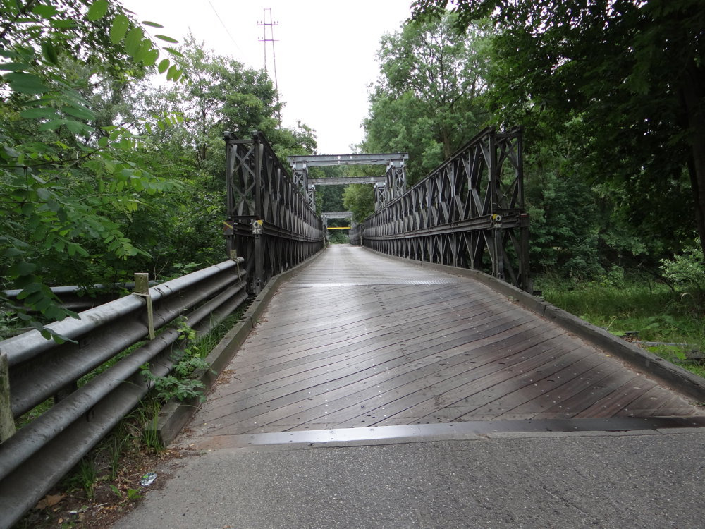
The canal is crossed via the Bailey bridge. At the start of World War II, the original bridge was destroyed. During the liberation of our country, the English replaced it with a military bridge designed by D.C. Bailey, the Bailey bridge, which still proves its robustness today.
The route goes through nature reserves managed by Natuurpunt and lies just a few meters from the canal. We certainly enjoyed this walk.
More photos: https://photos.app.goo.gl/JbaukmZEr1vPhzZT7
Happy walking,
Eddy, Rita, and Prinske
automatic translation
 nodes to follow
0 km
0.1 km
0.4 km
0.6 km
1.2 km
1.7 km
2.2 km
2.8 km
3.5 km
3.9 km
4 km
4.5 km
4.5 km
5.3 km
6.2 km
6.9 km



 Upgrade to Premium Plus


