 Hiking
 Login
Login
 More
More
 EN
EN
 Premium
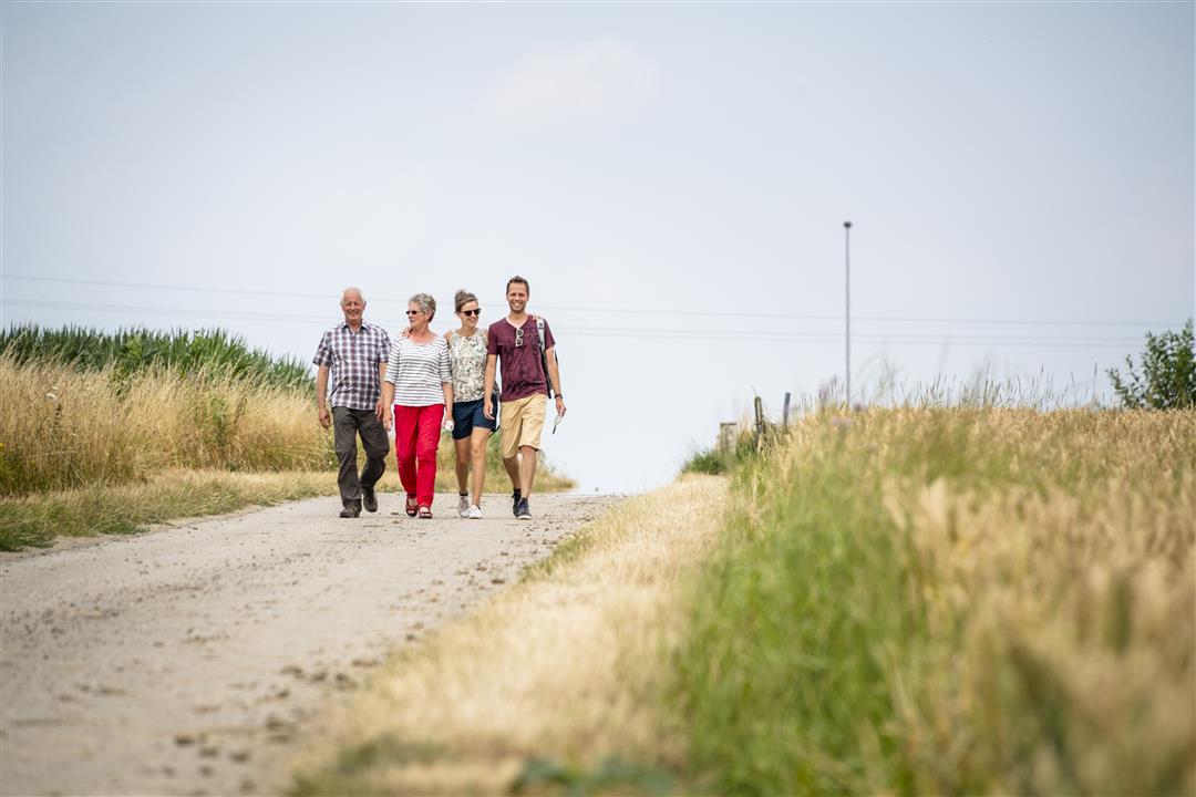
Windherenwandeling
11.4 km • Lennik
 official route
3.7407 2 3.8/5
route offered by
 Addresse starting point (approximate)
Marktplein, 1750 Sint-Kwintens-Lennik (Lennik)
 signage
The route is fully signposted with nodes.
 Description
In the town square of Sint-Kwintens-Lennik stands the statue of the draft horse Prins, the Pride of Brabant. This statue by artist Koenraad Tinel marks the entrance to the Pajottenland region. Stroll through fields and meadows past beautiful farmhouses and charming spots, with a view of Lennik Castle. On the horizon, you’ll spot the 302-meter-high VRT mast in Sint-Pieters-Leeuw and the white domes of the NATO communications equipment on the Kesterberg.
automatic translation
 nodes to follow
0 km
0.5 km
1.3 km
1.9 km
2.3 km
2.7 km
3.8 km
4.3 km
4.5 km
5.7 km
6.5 km
6.9 km
8 km
9 km
9.9 km
10.2 km
10.2 km
10.4 km
10.9 km
11.4 km
Wednesday, January 6, 2021 by Annelies Van regenmortelWalk with beautiful views and many square farms, but monotonous. Not recommended on a foggy day. Signage I followed with the junctions. I only encountered 1 red hexagonal sign.
automatic translation
Sunday, November 29, 2020 by Jozef BuylThis was a very nice hike,many views,nice roads,beautiful nature a must for .We will definitely do it again when winter comes.
automatic translation


 Upgrade to Premium Plus
