 Hiking
 Login
Login
 More
More
 EN
EN
 Premium
Hogebossenwandeling
10.5 km • Sint-Pieters-Leeuw
 official route
4.0107 7 3.9/5
route offered by
 Addresse starting point (approximate)
Onze-Lieve-Vrouwekerk, Dorp 46B, 1602 Vlezenbeek (Sint-Pieters-Leeuw)
 signage
The route is fully signposted with nodes.
 Description
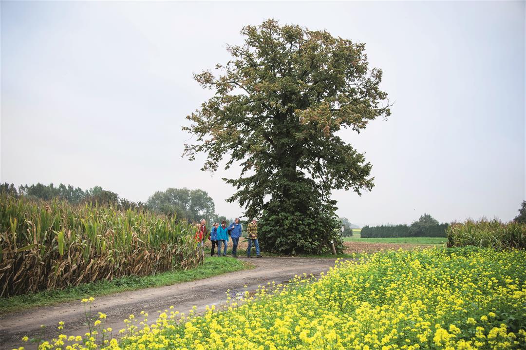
The place "Hogebossen" must once have been wooded, but today you'll walk among fields and meadows. Enjoy the panoramas and the beautiful buildings, such as the Groenenberg Castle, the Hof ter Nederloo and Inkendaal Castle. Along the way, you will discover the place where the Witseboom is located.
automatic translation
 nodes to follow
0 km
0.2 km
1.1 km
1.2 km
2.2 km
2.8 km
3.4 km
4.5 km
4.8 km
5.3 km
6.8 km
7.9 km
8.6 km
9 km
9.6 km
10.5 km
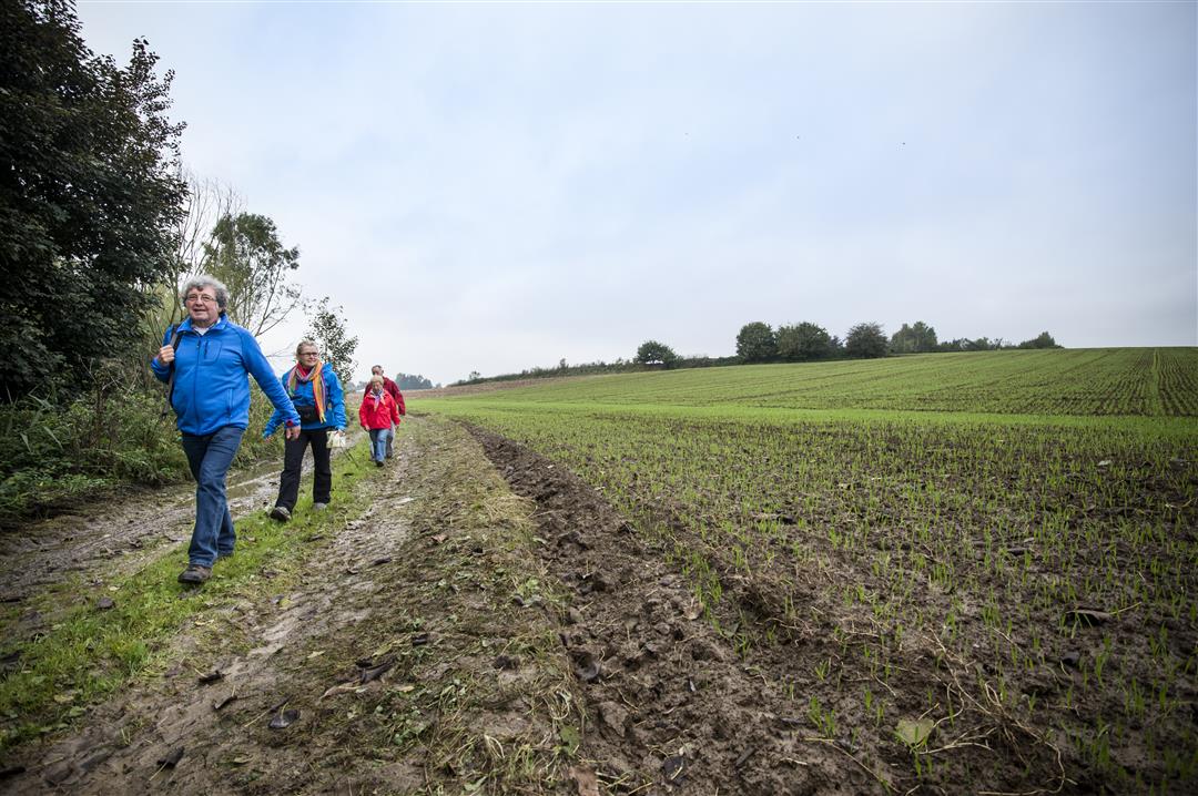
Saturday, February 1, 2025 by E.T.nice walk through the green Pajottenland. Attention from 743 to 744 a sign seems to have disappeared. Otherwise no problems. After the wet period, sturdy high hiking boots were an absolute must. We look forward to doing this hike again in summer and fall.
automatic translation
Friday, August 8, 2025 by Johan HubloueThere is indeed a sign there that has disappeared. Also pole between 735 and 736 is damaged. mvg
automatic translation
Wednesday, April 28, 2021 by A.T.Beautiful hiking trail. Slightly rolling, varied landscape. Hiked a completely dry trail today, but after a lot of rain the section between 736 - 735 may be very muddy. Very clear signage. Possibly parking at starting point 742 is difficult. Highly recommended, especially in the company of pleasant sunshine.
automatic translation
Monday, December 21, 2020 by Benjamin KeppensThis is a nice walk, through fields with occasional views of nearby Brussels. Rarely through forests as the name suggests. Through rolling fields ... Appropriate footwear provided if there was rain the past few days is recommended!
automatic translation
Monday, December 7, 2020 by E.T.Very nice walk along quiet roads. Take into account country roads and in rainy weather mud. Hiking paths damaged by agricultural vehicles. Walk comes in the vicinity of Castle of Gaasbeek. Beautiful views and one also passes the Witse tree.
automatic translation
Wednesday, November 11, 2020 by W.V.Beautiful hike through gently rolling natural landscape. Sometimes a bit muddy. Beware of cyclists.
automatic translation
Friday, July 31, 2020 by J.D.beautiful nature walk with well-traveled roads and trails
automatic translation
Thursday, March 19, 2020 by michele kestemontSuper fun I find to go hiking
automatic translation


 Upgrade to Premium Plus
