
 Hiking
 Login
Login
 More
More
 EN
EN
 Premium
Watermolenwandeling
6 km • Pajottegem
 official route
4.7117 4 3.8/5
route offered by

 Addresse starting point (approximate)
Baljuwhuis, Brusselstraat, 1570 Galmaarden
 signage
The route is fully signposted with nodes.
 Description
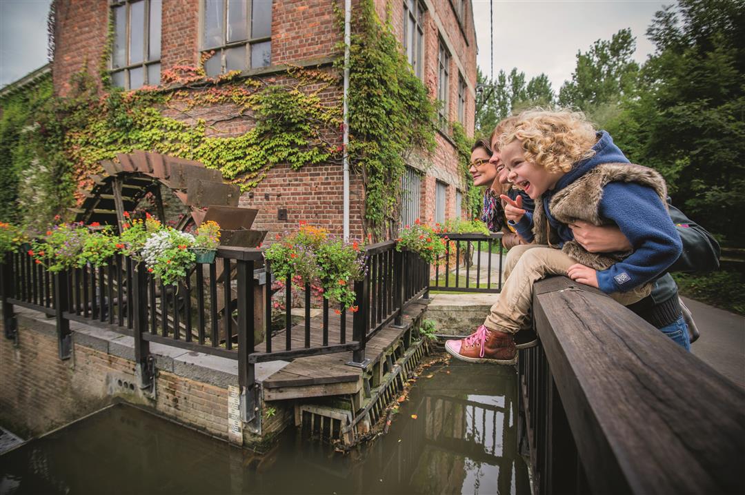
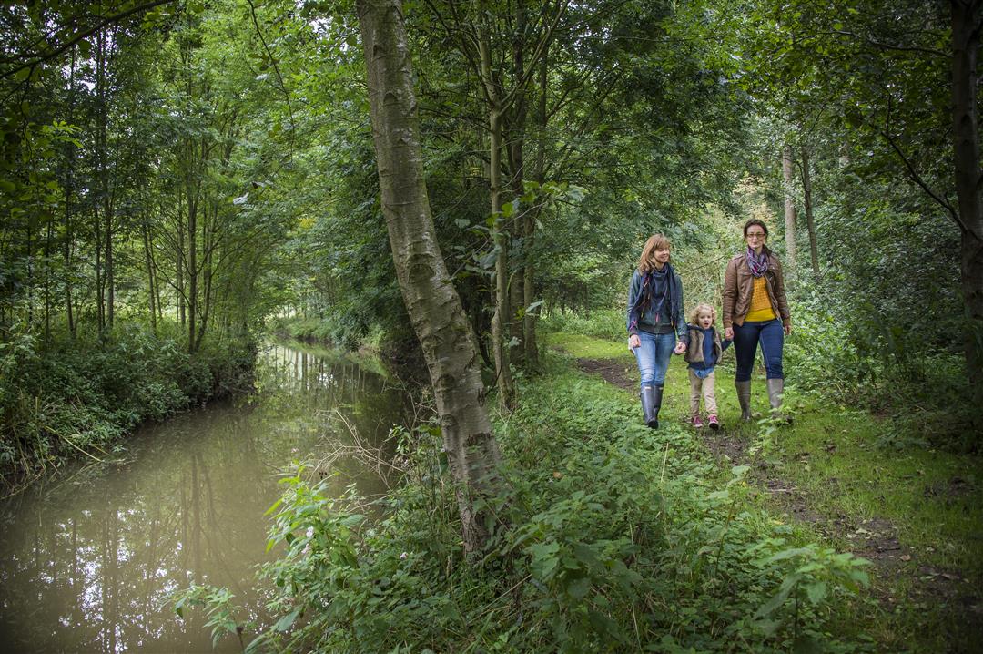
With the little Mark River at your side, you’ll walk out of the Pajot village of Galmaarden. For centuries, the Mark’s waters have powered numerous water mills. You’ll pass the beautiful Heetvelde Mill, a grain watermill with an undershot wheel that still grinds traditional grain varieties from the surrounding area. The walk also takes you over the gentle slopes of the Beverbeek valley, past farmhouses and through fields.
automatic translation
 nodes to follow
0 km
0.9 km
2.5 km
2.7 km
2.8 km
4 km
4.5 km
5.4 km
6 km
Sunday, January 18, 2026 by K.K.Nice walk—even in winter. A bit muddy in places, which the dog didn't like very much.
automatic translation
Sunday, October 19, 2025 by W.V.Great hike with beautiful views - note: between node 6 and 607 (unfortunately just the bit along the Mark) the route is interrupted due to fallen trees.
automatic translation
Sunday, May 24, 2020 by R.V.As usual well-marked route. Varied (especially in the beginning). Definitely worthwhile. However, you pass only 1 water mill.
automatic translation
Monday, November 11, 2019 by Hendrik De TantBeautiful hike, almost entirely in greenery.
automatic translation



 Upgrade to Premium Plus


