 Hiking
 Login
Login
 More
More
 EN
EN
 Premium
Ninglinspo No. 21
automatic translation
6.4 km • Aywaille
1.98210 1 5/5

 Addresse starting point (approximate)
Sedoz 5, 4920, BE
 signage
The route is signposted with thematic signs (no nodes). You can use a GPS device or our app to follow the route through the virtual nodes.
 Description
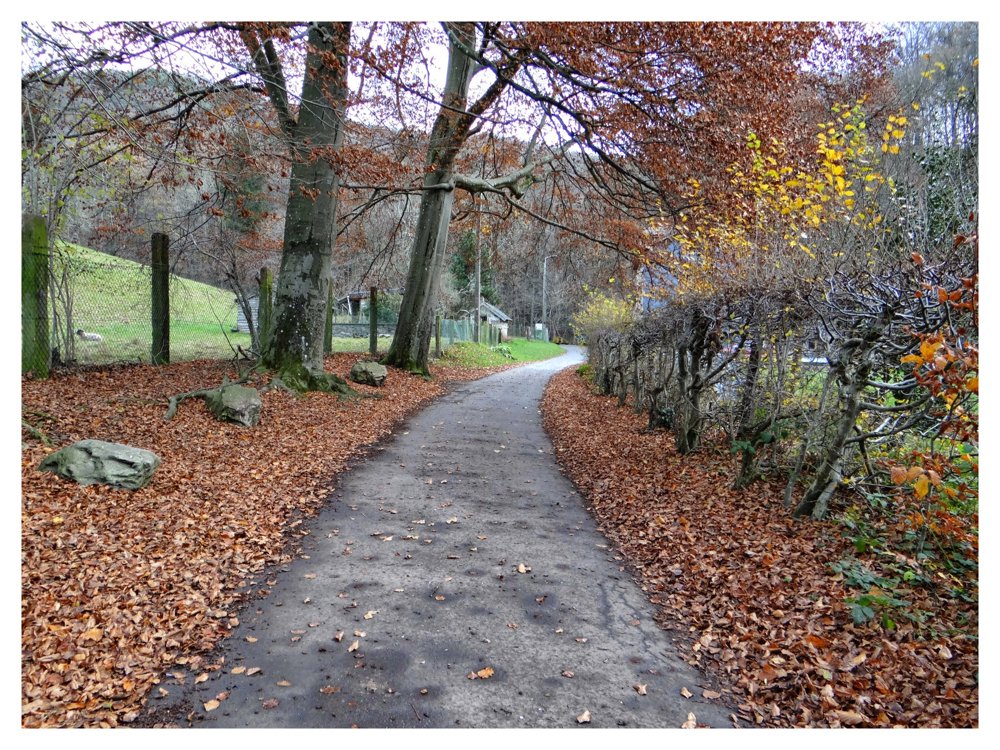
Beautiful route!
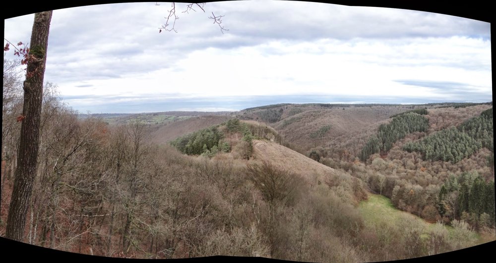
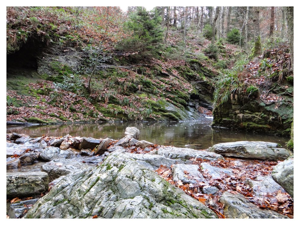
Welcome to the valley of the ‘Ninglinspo’.
The curious name ‘Ninglinspo’ is the result of a spelling error by French cartographers who distorted a large number of place names in the ‘Ourthe Department’, which was created in 1795 in our area. They confused the name of the stream with the name of the land where the brook flows into the ‘Amblève’. This piece of land was called: “En Inglin spau”, i.e., at the source of Inglin, the name of the person whose trace is lost.
The original name of the brook is actually ‘Le Doulneux’ (in Latin: Dulnosus), which indicates that it comes from an alder forest. In the charter of ‘Sigebert III’ from 647, this name is already mentioned.
More photos: https://photos.app.goo.gl/SJ8ZVPajmxHbt2B7A
Enjoy the walk, Eddy, Rita, and Prinske
automatic translation
 nodes to follow
0 km
0.5 km
0.7 km
1.3 km
1.7 km
2.5 km
2.8 km

3.1 km
4.8 km
5.2 km
6.3 km
6.4 km
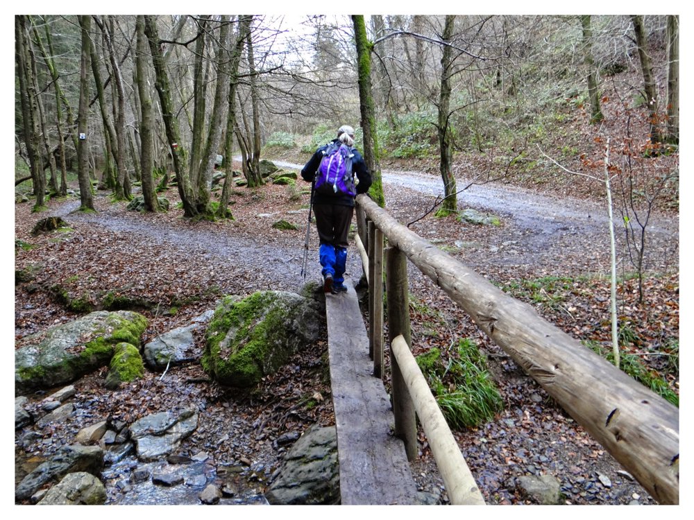
Wednesday, March 18, 2026 by J.B.A beautiful hike through the woods, mostly along the ravine of a small stream that has carved its way through the rocky terrain. I did this hike in February and, to be honest, found it quite nerve-wracking in places. I wondered if that was the point. Only suitable if you’re sure-footed.
automatic translation
Tuesday, April 21, 2026 by Eddy & RitaThank you for your comment. It really is an adventurous hike. Enjoy the rest of your hike!
automatic translation


 Upgrade to Premium Plus
