 Hiking
 Login
Login More
More EN
EN Premium
Walgraevewandeling
8.1 km • Galmaarden
 official route
1.1730 4 4/5
route offered by
 Addresse starting point (approximate)
Sint-Pauluskerk, Bakkerstraat, 1570 Vollezele (Galmaarden)
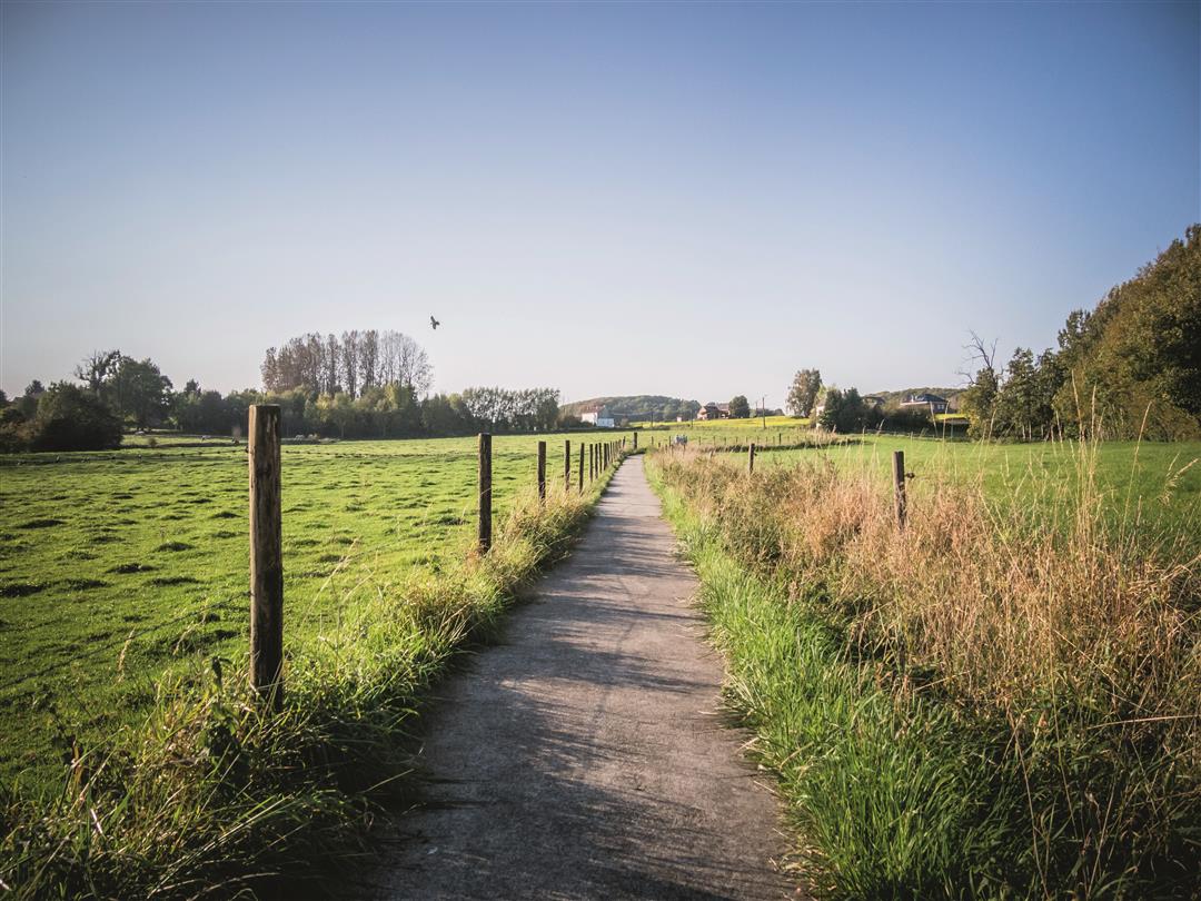
 signage
The route is fully signposted with nodes.
 Description
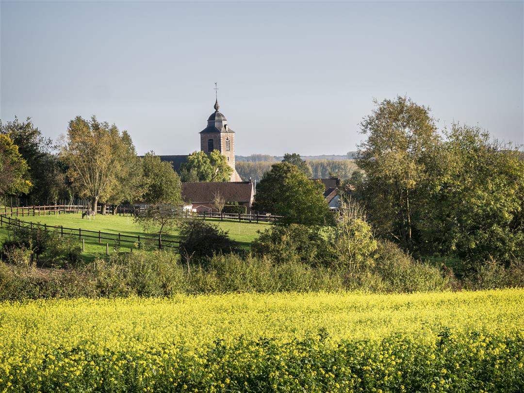
Panoramas trump this walk through the countryside around the village of Vollezele, named after the late pastor Aloïs Walgraeve. The views you get from the crest of the hill north of the village center invite you to enjoy them in silence. You walk past fields, meadows and orchards through the region of the Belgian draft horse. On the village square you will find the Museum of the Belgian draft horse that pays tribute to a rich past full of draft horses.
This walk is offered by Tourism Flemish Brabant.
automatic translation
 nodes to follow
0 km
0.8 km
1.9 km
2.2 km
3.4 km
4 km
4.2 km
5.4 km
6.6 km
7.7 km
8.1 km
Saturday, May 11, 2024 by A.T.Beautiful hike with some altimeters almost immediately. Nice view from the Rensberg road and the Congo mountain. Mainly paved, ideal after a wet period (on sunny days take the nagging of the grass machines :-) ). I extended this hike to about 15 Km with an extension towards Tollembeek via KNP 608 - 643 (along the Mark).
automatic translation
Monday, March 8, 2021 by P.L.Beautiful route, with the most beautiful panoramas the Pajottenland has to offer. Course mostly paved, very small part a bit muddy. Mostly no problem with baby carriage. Lots of free parking near the starting point at the church. Behind the museum at the church is a beautiful picnic area.
automatic translation
Sunday, October 11, 2020 by D.D.Very nice hike. Done on October 11. Varied small traffic-free asphalt lanes with narrow roadways. Most have a gravel or other form of pavement so that even in time of heavy rain it remains passable. Very nice views and lots of nature. Highly recommended. We will do it again
automatic translation
Friday, May 22, 2020 by Hendrik De TantHike done on Thursday 21/5/2020, very warm and sunny day. Very nice alternating paths and narrow roads, beautiful views and especially nice views from the plateau of the Congo Mountain. A must and definitely to be repeated.
automatic translation


 Upgrade to Premium Plus
