 Hiking
 Login
Login
 More
More
 EN
EN
 Premium
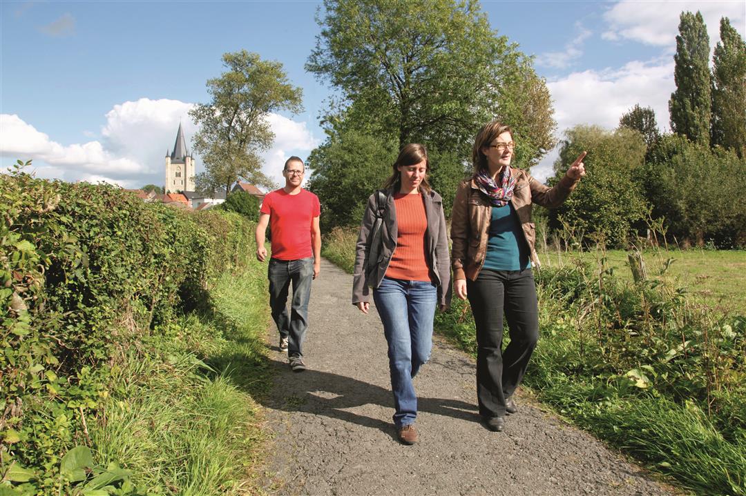
Aerebeekwandeling
9.9 km • Pajottegem
 official route
3.86710 10 3.6/5
route offered by
 Addresse starting point (approximate)
Parking gemeentehuis Herne, Centrum 17, 1540 Herne
 signage
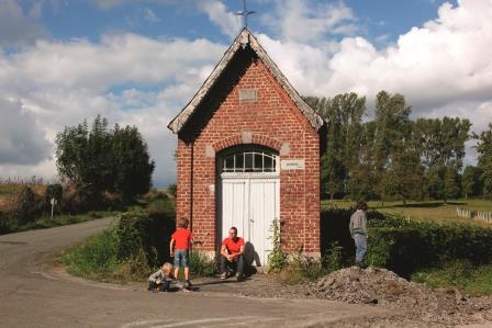
The route is fully signposted with nodes.
 Description
Beautiful rows of pollarded willows, stately 19th-century farmhouses with names like the Ooievaarsnest and Rankhove, sweeping views of the Mark Valley, and a glimpse of the Congoberg in the distance. This walk through the Aerebeek Valley in the village of Herne is a charming introduction to the green Pajot landscape.
automatic translation
 nodes to follow
0 km
1.1 km
1.3 km
1.5 km
2.5 km
3.1 km
3.3 km
3.9 km
4.7 km
5.9 km
6.6 km
7.1 km
8.6 km
8.8 km
9.5 km
9.9 km
Saturday, June 28, 2025 by J.H.Very nice walk. But at node 411 the arrows 410 and 415 point in the wrong direction.
automatic translation
Sunday, January 17, 2021 by A.T.Nice hike on very quiet, paved roads (90%). Ideal to get away from the mud at this time of year. Hardly saw a car, only a handful of hikers and cyclists, and this for a Sunday. Beautiful landscape ! Good signage.
automatic translation
Sunday, June 7, 2020 by Joost VerlindenBeautiful surroundings. Almost entirely paved. Prefer Mark hike in Herne.
automatic translation
Saturday, February 8, 2020 by Eddy StroobantsNice walk, quiet roads, mostly paved, ideal for not having to slog too much in the mud after a lot of rain.
automatic translation
Thursday, January 23, 2020 by L.D.nice route.but way too much asphalt.
automatic translation
Monday, January 20, 2020 by Erik PyckWhat a delight in any season !
automatic translation
Monday, January 20, 2020 by E.V.A beautiful hike, especially when the clouds and sun also play a game.
For us it may be less paved roads and more narrow roads.
automatic translation
Sunday, January 19, 2020 by L.L.Very nice walk through rolling countryside. Light walking. Highly recommended
automatic translation
Saturday, January 18, 2020 by K.D.A beautiful walk with a rolling landscape with lots of pollard willows and farms, and yet silence.
Flowing streams everywhere !
I would give a 7/10 because the middle part to the church is again a wide track
but still "overall good".
Lots of concrete good for strollers
and 2h15 about expensive
automatic translation
Friday, January 17, 2020 by E.S.It looks beautiful
automatic translation


 Upgrade to Premium Plus
