Loading...

Pilgrimage Route Herentals-Scherpenheuvel

automatic translation

32.3 km • Herentals

2.1281 0 0/5

32.3 km 0.0 km 0.0 km

route offered by

Eddy & Rita

Icon starting point Addresse starting point (approximate)

Kerkstraat 25, 2200 Herentals, BE

Icon type signage of route signage

The route is partially signposted with nodes. Use a GPS device or our app to follow the route.

5m 5m 5m 5m
Atmosphere image 1 of route Pilgrimage Route Herentals-Scherpenheuvel Atmosphere image 2 of route Pilgrimage Route Herentals-Scherpenheuvel Atmosphere image 3 of route Pilgrimage Route Herentals-Scherpenheuvel
© Eddy & Rita

Icon description route Description

Departure can start from the beautiful Sint-Waldetrudis church with the spacious parking lot in front of the church, or from the Herentals station. This adds about one kilometer.

The enthusiast of station walks can adapt this route and walk from Herentals station to Zichem station.

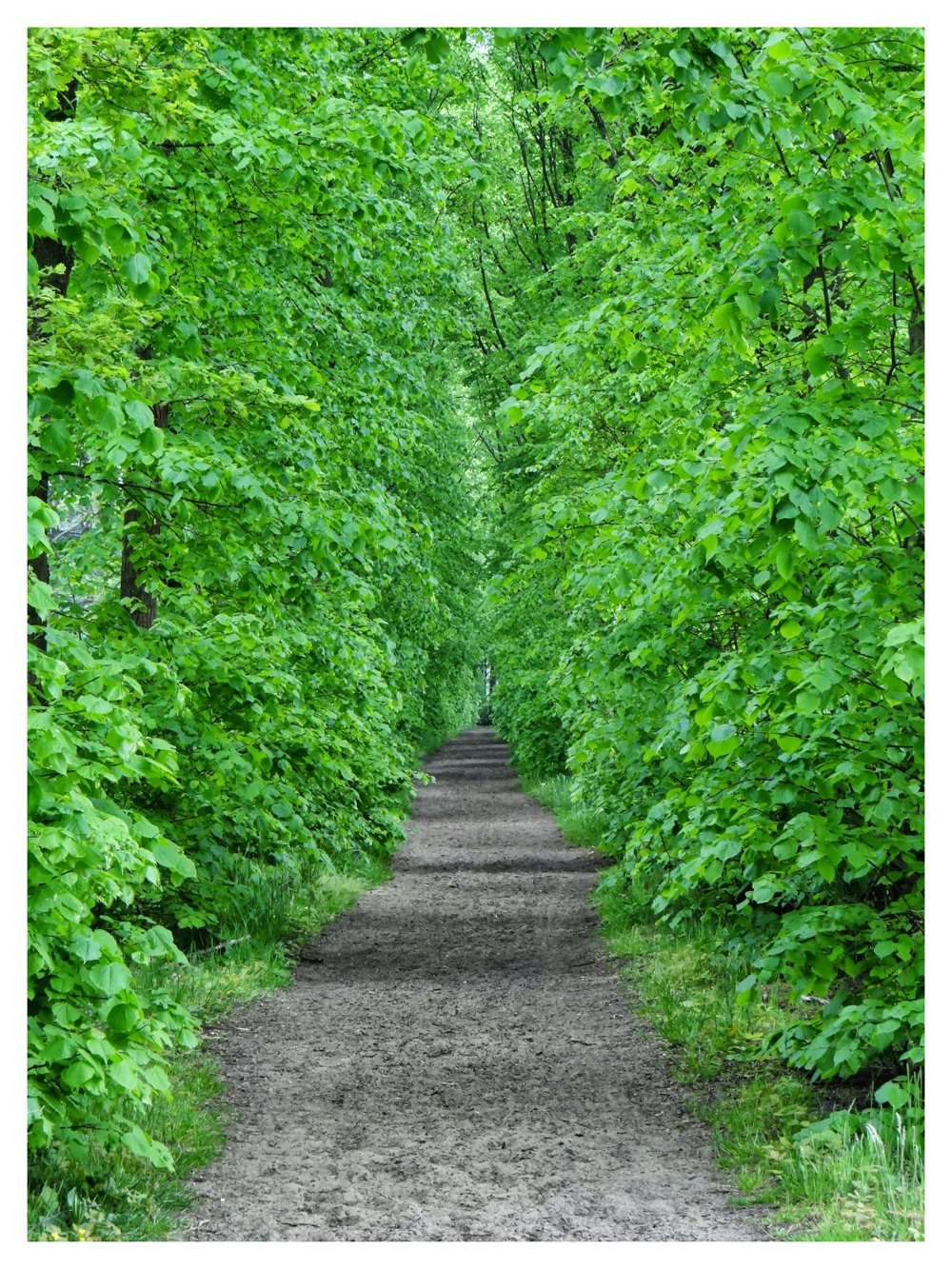
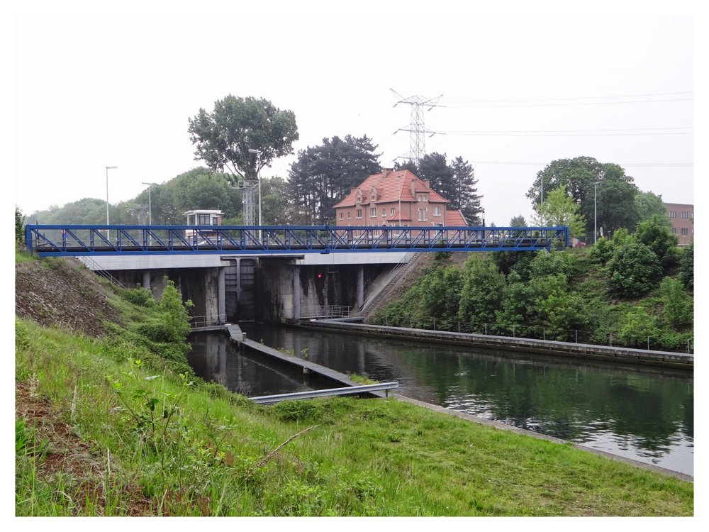
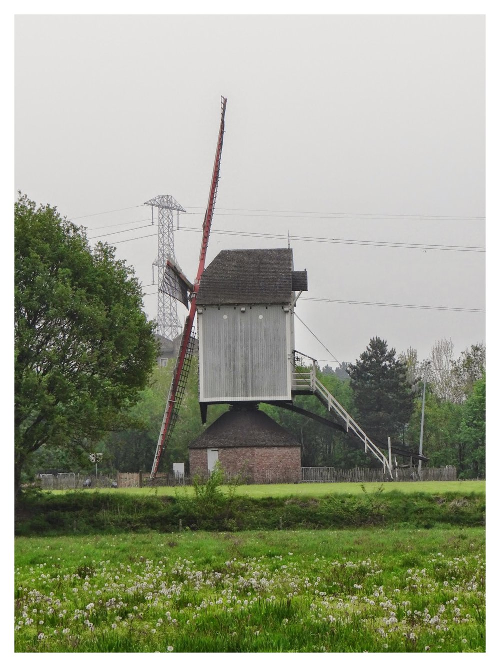
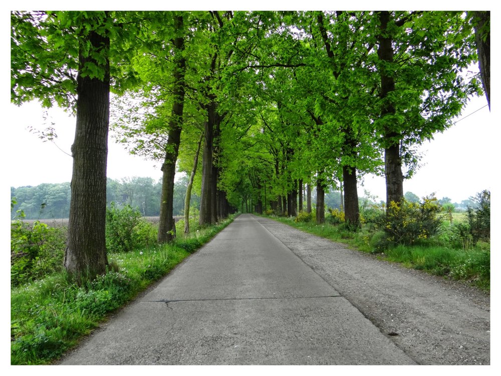
This is a particularly beautiful walk that goes through various, in our opinion, magnificent nature areas. We pass through the 'Teunenberg' domain in Olen, the 'De Beeltjens' and 'Kwarekken' domains in Westerlo, and 'Averbodes bos' in Averbode, and so on. The route regularly follows sections of the GR5.

More photos: https://photos.app.goo.gl/U1HMmgAej6DEvveC6

Enjoy this walk.

Eddy, Rita, and Prinske (wasn't there back then ;o) )

automatic translation

Icon nodes to follow nodes to follow

Icon start route
0 km
Icon deviation route
0.1 km
Icon deviation route
0.4 km
Icon deviation route
0.9 km
Icon deviation route
1.4 km
Icon deviation route
1.8 km
Icon deviation route
3.3 km
Icon deviation route
4 km
Icon deviation route
5.3 km
Icon deviation route
5.8 km
Icon deviation route
6.7 km
Icon deviation route
7.8 km
Icon deviation route
8.5 km
Icon deviation route
9.6 km
Icon deviation route
10.7 km
Icon deviation route
11.8 km
Image node 341
12 km
Image node 2
12.1 km
Image node 382
12.3 km
Image node 3
13.3 km
Icon deviation route
13.8 km
Icon deviation route
14.2 km
Icon deviation route
14.6 km
Icon deviation route
15.1 km
Icon deviation route
16 km
Icon deviation route
16.5 km
Icon deviation route
17 km
Icon deviation route
17.9 km
Icon deviation route
18.8 km
Icon deviation route
20.4 km
Icon deviation route
21.1 km
Icon deviation route
21.3 km
Icon deviation route
21.5 km
Icon deviation route
22.5 km
Icon deviation route
23.1 km
Icon deviation route
23.7 km
Icon deviation route
24.1 km
Icon deviation route
24.4 km
Icon deviation route
24.7 km
Icon deviation route
25.1 km
Image node 57
25.5 km
Image node 175
26.1 km
Image node 298
26.4 km
Image node 60
27.5 km
Image node 246
28.4 km
Image node 246
28.4 km
Icon deviation route
28.6 km
Icon deviation route
28.6 km
Image node 134
28.9 km
Image node 208
29.1 km
Image node TP
29.6 km
Icon deviation route
30 km
Icon deviation route
30.6 km
Icon deviation route
31.8 km
Icon deviation route
32 km
Icon deviation route
32.1 km
Icon stop route
32.3 km
This route does not have any reviews yet. Be the first!
Rate route!

Which POI do you want to show on the map?

Experimental hiking network
Unsigned icon

The route you have chosen runs (partly) along an experimental virtual hiking node network (the blue-coloured nodes and sections on the map).

You must be logged in to plan routes here.

Experimental hiking network
Unsigned icon

The route you have chosen runs (partly) along an experimental virtual hiking node network (the blue-coloured nodes and sections on the map).

These routes are not controlled in the field. Before you start hiking here, take a minute to read what an experimental hiking node network is and what rules you should follow when hiking here.