 Hiking
 Login
Login
 More
More
 EN
EN
 Premium
Windmolenwandeling
9.2 km • Roosdaal
 official route
3.2598 3 4.3/5
route offered by
 Addresse starting point (approximate)
Onze-Lieve-Vrouwkerk, Koning Albertstraat 160, 1760 Onze-Lieve-Vrouw-Lombeek
 signage
The route is fully signposted with nodes.
 Description
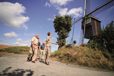
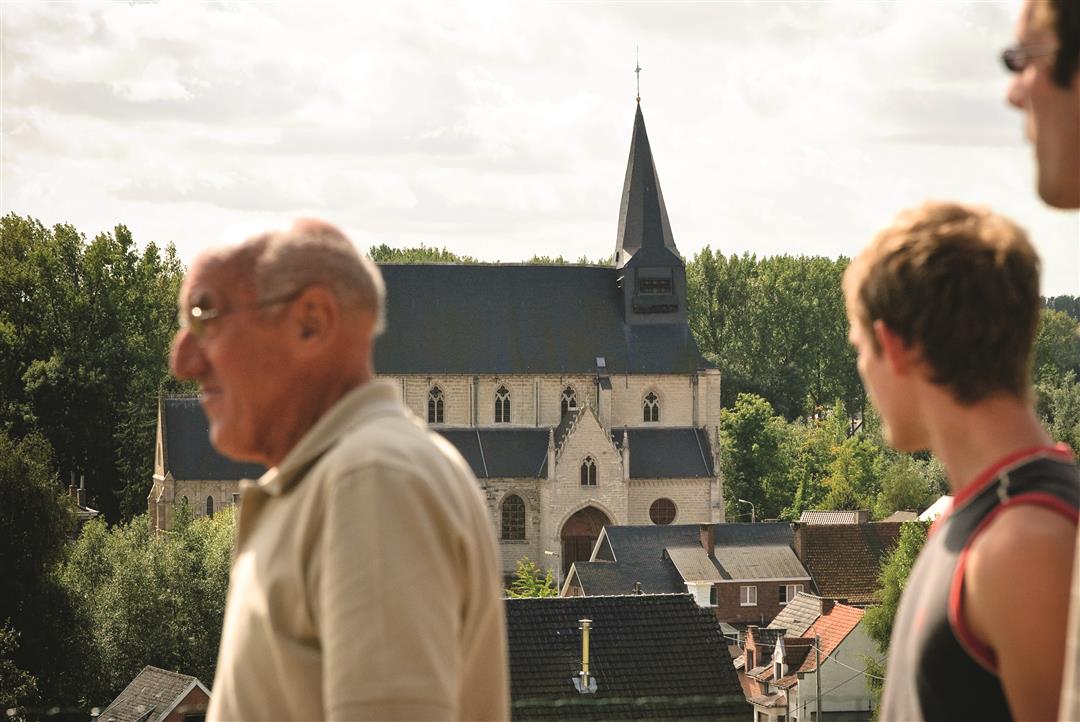
You’ll walk through the beautiful Pajot landscape to the Hertboommolen in Onze-Lieve-Vrouw-Lombeek. This is where Captain Zeppos lived in the 1960s television series of the same name. Incidentally, the mill is the only windmill in the region that’s still capable of grinding grain. Other heritage gems along the way include Rokkenbroch Castle, with its striking leaning tower, and the 13th-century Church of Our Lady. But it’s above all the sweeping view of the Ledeberg, the Dender Valley, and the rolling fields and meadows that steals the show.
automatic translation
 nodes to follow
0 km
0.1 km
0.4 km
0.6 km
1 km
1.9 km
2.5 km
2.7 km
3 km
3.2 km
3.9 km
4.6 km
5.3 km
6.1 km
6.4 km
7.7 km
8.3 km
8.6 km
8.9 km
9.1 km
9.2 km

9.2 km
Sunday, January 18, 2026 by Mia MeVery nice walk. Beautiful panoramic views. Little traffic.
automatic translation
Saturday, March 8, 2025 by Yves BryseBeautiful, quiet hike with lots of views. Did not cross 1 wagon.
automatic translation
Sunday, December 20, 2020 by Carl LapiereBeautiful open walk completely in the fields. only pity of the rain ;-) that was not mentioned in the explanation. For the rest though,enjoy the undulating fields.
automatic translation


 Upgrade to Premium Plus
