
 Hiking
 Login
Login
 More
More
 EN
EN
 Premium
Three Valleys Walk
automatic translation
14.5 km • Malmedy
1.9125 0 0/5

 Addresse starting point (approximate)
Rue Curé Beckmann 6, 4960, BE
 signage
The route is not signposted. Use a GPS device or our app to follow the route through the virtual nodes.
 Description
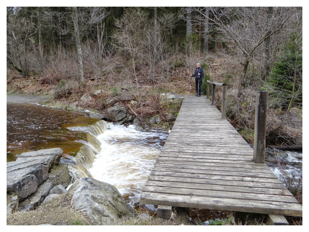
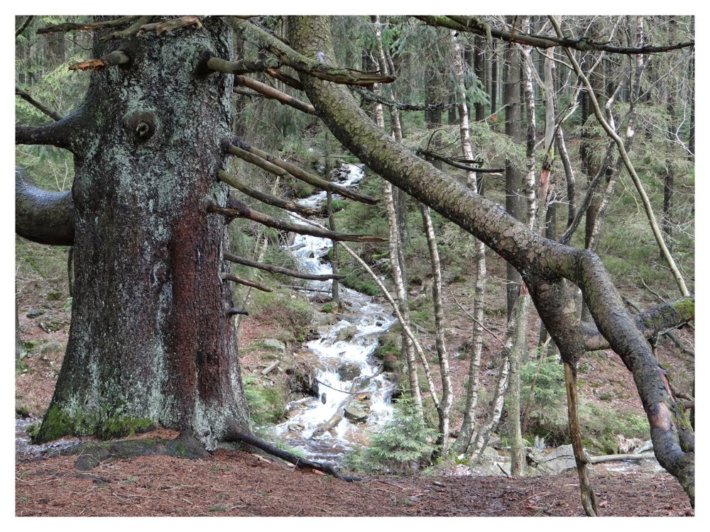
This beautiful three-valley hike is located in the ‘High Fens’. This is also noticeable from the amount of water that flows to the river ‘La Warche’ via small streams and rivulets.
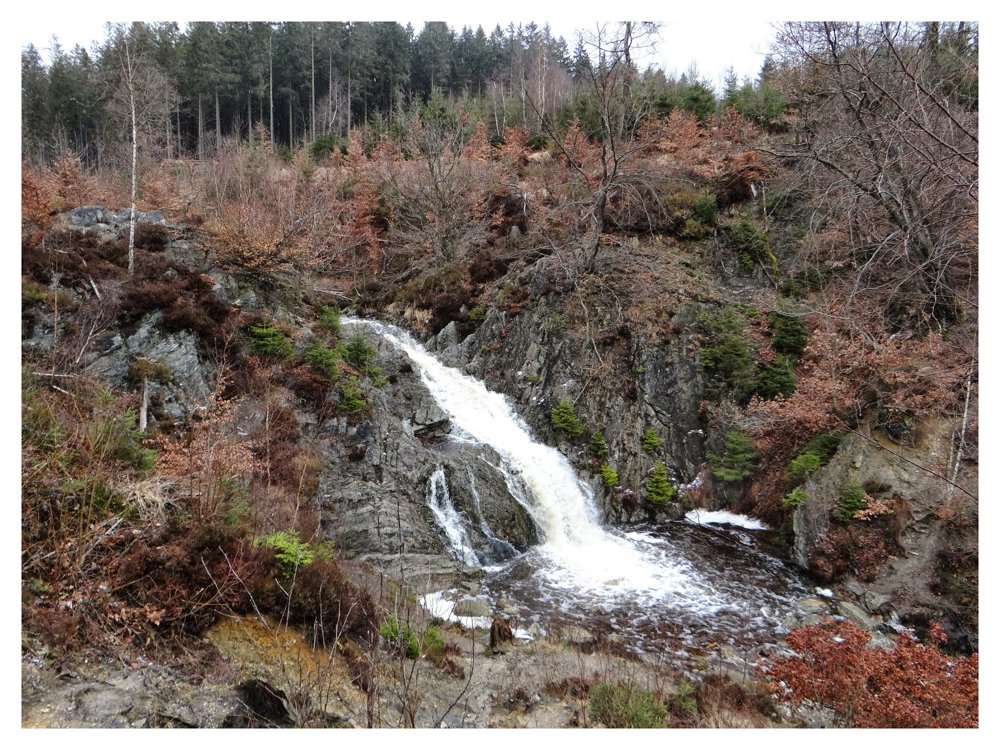
The hike follows ‘La Warche’ to the mouth of the peat stream ‘Ruisseau de Bayehon’ in the river ‘La Warche’. This stream is known for its ‘Cascade de Bayehon’.
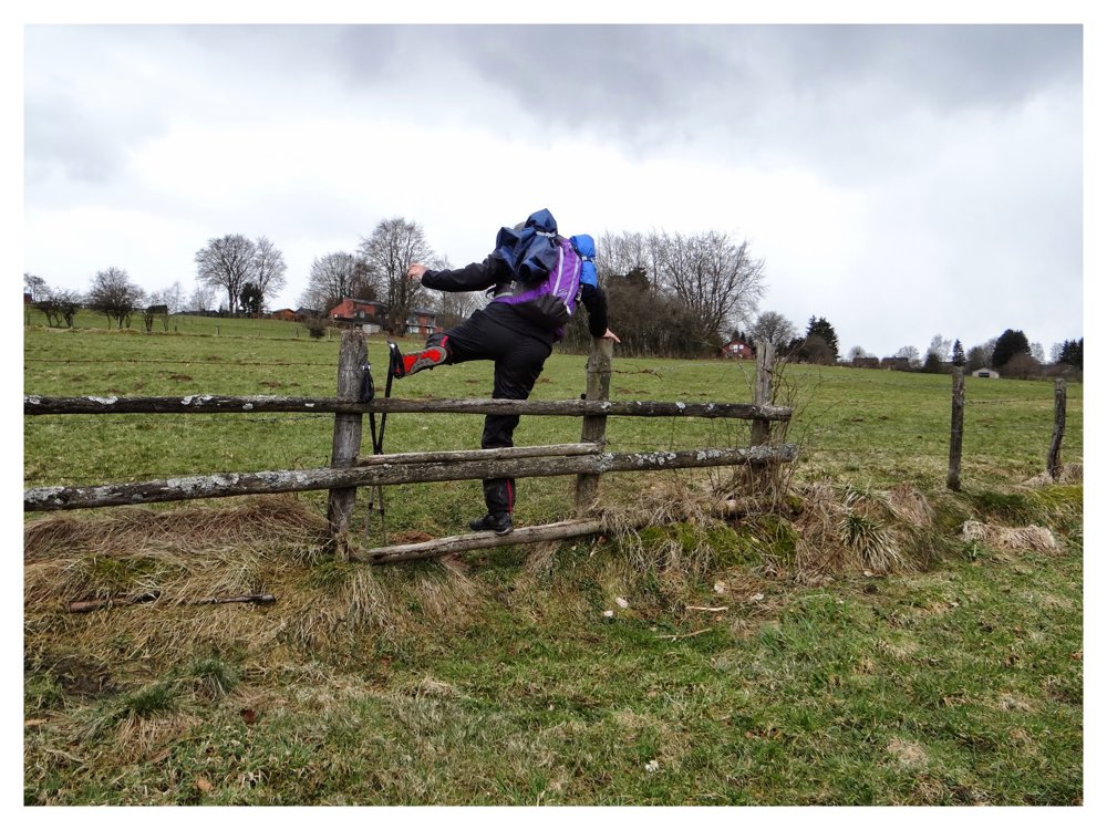
Once past the waterfall, we cross marshy paths to the valley of the stream ‘Pouhon’, which we follow until we ascend back to ‘Xhoffraix’ via enclosed meadows. This last part must really be followed on the line. The path is not very clear, and the enclosures can only be crossed in a few places.
In short, a beautiful nature walk with lots of water, mud, small bridges, narrow paths, and a bit of adventure. We certainly enjoyed it.
More photos: https://photos.app.goo.gl/L2v66MfMYPk6196L8
Eddy, Rita, and Prinske
automatic translation
 nodes to follow
0 km
0.3 km
1 km
1.5 km
2.4 km
4.9 km
5 km
5 km
5.4 km
5.9 km
7 km
7.5 km
7.6 km
7.9 km
9.3 km
9.4 km
10 km
10.3 km
11.1 km
11.1 km
12.7 km

13.1 km
13.8 km
14.1 km
14.3 km
14.5 km



 Upgrade to Premium Plus


