 Hiking
 Login
Login
 More
More
 EN
EN
 Premium
Martelange: Birds Footbridge
automatic translation
10 km • Martelange
5302 1 4.5/5

 Addresse starting point (approximate)
Rue De Radelange 30A, 6630 Martelange, BE
 signage
The route is not signposted. Use a GPS device or our app to follow the route.
 Description
Combination of local markings. A GPS track or a map is necessary to undertake this walk.
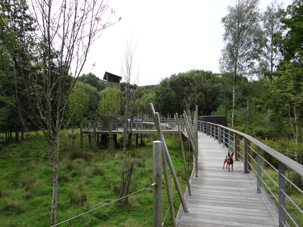
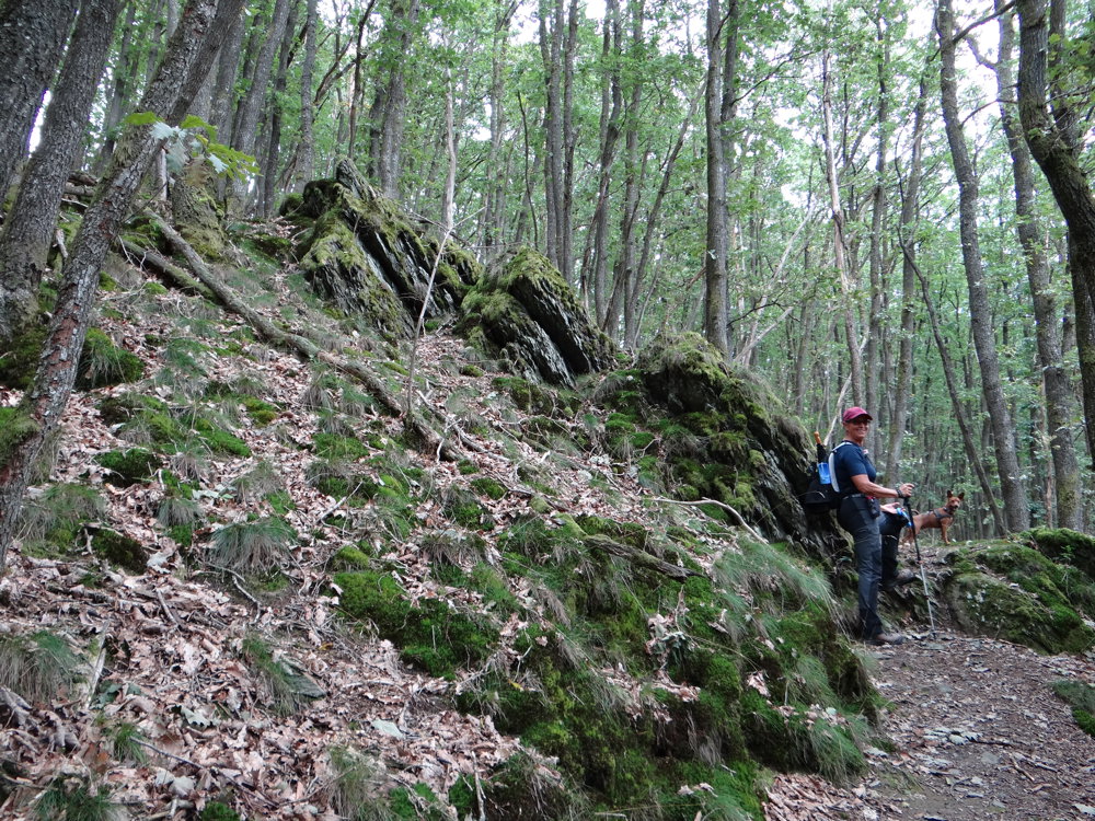
We took the loop clockwise and followed the path that runs past the sports hall to the beautiful Passerelle des Oiseaux to cross it. There, we took Rue de Habay to walk a bit more between the houses and turned right into Rue de l'Ardoisière, where we took a left onto a forest path with a steep climb.
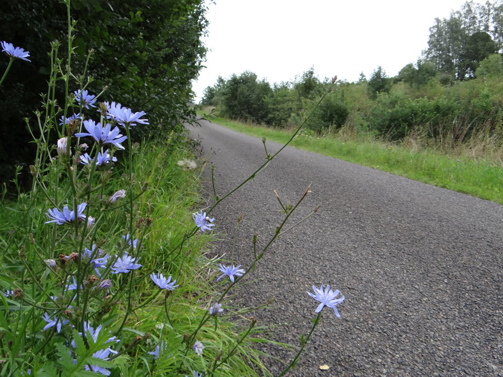
The path led us onto a regional road which we followed for 1.6 km. This can be a downside for those who dislike paved roads. There was some traffic, but it was not notably busy. We left this road behind and turned right into Rue d'Anlier to descend towards Radelange.
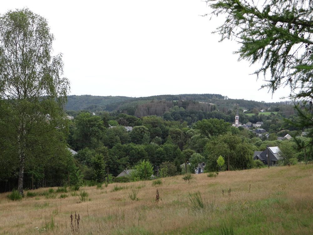
Radelange is a lovely village located on the Sûre with a bench at Église Saint-Remi. Time to cater to the inner self.
More photos: https://photos.app.goo.gl/aR25Q76MKa1DqG6S8
Enjoy this walk,
Eddy, Rita, and Prinske
automatic translation


 Upgrade to Premium Plus
