 Hiking
 Login
Login
 More
More
 EN
EN
 Premium
Diest: Wing Route
automatic translation
10.7 km • Diest
1.5523 1 5/5

 Addresse starting point (approximate)
Hasseltsebaan 247, 3290 Diest, BE
 signage
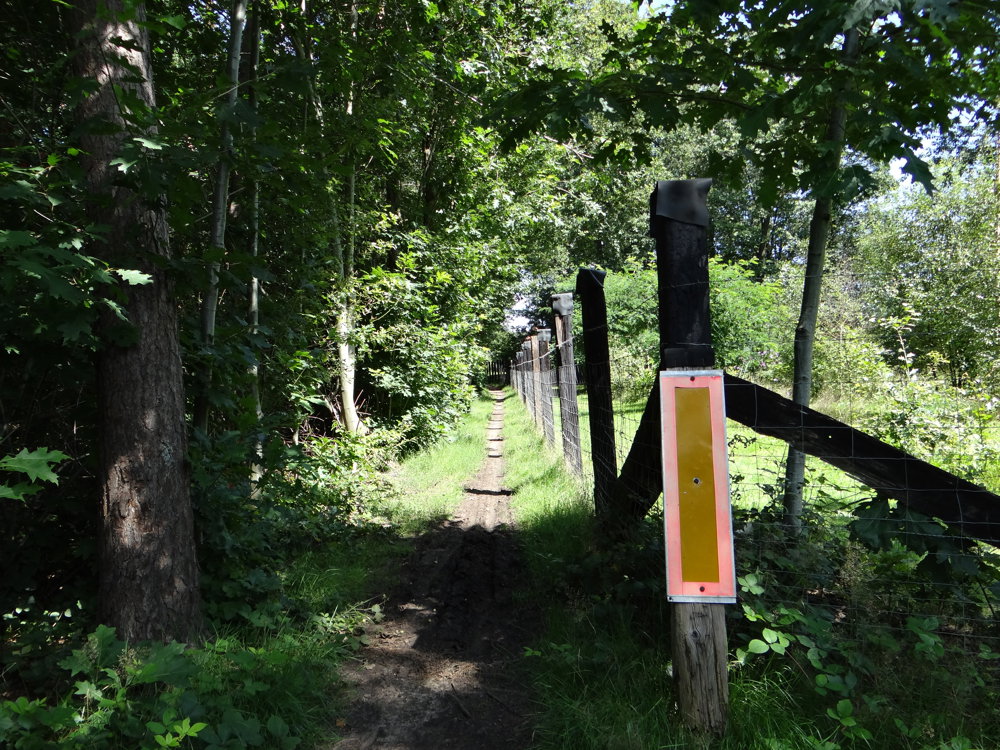
The route is fully signposted with nodes.
 Description
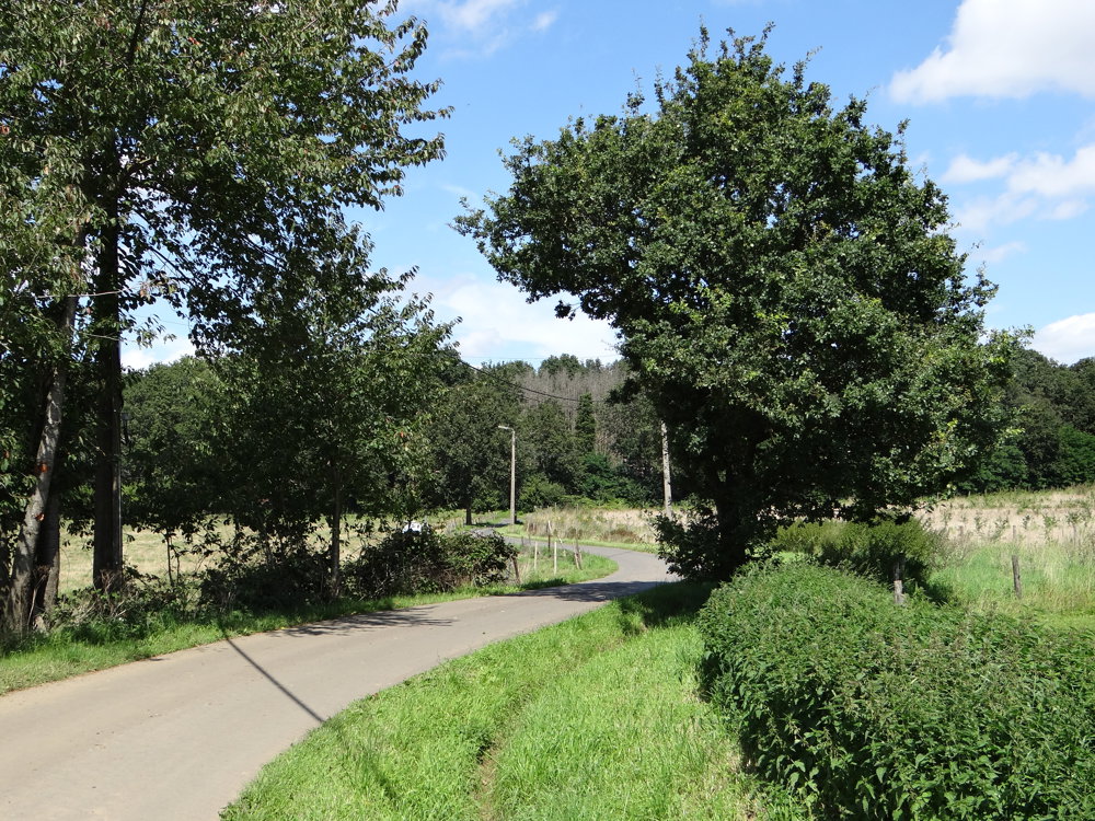
7.5 km unpaved. Paved part is low traffic. Beautiful rural route.
"6 walks with unique heritage and nature elements in the northeast of Diest at the border of Flemish Brabant with Limburg. These walks are mapped out by Landelijke Gilde Vleugt and visit the most beautiful spots of Vleugt, from old ironstone quarry to streams in the marsh."
Source: https://schaffen-vleugt.landelijkegilden.be/vrije-pagina-1-128
More photos: https://photos.app.goo.gl/gKxgUjeXc7T1kyXU6
Enjoy your walk,
Eddy, Rita, and Prins
automatic translation
 nodes to follow
0 km
0.9 km
3.3 km
3.9 km
4.7 km
5.3 km
6.7 km
7.9 km
9.5 km
10.7 km
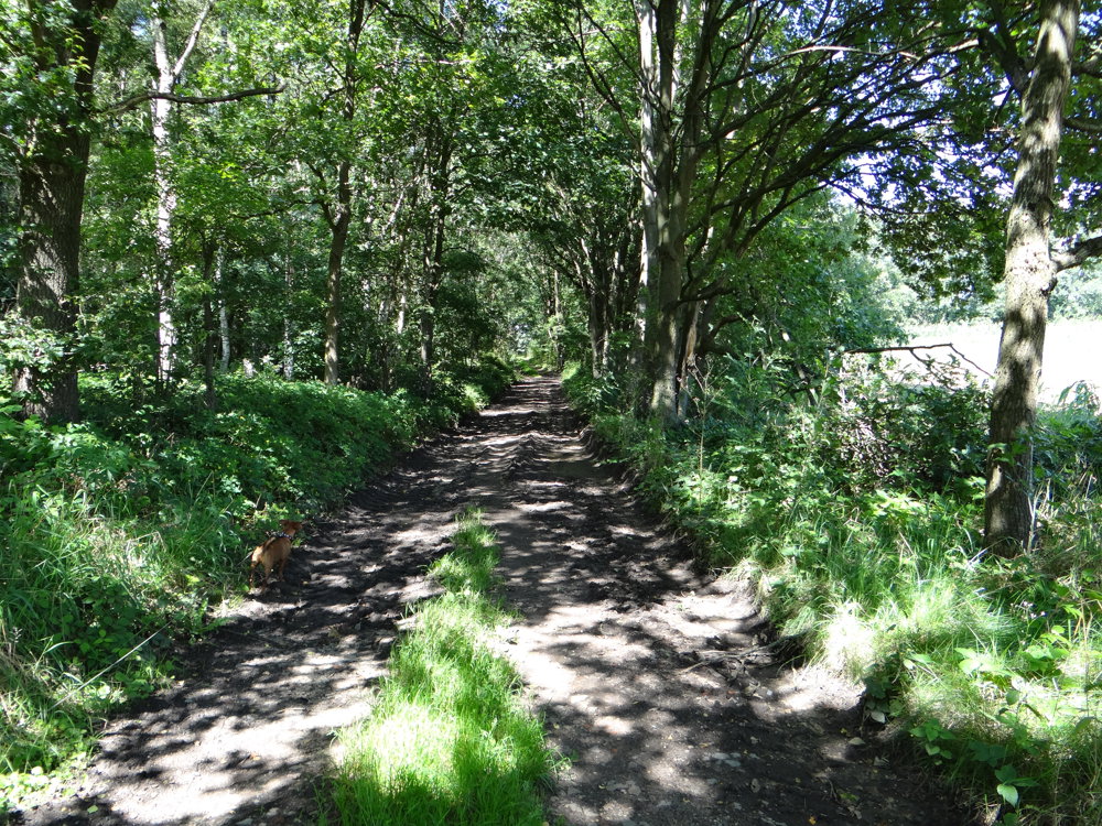
Sunday, October 12, 2025 by Peter WilsVery nice hiking trail, especially at this time of year. It has everything in it, lots of views but also forests and fields, flat but also a tough climb and descent ... autumn provided the beautiful colors of the natural scenery. BEAUTIFUL!!! We enjoyed it. With a nice cafe at the end! Schol!
automatic translation
Thursday, October 23, 2025 by Eddy & RitaThanks for your response. Have a great time hiking!
automatic translation


 Upgrade to Premium Plus
