 Hiking
 Login
Login
 More
More
 EN
EN
 Premium
Oomberg Forests and the Valley of the Cotthembeek
automatic translation
9.9 km • Zottegem
4.48520 4 4.8/5

 Addresse starting point (approximate)
Kerkendries 1, 9620 Zottegem, BE
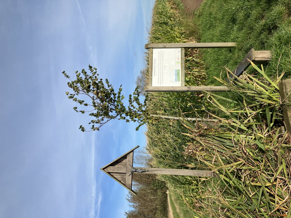
 signage
The route is fully signposted with nodes.
 Description
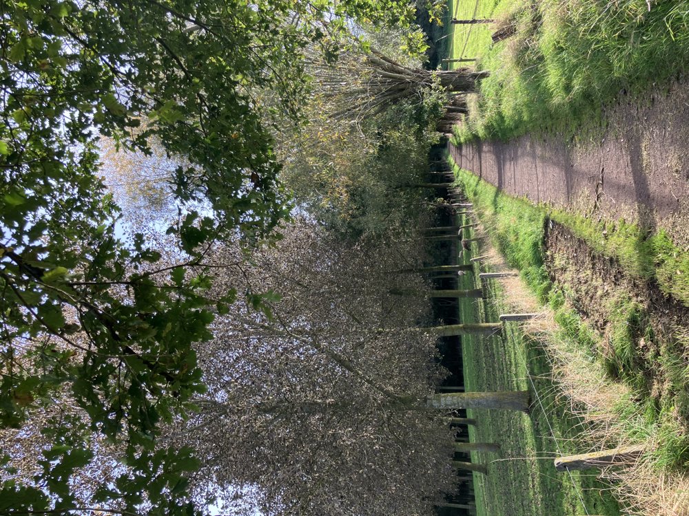
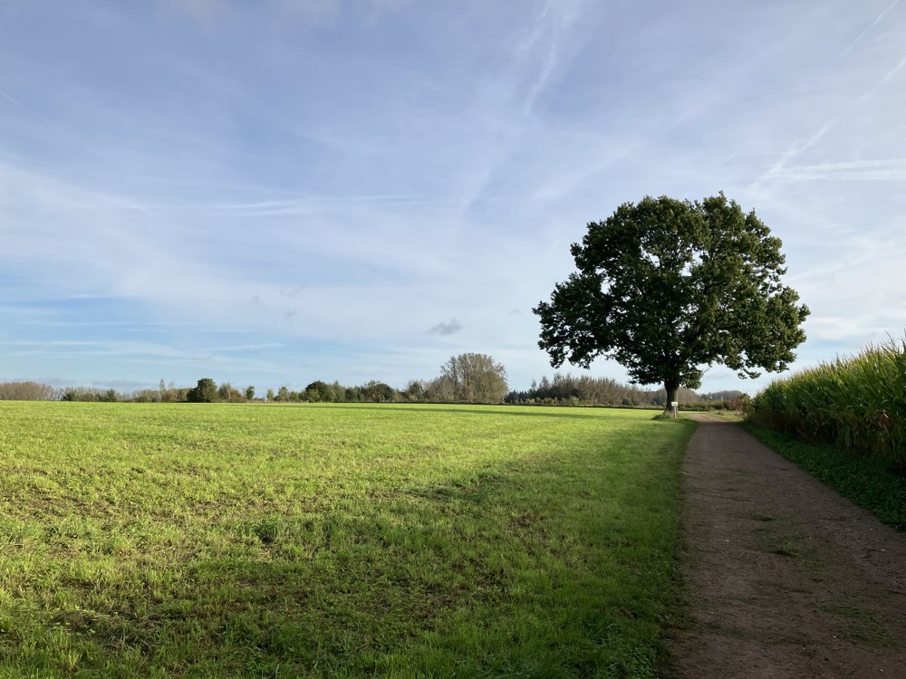
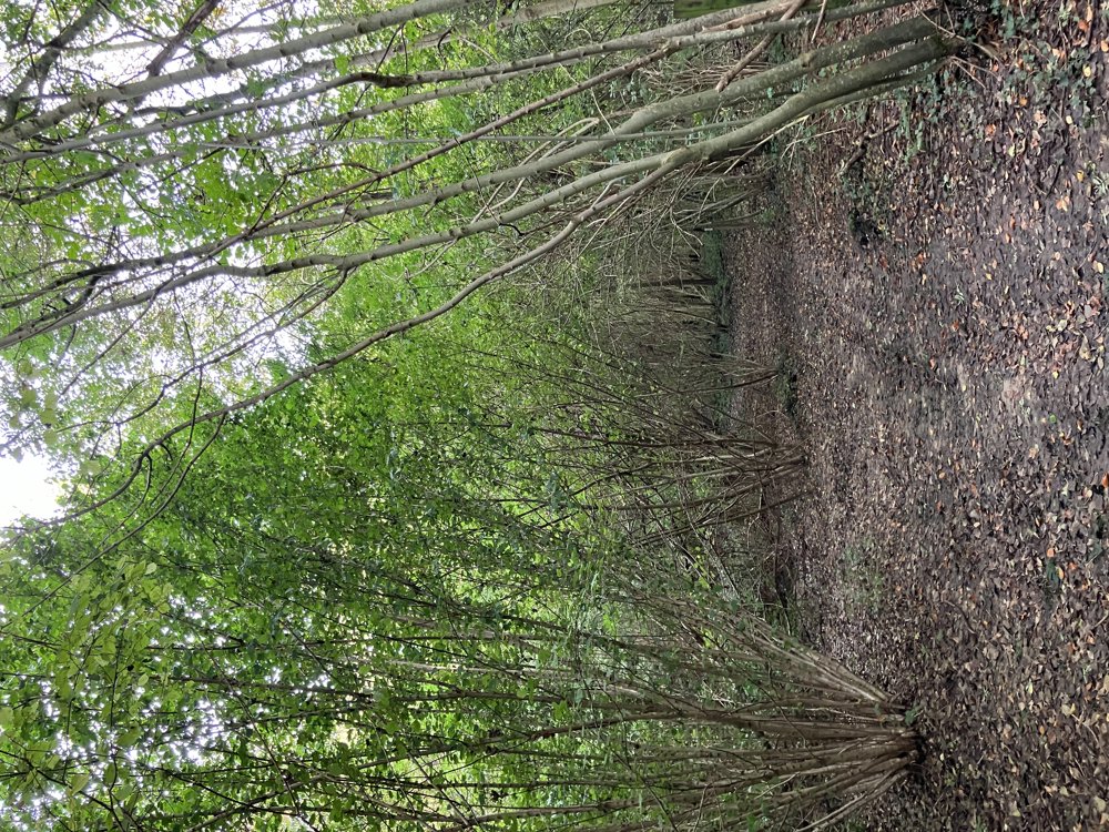
This varied walking loop leads through forests and rural roads in a lesser-known hiking area between Zottegem and Sint-Lievens-Houtem, on the edge of the Flemish Ardennes.
The loop lies between two rather busy roads, yet one usually experiences a remarkable silence. It is best to start at walking junction 11, where there is a small parking lot (5 spots with 2 electric charging stations). You can also easily park along the provincial road Zottegem-Aalst.
Except for a slight incline between junctions 65 and 74, the walk is almost flat. Please take into account some muddy stretches after rain or in wet weather. As always, good footwear is recommended.
automatic translation
 nodes to follow
0 km
1.2 km
1.2 km
1.9 km
2.5 km
3.1 km
5.1 km
5.5 km
7.9 km
9.2 km
9.9 km
Saturday, June 13, 2026 by Els TalloenA beautiful walk through fields and woods. After a rainy spell, sturdy shoes are recommended. Be careful at the end of the walk: there’s no sign on the way to junction 12.
automatic translation
Tuesday, November 11, 2025 by A.A.absolutely beautiful autumn walk
automatic translation
Saturday, August 30, 2025 by Rudy LambrechtsBeautiful walk in a peaceful environment
automatic translation
Monday, January 27, 2025 by José HazewindusSuper beautiful and varied hiking trail through forest and field with beautiful views, sturdy waterproof shoes are recommended.
automatic translation


 Upgrade to Premium Plus
