 Hiking
 Login
Login
 More
More
 EN
EN
 Premium
Kapelletjeswandeling
9.1 km • Bever
 official route
3.2326 2 3.8/5
route offered by
 Addresse starting point (approximate)
Sint-Martinuskerk, Plaats, 1547 Bever
 signage
The route is fully signposted with nodes.
 Description
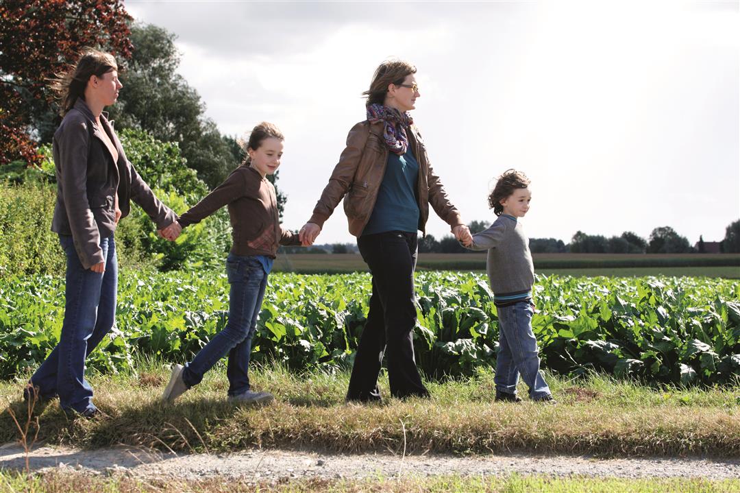
There’s barely one resident per hectare in rural Bever, but the village is dotted with the most beautiful little chapels. Sometimes they’re in the middle of the fields, other times on the edge of an orchard or beneath a solitary linden tree. This walk takes you past the most beautiful ones. Just 200 meters from the starting point, you’ll find the beautiful building housing the geuze distillery and Café Odilon (Location 70), housed in a former brewery dating from 1890.
automatic translation
 nodes to follow
0 km
1.3 km
1.6 km
2.9 km
3.3 km
3.8 km
4.1 km
4.9 km
6.1 km
6.2 km
7.6 km
9.1 km
Sunday, January 19, 2020 by I.C.Maybe I missed them, but unfortunately I did not see the chapel in the picture. For the rest a beautiful and quiet walk, but as the previous user reported: the last part (some 100m) is not harmless: a busy lane with 70km/h driving and no footpath.
automatic translation
Sunday, July 28, 2019 by L.M.Beautiful and varied hike. Too bad there are some stretches in between that go along a slightly busier lane with no room for hikers.
automatic translation


 Upgrade to Premium Plus
