 Hiking
 Login
Login
 More
More
 EN
EN
 Premium
Daalwandeling
5.3 km • Pepingen
 official route
2.3583 3 3.5/5
route offered by
 Addresse starting point (approximate)
Sint-Theodarduskerk, Ring, 1674 Bogaarden (Pepingen)
 signage
The route is fully signposted with nodes.
 Description
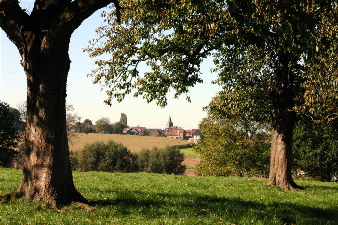
Explore the charming village of Bogaarden, nestled deep in the gentle rolling hills of the Pajottenland. You’ll walk around the Roskambeek valley past meadows with grazing cows, by little chapels, and through open farmland. You’ll always spot an orchard or a farm somewhere, with names like Hoeve Roskam and Hof te Reigersdale. Halfway through your walk, you’ll arrive at the 18th-century, classicist Ten Dael Castle. It’s surrounded by an artificial river landscape, one of the oldest landscaped parks in the country.
automatic translation
 nodes to follow
0 km
0.1 km
0.2 km
1 km
1.7 km
2 km
2.2 km
3.2 km
3.9 km
5.2 km
5.3 km
Sunday, June 30, 2024 by L.J.Nice hike. Well marked. For the moment there are works on the track between Bogaarden and Bellingen.
automatic translation
Sunday, November 15, 2020 by V.W.Overall a nice walk. The part through the fields is the best. Too bad that in the beginning it is mostly walking on the lanes.
automatic translation
Sunday, May 17, 2020 by Marie Jeanne EvenepoelStart and end of the hike is node 347 instead of 247.
automatic translation


 Upgrade to Premium Plus
