
 Hiking
 Login
Login
 More
More
 EN
EN
 Premium
Brillantwandeling
7 km • Pajottegem
 official route
5.30915 4 4.5/5
route offered by

 Addresse starting point (approximate)
Sint-Pauluskerk, Bakkerstraat 1, 1570 Vollezele
 signage
The route is fully signposted with nodes.
 Description
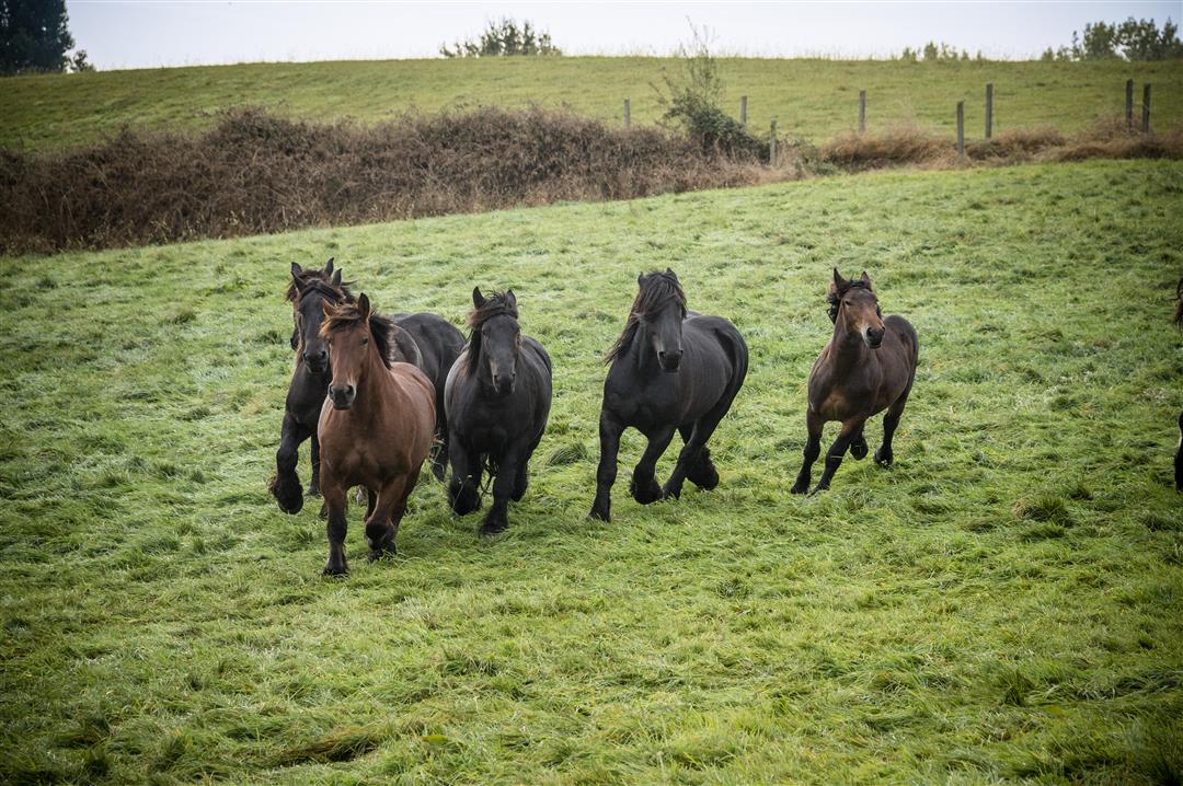
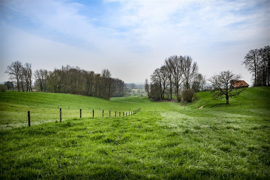
Immerse yourself in the glorious past of Vollezele, the birthplace of the sturdy Brabant draft horse. The Belgian Draft Horse Museum is located 100 meters from your starting point. You’ll pass right by the Stal De Follezelles stud farm, where it all began, admire a bronze statue of Brillant—the progenitor of the breed—and pet the heads of his living descendants in the meadows of the Congoberg. You’ll find complete peace and quiet in the Dender-Mark quiet zone.
automatic translation
 nodes to follow
0 km
0.6 km
1.1 km
2.3 km
2.9 km
3.1 km
4.3 km
5.5 km
6.5 km
7 km
Tuesday, June 23, 2026 by Nadine De WinneOne of the most beautiful routes I've ever done
automatic translation
Saturday, January 11, 2025 by V.M.Junction 623 disappeared. As a result, we got off the route and had to search.
automatic translation
Sunday, August 2, 2020 by V.W.Beautiful hike with lots of variety (through forest, meadow, paved road,...). Beautiful views!
automatic translation
Sunday, March 1, 2020 by rony deroovery nice walk (perfect , super)
automatic translation



 Upgrade to Premium Plus


