 Hiking
 Login
Login
 More
More
 EN
EN
 Premium
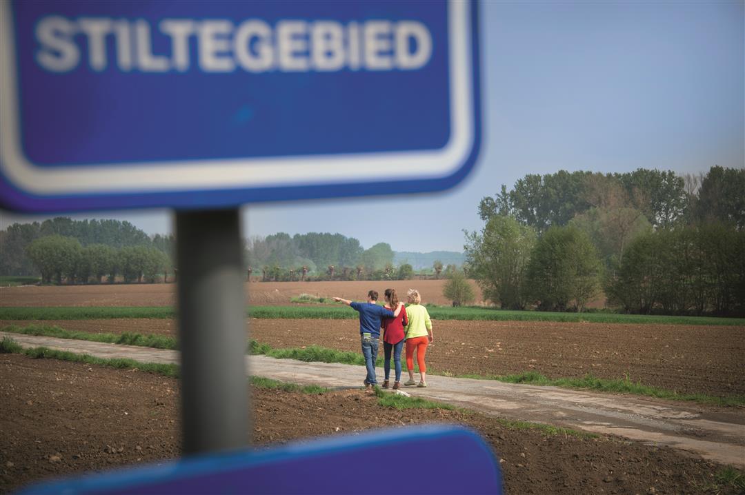
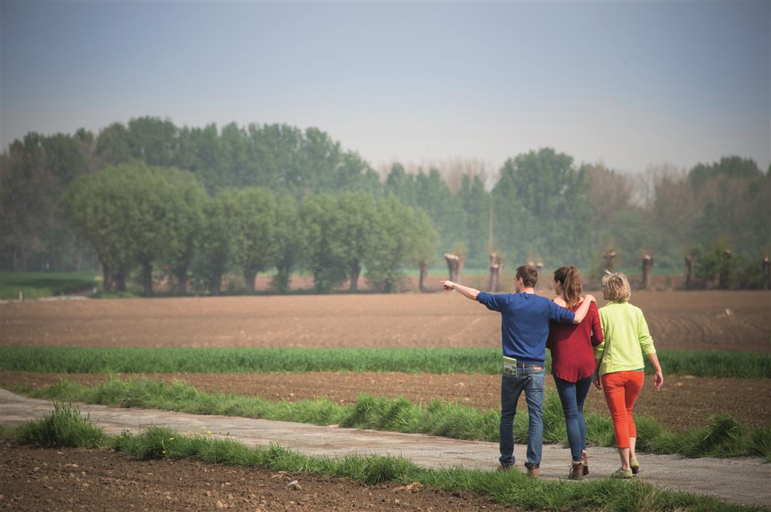
Stiltewandeling Zuid
9.3 km • Pajottegem
 official route
3.3453 3 3.5/5
route offered by
 Addresse starting point (approximate)
Baljuwhuis, Brusselstraat, 1570 Galmaarden
 signage
The route is fully signposted with nodes.
 Description
As the last homes in the center of Galmaarden fall into disuse, all human sounds gradually fade away as well. Welcome to the Dender-Mark quiet zone! Here, you can completely unwind in this quiet, green corner of the Pajottenland. All you can hear is the rustling of the wind, the singing of the birds, and some farming activity in the distance. You’ll briefly cross the provincial border toward Waarbeke.
automatic translation
 nodes to follow
0 km
0.6 km
2.1 km
2.2 km
3.2 km
3.4 km
4.4 km
4.7 km
5.8 km
6.2 km
7.2 km
7.8 km
8.7 km
9.3 km
Wednesday, July 21, 2021 by W.M.I didn't like it... Almost the entire walk on the track. The area itself was beautiful, but with all the cyclists and cars passing by, it didn't give much peace of mind. Ended up changing the hike a bit so we could walk a bit more unpaved and then the beauty of nature comes out a bit more.
automatic translation
Thursday, January 7, 2021 by Hendrik De TantBeautiful hike, very quiet along open coulter with nice views despite the gray weather. There are 104 altimeters. Highly recommended.
automatic translation
Sunday, November 15, 2020 by G.M.Wonderful walk. Enjoyed silence and nature. Some tough climbing moments. Beautiful view over the salt marshes. Highly recommended.
automatic translation


 Upgrade to Premium Plus
