 Hiking
 Login
Login More
More EN
EN Premium
Leuven Highlights long
automatic translation
11.4 km • Leuven
 official route
route offered by
 Addresse starting point (approximate)
Grote Markt, 3000 Leuven
 signage
The route is not signposted. Use a GPS device or our app to follow the route.
 Description
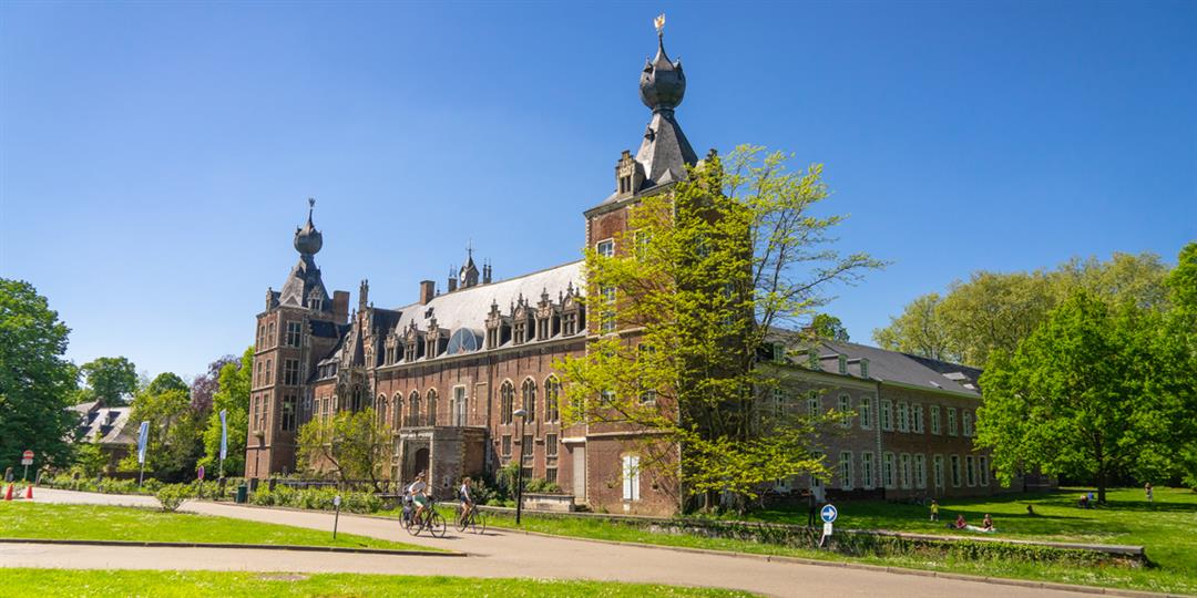
From the Grote Markt with the Town Hall and St. Peter's Church, past M-Museum Leuven and the University Library to the Great Beguinage. This extensive route takes you past Park Abbey and Arenberg Castle.
This walking route is offered by Tourism Flemish Brabant and Visit Leuven.
automatic translation
Monday, July 27, 2020 by M.H.As for the road signs : in part, we were able to follow the indication "variant" on a rectangle white and red.
automatic translation
Saturday, May 30, 2020 by A.J.the bridge from the sport oasis to abbey of park does not open until mid-July.Until then, you have to go around along Pleinstraat, pedestrian bridge over railroad tracks, Hoegaartsestraat and then you can cross another bridge between two houses to get to abbey of park.
automatic translation
Thursday, October 3, 2019 by M.M.At the town of Leuven they are not aware that they offer this hike. Putting up signposts is not allowed, they told us at the tourist office of the city.
automatic translation
Thursday, October 3, 2019 by M.M.Today at the market in Leuven, I searched in vain for the distinct signage mentioned. If you find them, you deserve a prize! Leuven is beautiful, even without arrows!
automatic translation


 Upgrade to Premium Plus
