 Hiking
 Login
Login
 More
More
 EN
EN
 Premium
Slagvijverwandeling
4.4 km • 1750 Lennik
 official route
2.0775 2 2.8/5
route offered by
 Addresse starting point (approximate)
Parking sportsite Jo Baetens, Alfred Algoetstraat 77
 signage
The route is fully signposted with nodes.
 Description
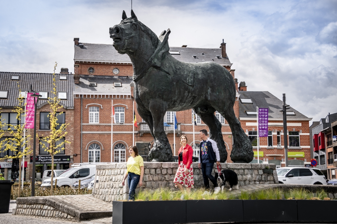
On this hike you stay near the Slagvijver nature reserve and the Slagvijverbeek, with the Slagvijvermolen towards the end. From the Jo Baetens sports site you briefly follow a plank path, can enjoy the peace and quiet of the picnic meadow and the car-free Lange Tramweg, the former streetcar bed. But also connect the village centers of Sint-Martens-Lennik and Sint-Kwintens-Lennik while walking. Be sure not to forget to take a picture with the sturdy "Prince," the statue of the draft horse the on Market Square of Sint-Kwintens, created by Pajot artist Koenraad Tinel.
automatic translation
 nodes to follow
0 km
0.4 km
0.9 km
1.4 km
1.4 km
2.2 km
2.6 km
3 km
3.4 km
3.7 km
3.8 km
4 km
4.4 km


 Upgrade to Premium Plus
