
 Hiking
 Login
Login
 More
More
 EN
EN
 Premium
Champetterwandeling
11.4 km • Pajottegem
 official route
3.81314 0 0/5
11.4 km
0.0 km
0.0 km
route offered by

 Addresse starting point (approximate)
Sint-Pieterkerk, Geraardbergsestraat, 1541 Sint-Pieters-Kapelle
 signage
The route is fully signposted with nodes.
© Lander Loeckx
 Description
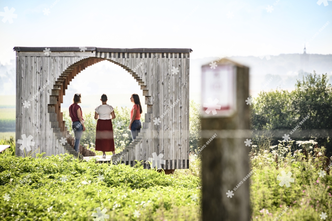
The statue at the church of Sint-Pieters-Kapelle depicts the village’s last town crier: Petrus Ferbiest. He stands on his crier’s stone, just as he used to do to announce municipal news after Sunday Mass. Your walk also takes you past the “Dulle Griet,” where you’ll enjoy a beautiful view of the winding paths and farms, both large and small. It is one of the four landscape cubes in Herne—works of art integrated into the Pajot landscape.
automatic translation
 nodes to follow
0 km

0.1 km
0.1 km
1.4 km
2 km
3.8 km
4.3 km
5.6 km
5.8 km
7.2 km
8.9 km
10.1 km
10.3 km
11.3 km

11.4 km



 Upgrade to Premium Plus


