
 Hiking
 Login
Login
 More
More
 EN
EN
 Premium
Zuunwandeling
5.8 km • Sint-Pieters-Leeuw
 official route
2.9279 1 4.5/5
5.8 km
0.0 km
0.0 km
route offered by

 Addresse starting point (approximate)
Zonnig Leven, Jan Vanderstraetenstraat 198
 signage
The route is not signposted. Use a GPS device or our app to follow the route through the virtual nodes.
© Geert Cromphout
 Description
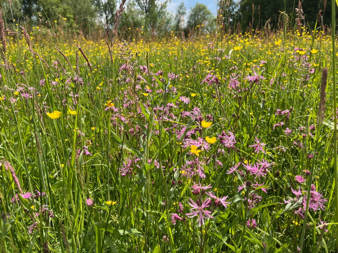
Take a walk through Oude Zuun, a beautiful nature reserve nestled between the straightened Zuunbeek stream and an old meander of the stream. Since 2017, water has once again been flowing through this 600-meter-long meander. You’ll walk through flower-filled hay meadows in a small-scale landscape featuring hawthorn hedges, rows of trees, and a standard-tree orchard. A lovely sunken path leads you back to your starting point.
automatic translation
 nodes to follow
0 km
1.8 km
2.5 km
3.7 km
4.6 km
5.3 km
5.8 km



 Upgrade to Premium Plus


