
 Hiking
 Login
Login
 More
More
 EN
EN
 Premium
Ooghoogtewandeling Neerijse
6.4 km • Huldenberg
 official route
4.55012 2 4.2/5
route offered by

 Addresse starting point (approximate)
Parking, Donkerstraat, 3040 Neerijse
 signage
The route is fully signposted with nodes.
 Description
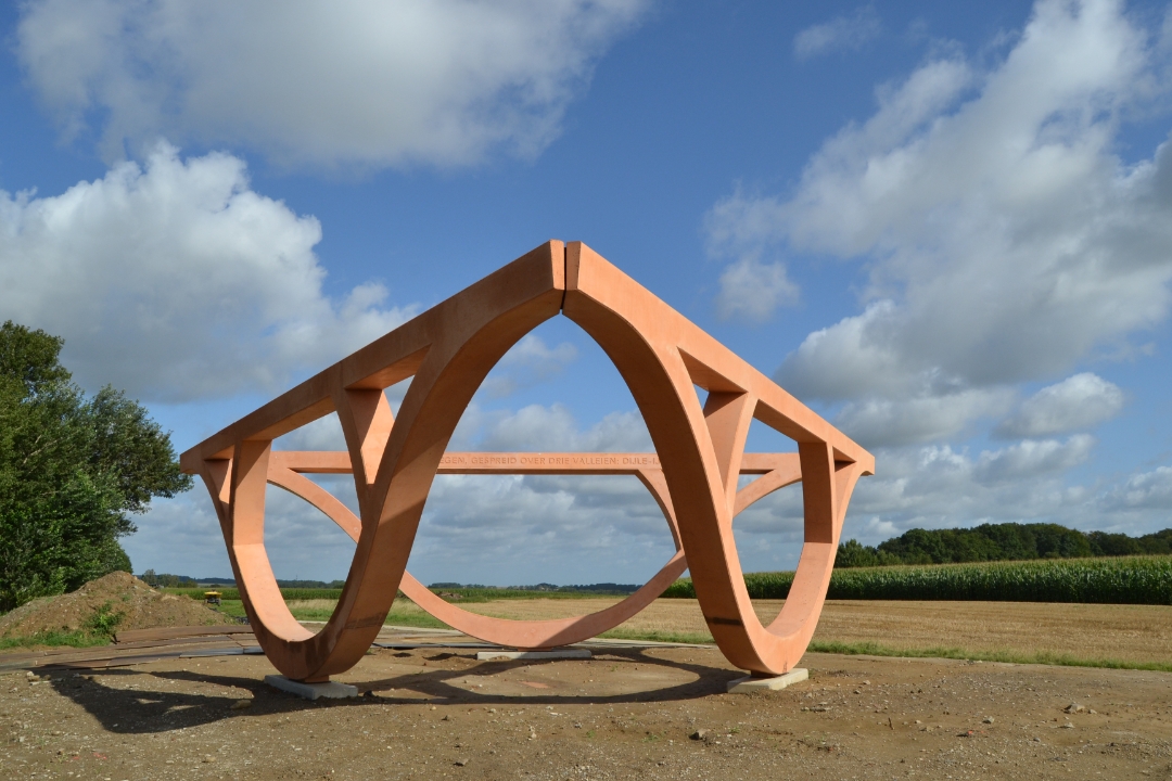
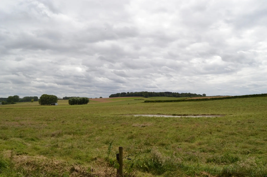
Start in Neerijse for a walk through the open farmland of the Duisburg Plateau. At the highest point, you’ll come to the art installation *Ooghoogte*. The artist collective Observatorium created a striking, three-dimensional logo whose curved shapes reference the undulating kouter landscape and its characteristic sunken roads. You’ll walk back to the starting point via the Raffelberghoeve and the Ganzemanshoeve.
automatic translation
 nodes to follow
0 km
0.9 km
1 km
2.4 km
2.8 km
4 km
4.9 km
5.1 km
5.2 km
6.3 km
6.4 km
Alternative versions
Monday, September 28, 2026 by S.V.A really lovely walk—green rolling hills, sunken roads, and views. Definitely worth doing again—so I’ll have to do it in every season.
automatic translation
Wednesday, February 5, 2025 by Andre JansVery nice little hike , indeed beautiful scenery , well trodden roads , and a cozy brasserie -brewery "The Crown" Highly recommended . Did add some K.P.from 218 to 217-216-215 and 214. Greetings André
automatic translation



 Upgrade to Premium Plus


