 Hiking
 Login
Login More
More EN
EN Premium
From Mountain to Mountain Hike
automatic translation
10.7 km • Tielt-Winge
 official route
2.0022 7 4.9/5
route offered by
 Addresse starting point (approximate)
Onze-Lieve-Vrouwkerk, Bergstraat, 3390 Tielt-Winge
 signage
The route is fully signposted with nodes.
 Description
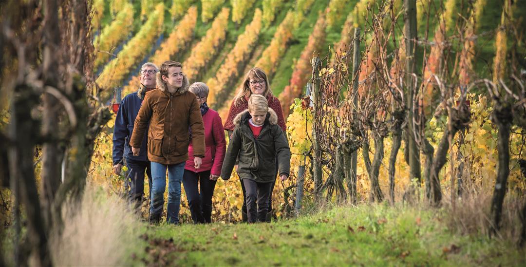
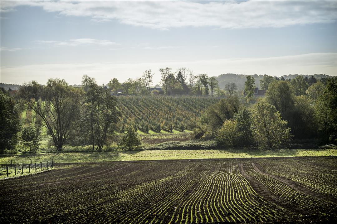
The two main residential centers of Tielt developed on and along a hill and gave birth to two parishes: Sint-Martinus and Onze-Lieve-Vrouw. It is at the church of the latter that the walk starts. From here, you are led to the lower Walen forest, most of which extends into the valley of the Grote Motte. This little river, together with the numerous springs, make the Walenbos a very watery forest, so boots are really recommended most of the year. After all this natural beauty, a special phenomenon awaits you: vines on the southern slopes of the Houwaartseberg.
This hike is offered by Tourism Flemish Brabant.
automatic translation
 nodes to follow
0 km
1.6 km
1.7 km
2.9 km
3 km
3.5 km
3.6 km
4.7 km
5 km
5.2 km
5.7 km
6.3 km
7.1 km
8.4 km
9.2 km
10 km
10.7 km
Sunday, October 23, 2022 by Yasmin VdCVery nice! Quiet, generally passable route. And now that autumn is in the trees, also very beautiful! Recommended for nature lovers with or without faithful four-legged friends. Waterproof shoes, a drink and a cookie for the road are not a luxury! Parking easily accessible and free. All in all a top hike!
automatic translation
Monday, November 1, 2021 by Roger Schoetersnice hike. does require high hiking boots or bones in prolonged rainy weather.
automatic translation
Wednesday, September 15, 2021 by Patrick AertsVery nice hike there is everything a hiker needs in it
automatic translation
Sunday, January 3, 2021 by Jan WaegemansVery nice hike with lots of variety. Right now there really is a lot of mud in the Walenbos!
automatic translation
Wednesday, November 25, 2020 by Guy Van dammeRelaxing and enjoying the hilly and varied 11 km hiking trail, we were guided to the lower Walenbos and then along the vines on the southern slopes of Houwaartse Berg. Lots of mud in the Walenbos and 2 tough climbs provided an adventurous touch. Highly recommended!
automatic translation
Monday, June 15, 2020 by Peter WilsThis is a very nice varied hike, partly flat but also with some tough climbs. The first part you walk through the Walenbos. It can be swampy but we didn't suffer from that after this drought. The paths through the forest are wide and easy to walk on. Leaving the forest, you head towards the vineyard. You hike past some fields and vineyards and then uphill. After a tough climb, you get to the top of the ridge of the mountain where you have a nice view. We descend again and now walk past some fruit orchards. There we end up in a forest again and have to overcome a second calf bite. Once at the top, a descending path brings us back to the main road which we cross. A little later we walk past a nature park, and when we leave it behind us, our destination, the church, looms up from afar. Another small hill and we're back at the church square. The hike guides us through a varied environment and never gets boring. We enjoyed it ! Highly recommended !
automatic translation
Sunday, May 3, 2020 by Willems SonjaWonderful walk.
The nature,the surroundings,...they are a real treat for the eye.
automatic translation


 Upgrade to Premium Plus
