
 Hiking
 Login
Login
 More
More
 EN
EN
 Premium
Along 2 Daun Marshes
automatic translation
5.6 km • Landkreis Vulkaneifel
 official route
1.4497 2 4/5

 Addresse starting point (approximate)
Naturschutzgebiet Dauner Maare, Daun, DE
 signage
The route is not signposted. Use a GPS device or our app to follow the route.
 Description
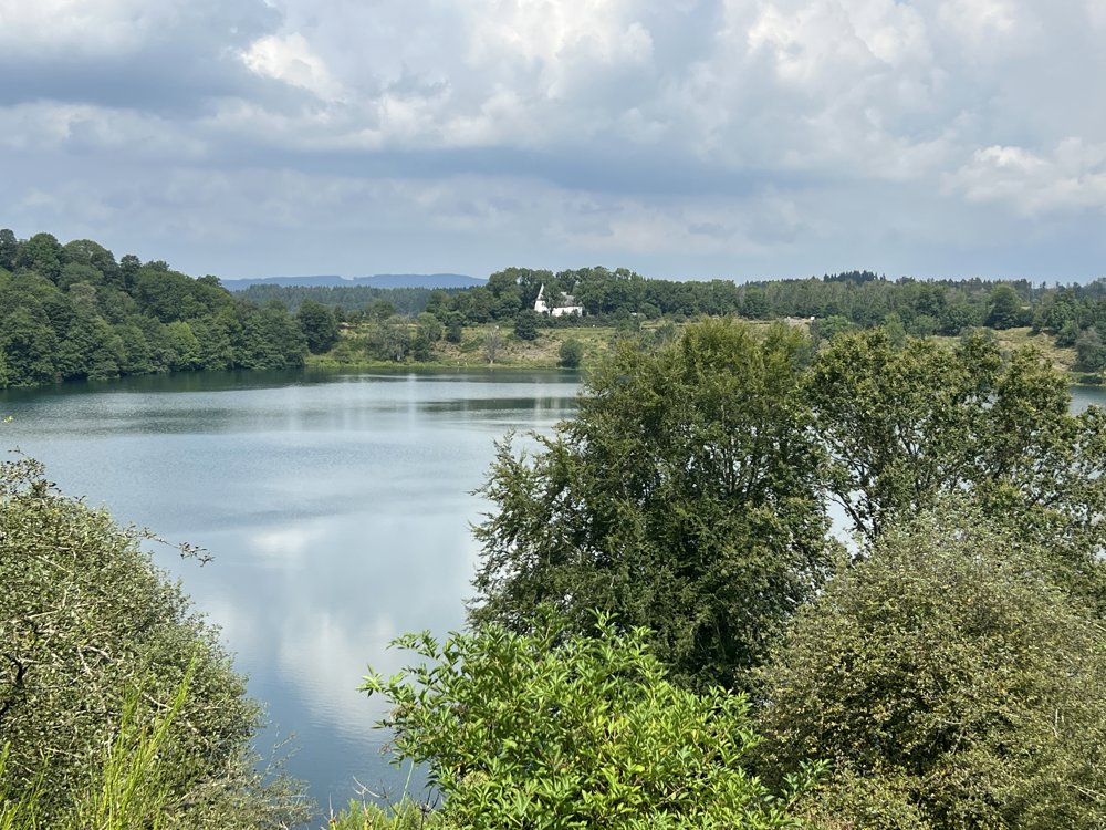
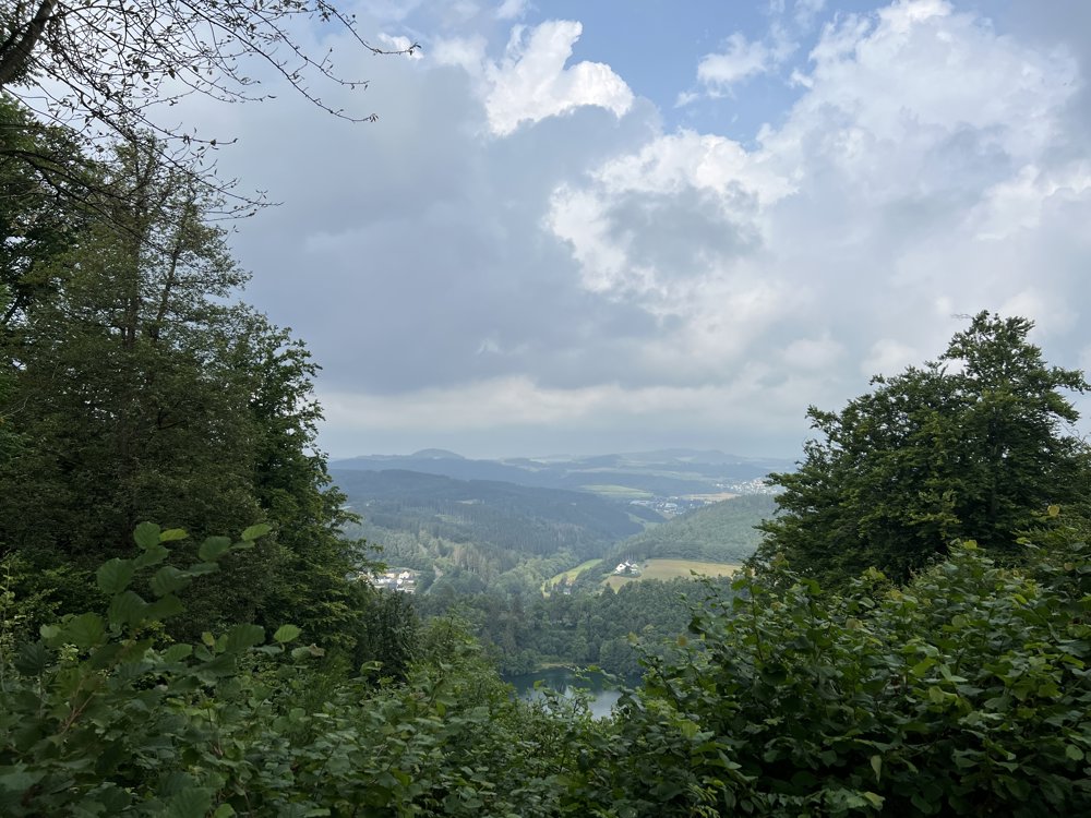
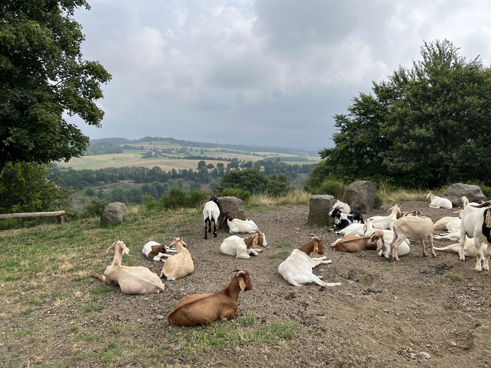
This walk explores 2 of the 3 Dauner Maars in the Volcanic Eifel. You explore the beautiful area between Weinfelder Maar and Gemündener Maar. These craters are now filled with water and form a beautiful setting. The last volcanic eruptions in this area date back more than 10,000 years. The Eifel is located above a still active 'hotspot', causing the surface to rise by 2 mm annually.
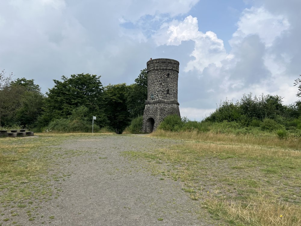
At the Gemündener Maar, you have the option to take a drink break. After that, there is still a fairly steep climb back to the Adolf Dronke Tower on the 561-meter-high Mäuseberg, which was built in 1902. Here, you have a beautiful panoramic view of the surroundings.
automatic translation
Tuesday, June 16, 2026 by Wilma VerschutI had a wonderful hike using this route as a guide; I tweaked it a bit to add a few more kilometers, but what a beautiful place!!
automatic translation
Saturday, September 7, 2024 by A.A. It's in Germany and it doesn't say so and that's irritating.
automatic translation



 Upgrade to Premium Plus


