
 Hiking
 Login
Login
 More
More
 EN
EN
 Premium
Roeselbergwandeling
6.9 km • Tielt-Winge
 official route
4.5594 8 3.9/5
route offered by

 Addresse starting point (approximate)
Roeselbergkapel, Stokskesstraat, 3390 Houwaart (Tielt-Winge)
 signage
The route is fully signposted with nodes.
 Description
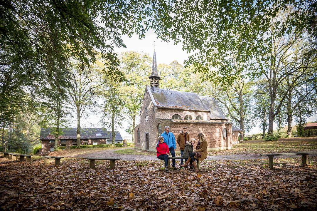
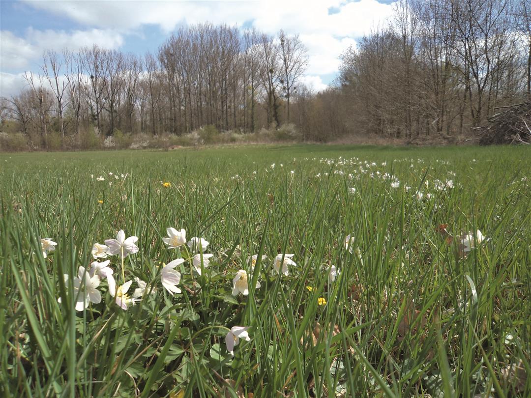
The 17th-century Roeselberg Chapel is perhaps the oldest place of pilgrimage in the Hageland region. From here, you can walk into the enchanting Walenbos. This forest is a true natural treasure and is home to one of the largest alder swamp forests in Flanders. It’s a hiker’s paradise with small trails crisscrossing the entire forest. Don’t forget your boots, because the Walenbos is a very damp forest. From the edge of the forest, you can look out over the village of Houwaart.
automatic translation
 nodes to follow
0 km
0.2 km
1.2 km
2.3 km
3.4 km
3.5 km
4.5 km
5.7 km
5.8 km
5.8 km
6.9 km
Tuesday, September 2, 2025 by Marc Van Passelnice walk, no crowds
automatic translation
Sunday, December 29, 2024 by H.W.Very muddy but super fun. lots of puddles you have to go through.
Adventurous you could say.
automatic translation
Saturday, November 9, 2024 by J.S.Beautiful hike but shoes that can withstand a lot of mud are essential
automatic translation
Friday, February 19, 2021 by M.V.Beautiful forest walk, though lots of mud
automatic translation
Thursday, November 12, 2020 by Kurt HaineWalen forest, hollow roads, open fields and a few squat bites. Fine hike.
automatic translation
Sunday, November 8, 2020 by H.H.Searching for start signpost node 233. Rest spotless trail. Beautiful and peaceful hike.
automatic translation
Sunday, October 11, 2020 by Luc WullaertNice walk through the forest. After the forest some nice views. Towards the end though some asphalt/concrete
automatic translation
Thursday, August 6, 2020 by A.B.Beautiful walk in the woods!
automatic translation



 Upgrade to Premium Plus


