 Hiking
 Login
Login More
More EN
EN Premium
Dutselhoek hike
automatic translation
7 km • Holsbeek
 official route
route offered by
 Addresse starting point (approximate)
Sint-Mauruskerk, Gebr. Van Tiltstraat 1, 3220 Holsbeek
 signage
The route is fully signposted with nodes.
 Description
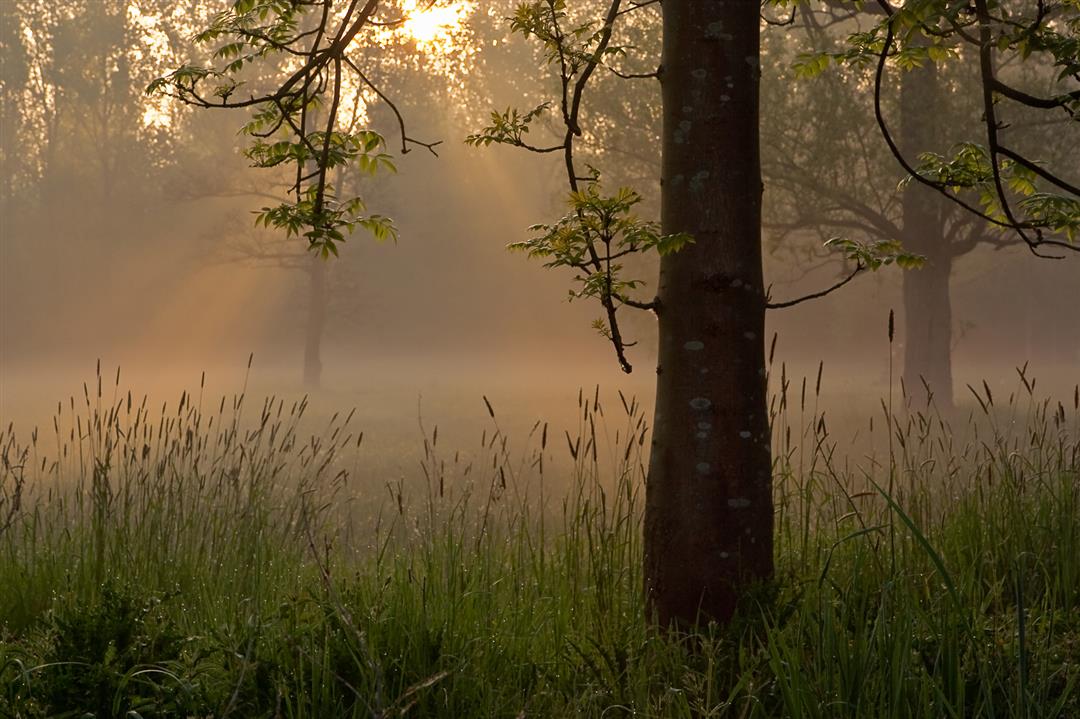
This walk, via mostly unpaved roads, introduces you to Holsbeek's most beautiful green spots. From the center, the hike leads you via small, slow paths to the core of the Dunbergbroek, a humid trouser area. From this densely vegetated nature reserve, the walk climbs towards the Chartreuzenbos where you have a beautiful panoramic view of the Dunbergbroek and the Winge valley.
This hike is offered by Tourism Flemish Brabant.
automatic translation
 nodes to follow
0 km
0.2 km
0.2 km
1.1 km
1.3 km
2.2 km
2.6 km
4 km
4.6 km
4.8 km
5.1 km
6.8 km
6.9 km
7.1 km
Sunday, April 16, 2023 by P.B.Beautiful walk. Highly recommended especially in early spring when the wood anemones are in bloom in the Dunbergbroek. After rainy days it is best to provide hiking shoes, because in the pants it can be very muddy.
automatic translation
Sunday, December 29, 2019 by J.C.Very nice hiking trail along dense pants followed by a tough climb to the Chartreuse towards the end. Unfortunately not able to spot many birds but this had more to do with the cold winter weather on a late December afternoon. Although it had not rained heavily the previous week, the road along the Dunbergbroek was very boggy and soggy: appropriate footwear is therefore recommended.
automatic translation


 Upgrade to Premium Plus
