 Hiking
 Login
Login
 More
More
 EN
EN
 Premium
Ringmuswandeling
16.6 km • Pajottegem
 official route
1.2942 0 0/5
route offered by
 Addresse starting point (approximate)
GC Baljuwhuis, Marktplein, 1570 Pajottegem
 signage
The route is fully signposted with nodes.
 Description
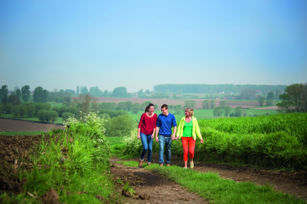
This walk takes you through the rolling natural landscape of the Mark Valley. Starting at the Baljuwhuis in Galmaarden, you’ll walk out of town, past the Gemelingenmolen and along the railroad tracks toward the Mark Valley. Take a break on a bench and enjoy the peace and quiet of this quiet area, on the border with East Flanders. Through the hamlet of Sint-Paulus, you’ll walk along the edge of the dense Kluysbos forest toward the Bosberg. The beautiful square farmhouses, little chapels, and views are all included for free.
automatic translation
 nodes to follow
0 km
0.7 km
1 km
1.2 km
2 km
2.5 km
2.5 km
3.3 km
3.9 km
5.3 km
5.3 km
5.3 km
5.8 km
7.4 km
9.9 km
10 km
10.7 km
11.2 km
11.5 km
11.8 km
12 km
13.1 km
13.5 km
14.5 km
15.1 km
16 km
16.6 km


 Upgrade to Premium Plus
