 Hiking
 Login
Login
 More
More
 EN
EN
 Premium
Through forest, field, heath and lakes from "Geshaa"
automatic translation
15.4 km • Putte
2.0203 3 2.3/5

 Addresse starting point (approximate)
Kerkhoflei 1, 2580 Putte, BE
 signage
The route is not signposted. Use a GPS device or our app to follow the route.
 Description
Park at the church of Grasheide ("Geshaa" = local dialect).
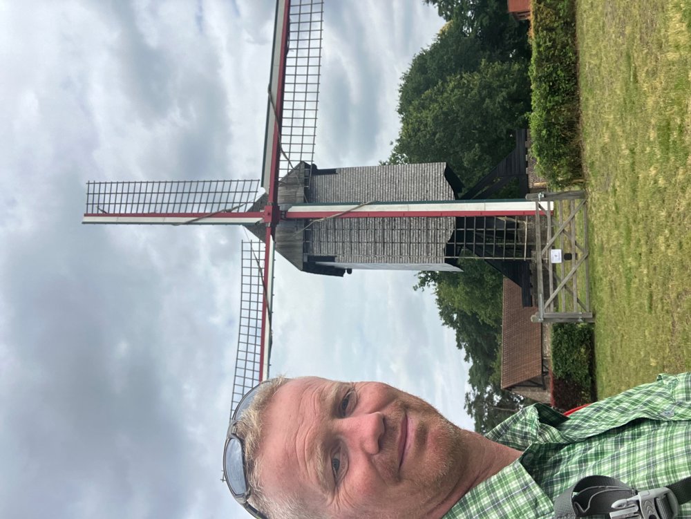
You immediately leave the village center through unpaved forest and field paths. Via low-traffic roads, you move towards Keerbergen, where you pass the Heidemolen. Through the wooded area and the Pommelsven, a remnant of marshland where the rare Bell Gentian grows, you look for stately villas near the lake. From the terrace of "Hostellerie De Witte Meren" or the Gault Millau noted restaurant "The Lake" (no dogs!), you have a beautiful view.
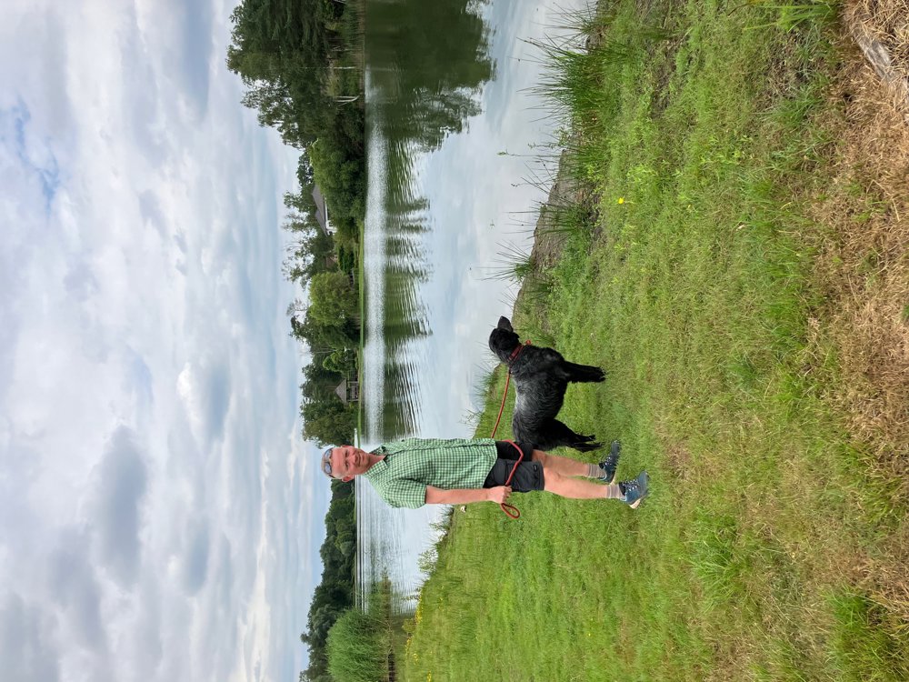
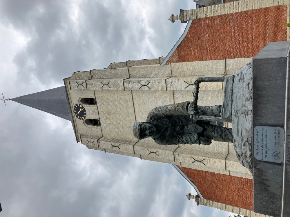
The unpaved Schaleken quickly leads you to Schriek, where you can choose a cozy terrace after viewing the artwork "The Asparagus Puller" in front of the church. You walk past a few farms (blueberries, asparagus, and chicory) and a Saint Anthony's Chapel before re-entering the territory of Grasheide. At the beautiful pond of the fishing club 't Ven, you can take one last terrace.
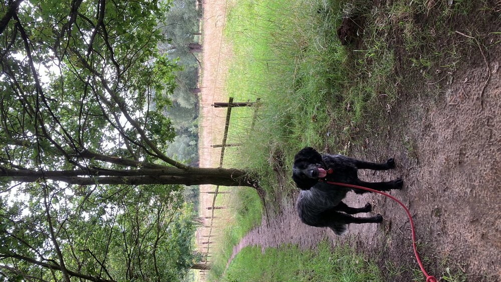
High walking shoes in wet weather. Dogs on a leash.
automatic translation
Sunday, April 19, 2026 by Sigrid Van CraenGeshaa, my home...
automatic translation
Monday, December 8, 2025 by Walter LeysenStill beautiful parts here and there, but the street Schaleken is completely closed (private road). Had to detour quite a bit.
automatic translation
Saturday, September 13, 2025 by Philippe SchotsBig disappointment: mostly through residential areas and paved streets, hardly any nature. Only last km's some fields. Description totally wrong.
automatic translation
Sunday, October 19, 2025 by W.L.The intention was to map out a walk with a fair amount of green in a rather densely built-up area without nodes, with an eye for the smaller pieces of nature and beauty of (some) houses. Of course this is mostly paved. Still, 5.8km of the route is unpaved (more than a third).
automatic translation


 Upgrade to Premium Plus
