 Hiking
 Login
Login
 More
More
 EN
EN
 Premium
Horstwandeling
9.3 km • Holsbeek
 official route
4.0258 2 4.8/5
route offered by
 Addresse starting point (approximate)
Kasteel van Horst, Horststraat 28, 3220 Sint-Pieters-Rode (Holsbeek)
 signage
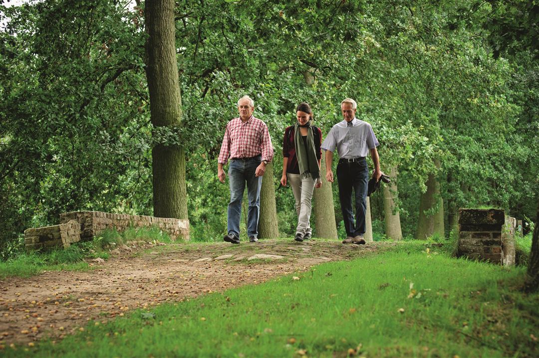
The route is fully signposted with nodes.
 Description
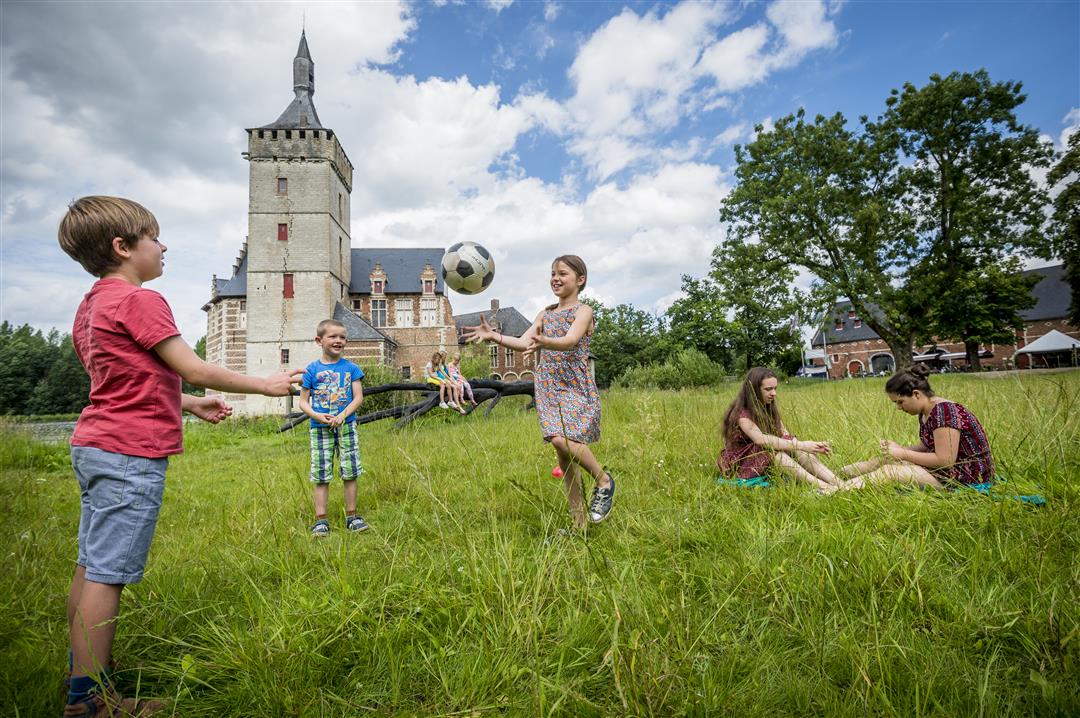
Horst Castle is the starting point for a lovely walk through the fields and natural surroundings of Sint-Pieters-Rode. The history of this moated castle dates back to the 13th century. Even the Red Knight once lived here—at least according to Willy Vandersteen’s comic book series. The carriage house that Lady Maria-Anna van den Tympel had built in the 17th century is now a visitor center and a cozy regional restaurant.
automatic translation
 nodes to follow
0 km
0.1 km
0.8 km
1.3 km
1.7 km
2.1 km
2.8 km
3.8 km
4.5 km
6 km
6.6 km
7.3 km
8.2 km
8.9 km
9.3 km
Saturday, September 24, 2022 by Yasmin VdCVery nice hike! Easy parking, almost exclusively nature, forest and fields. Very quiet, everything very well marked. Really enjoyed it with our four-legged friends! Good footwear necessary in wet periods. Highly recommended! But not all go there ;)
automatic translation
Thursday, May 2, 2019 by T.D.rolling hills and hollow roads.
automatic translation


 Upgrade to Premium Plus
