
 Hiking
 Login
Login
 More
More
 EN
EN
 Premium
Wijndrieswandeling
8.7 km • Bekkevoort
 official route
2.9252 3 3.7/5
route offered by

 Addresse starting point (approximate)
Sint-Quirinuskerk, Processiestraat, 3461 Wersbeek (Bekkevoort)
 signage
The route is fully signposted with nodes.
 Description
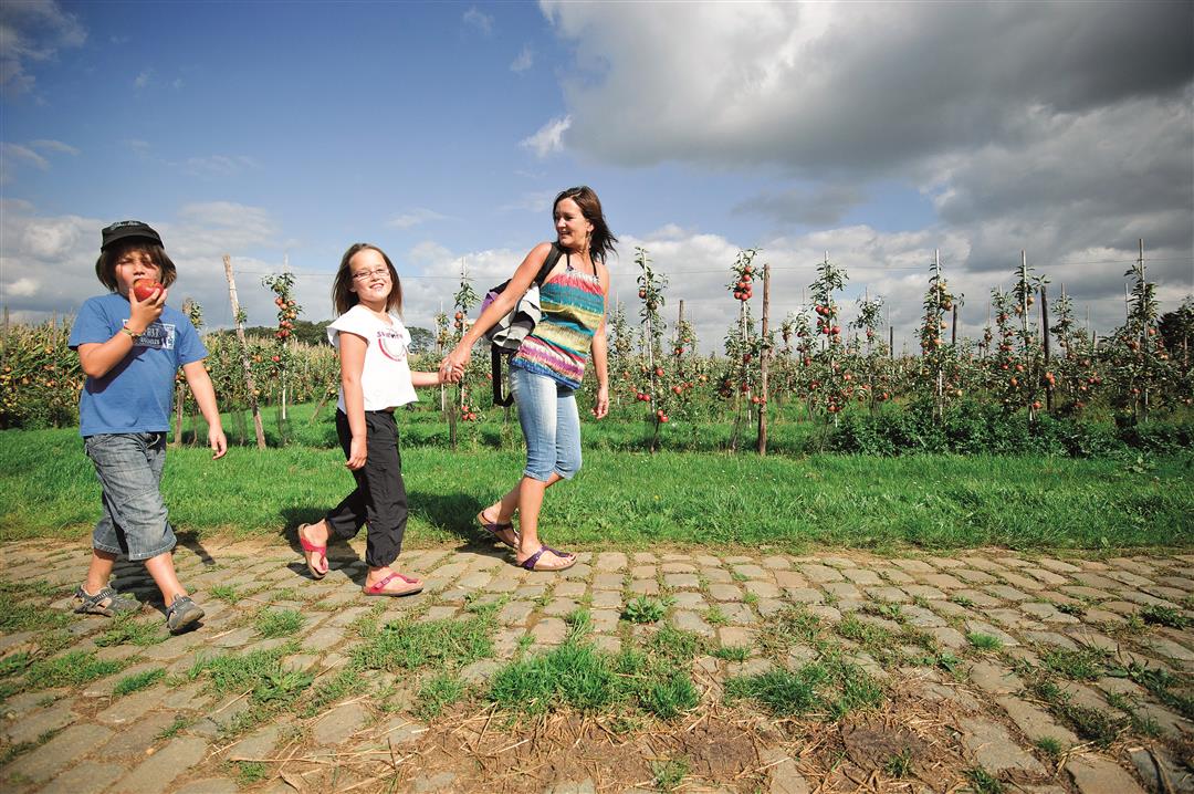
The Wijndries hillside was once planted with grapevines, as were many other hillsides in this Hageland wine region. Today, this part of the rolling landscape is dotted with fruit orchards, and you can enjoy the beautiful views and the silence. From the top of the hill, you can even see the Basilica of Scherpenheuvel. Along the way, visit the Chapel of Saint Anthony of Padua, patron saint of bakers, pilgrims, potters, lovers, and donkeys.
automatic translation
 nodes to follow
0 km
0.3 km
1 km
1.9 km
3.1 km
3.8 km
4.2 km
5.3 km
6.1 km
6.9 km
8 km
8.3 km
8.7 km
Monday, October 21, 2024 by V.S.Sunday, 20.10.2024 Sunny weather, unknown hike, pleasant to explore/hike. Partly paved, but also unpaved, in some places even very muddy by the many rain showers of recent days. But still, beautiful walk, highly recommended, also with children, because of the variety of views. TOP
automatic translation
Wednesday, April 17, 2024 by T.G.There are nicer walks via the nodes, but for those who want to avoid muddy paths in wet periods, this is a nice alternative! Mainly paved paths between open fields, with nice views of wide landscapes. Twice a small distance (between vineyards) that can be muddy, but it was possible to walk around that.
automatic translation
Friday, July 31, 2020 by E.V.Beautiful hike. Absolutely enjoyed it!
automatic translation



 Upgrade to Premium Plus


