 Hiking
 Login
Login
 More
More
 EN
EN
 Premium
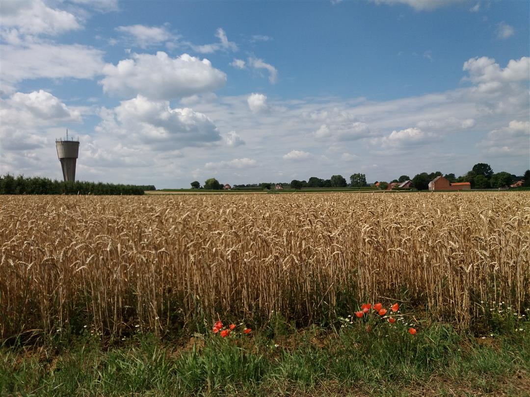
Veertigbundersbergwandeling
7.4 km • Bekkevoort
 official route
3.0104 4 3.9/5
route offered by
 Addresse starting point (approximate)
Gemeentehuis, Eugeen Coolsstraat 17, 3390 Bekkevoort
 signage
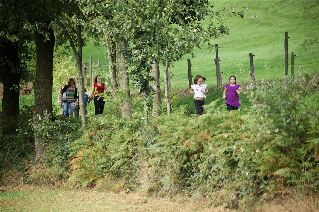
The route is fully signposted with nodes.
 Description
The sunken roads cut deep into the rolling Hageland landscape around Bekkevoort. You won’t soon forget the panoramic views along the way. Highly recommended during the cherry blossom season. Don’t fall into the well at Wijndries—it’s 42 meters deep.
automatic translation
 nodes to follow
0 km
0.1 km
0.5 km
1.1 km
1.2 km
1.9 km
2.9 km
3.1 km
4 km
4.5 km
4.8 km
6.1 km
6.9 km
7.3 km
7.4 km
Saturday, January 7, 2023 by A.J.Beautiful walk. Hollow roads orchards. sure to repeat in blossom time
automatic translation
Sunday, February 20, 2022 by Patrick AertsBeautiful walk
automatic translation
Wednesday, July 15, 2020 by E.V.Fine walk with plenty of variety. Regularly crossed a busy lane. Done together with daughter of 6 years and went perfectly.
automatic translation
Thursday, May 21, 2020 by P.V.beautiful views. Lots of variety
automatic translation


 Upgrade to Premium Plus
