 Hiking
 Login
Login More
More EN
EN Premium
Muggenberg hike
automatic translation
5.2 km • Bekkevoort
 official route
route offered by
 Addresse starting point (approximate)
Parking Halensebaan, Kruispunt Halensebaan/Kerkstraat, 3461 Molenbeek-Wersbeek (Bekkevoort)
 signage
The route is fully signposted with nodes.
 Description
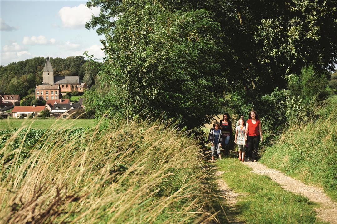
During this hike you get to know agricultural Bekkevoort along fields, meadows and fruit tree plantations. As soon as you leave the Halensebaan, you walk exclusively on unpaved field paths. Enjoy the wide views over the agricultural plots. Here and there you see remarkable landscape elements such as the water tower of Meensel-Kiezegem or satellite dishes of the Belgian army.
This walk is offered by Tourism Flemish Brabant.
automatic translation
 nodes to follow
0 km
0.8 km
1.2 km
1.7 km
1.8 km
2.5 km
4.1 km
4.4 km
5 km
5.2 km
Saturday, September 4, 2021 by Luc WullaertPleasant walk on unpaved trails. Some nice views. Definitely recommended during the blossom season. Walk done in reverse
automatic translation
Tuesday, April 27, 2021 by A.B.Could it be that the nodes of this walk have changed? Started at 318 - followed 320, next nodes 321 - 322 - 323-315-316-317 not found.....jammer!
automatic translation
Thursday, August 20, 2020 by Noël BeelenThis hike is definitely recommended. The gps in the app does deviate from the signposted route in the beginning, because of this we did the hike in reverse. Also between nodes 323 and 315 (reversed direction) the gps takes a different route to neighborhood road 19 Panisveldstraat. But even here it was definitely worth following the gps.
automatic translation
Tuesday, July 14, 2020 by Eef VerschuerenFine walk away from populated streets. Beautiful views over the fields. I did the hike on a rainy, heavily overcast day, so in nice weather I'm sure even better.
I think I would like the hike in reverse even better.
automatic translation
Saturday, May 16, 2020 by Robert De RyckBeautiful walk along the fields and fruit trees. In spring you do have to take in the exported manure also on the hiking trails
automatic translation


 Upgrade to Premium Plus
