 Hiking
 Login
Login
 More
More
 EN
EN
 Premium
Cotthem and Oude Heerweg hiking trail
automatic translation
10.8 km • Sint-Lievens-Houtem
 official route
9.56932 4 4.6/5
 Addresse starting point (approximate)
Marktplein, Sint-Lievens-Houtem
 signage
The route is fully signposted with nodes.
 Description
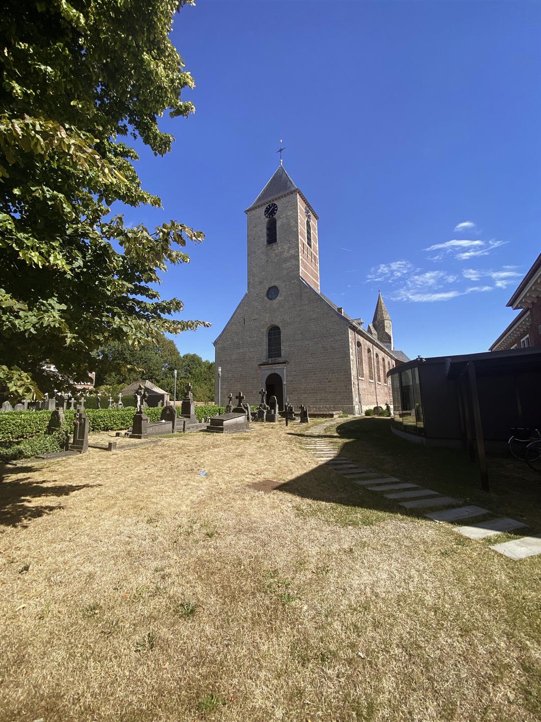
Numerous country and forest roads and well-preserved hollow paths lead you through the valley of the Cotthem brook, the green heart of Sint-Lievens-Houtem. A perfect route for nature walkers looking for peace and quiet!
automatic translation
 nodes to follow
0 km
0.3 km
0.9 km
2.4 km
3.2 km
4.8 km
5.2 km
5.5 km
6.7 km
6.9 km
7.4 km
9.2 km
9.8 km
10.4 km
10.8 km
Sunday, February 15, 2026 by D.D.Very beautiful walking route! But be sure to bring your hiking boots or wellies! There are sections where you have no choice but to walk through the mud!
automatic translation
Tuesday, April 29, 2025 by Guido Verduycktvery beautiful and varied routes in greenery.
automatic translation
Thursday, November 7, 2024 by Luc TinelA beautiful tour through fields and woods with lots of greenery and beautiful views. in the autumn definitely wear high hiking shoes or boots , this especially between nodes 79 and 65 , namely in the Lindelanglos . Also around the node 75 is difficult to walk (this is also the case in summer). I hope that something can be fixed there .
automatic translation
Sunday, August 18, 2024 by Mieke D'haeseVery beautiful route. Occasionally small stretches along the road but that is more than compensated by the beautiful views. Walking shoes are a plus because sometimes some muddy parts.
automatic translation


 Upgrade to Premium Plus
