 Hiking
 Login
Login More
More EN
EN Premium
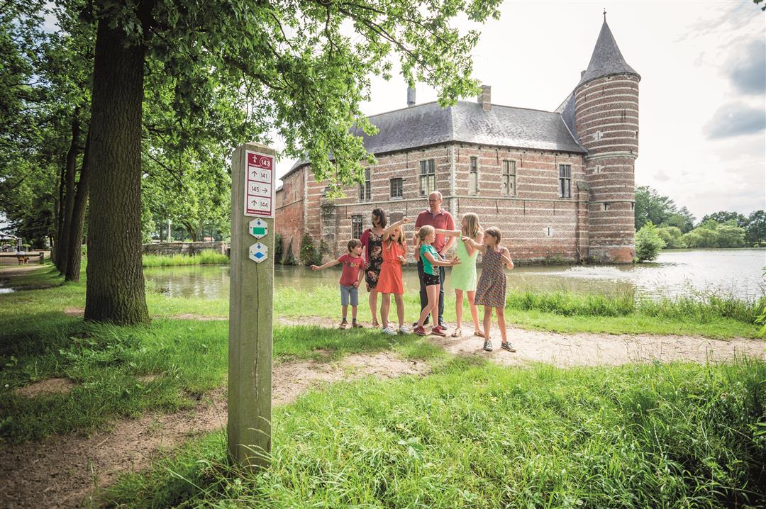
Broekem Walk
automatic translation
10.4 km • Holsbeek
 official route
route offered by
 Addresse starting point (approximate)
Kasteel van Horst, Horststraat 28, 3220 Sint-Pieters-Rode (Holsbeek)
 signage
The route is fully signposted with nodes.
 Description
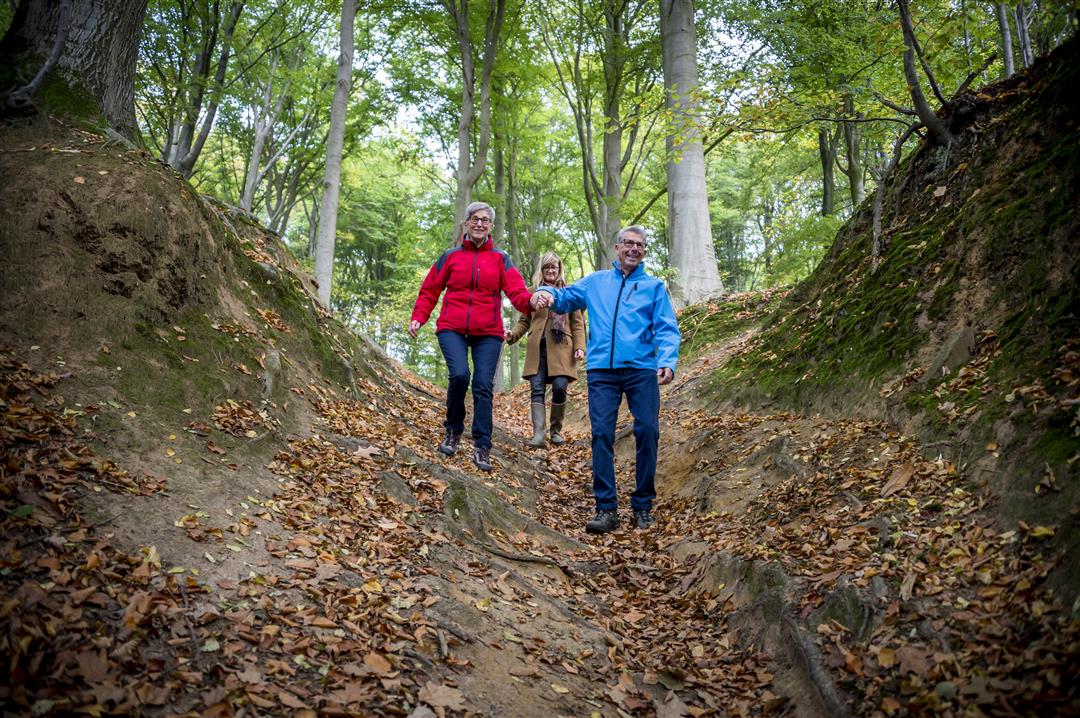
The Broekem walk has everything to captivate every hiker: heritage with the Castle of Horst, a picturesque St. Joseph's Chapel, unpaved and/or hollow roads, vistas, a babbling brook, a water mill, the Troostemberg hiking forest and the Thunenhoeve with its rich history.
This walk is offered by Tourism Flemish Brabant.
automatic translation
 nodes to follow
0 km
0.7 km
1.3 km
2.4 km
3.1 km
3.7 km
4.2 km
4.7 km
6.2 km
7 km
8.2 km
9.1 km
9.9 km
10.2 km
Thursday, August 6, 2020 by D.G.Beautiful route with lots of variation (forest, hollow roads, views). The only downside was that the Gempemolen looked a bit neglected and Horst castle is rather dilapidated. Plus point is that at the Gempemolen you have a terrace where you can picnic.
automatic translation
Saturday, June 13, 2020 by Herman Van den ReeckVirtually no asphalt, but small roads through fields with numerous flowers and cereals and even flax, past a water mill (Gempemolen) and along an old forest (Troostenbergbos), plus the backdrop of Horst Castle. Fantastically beautiful.
automatic translation
Monday, November 25, 2019 by S.V.Wonderful walk , variety and wonder a wonderful walk.
Thanks
Simone
automatic translation


 Upgrade to Premium Plus
