 Hiking
 Login
Login More
More EN
EN Premium
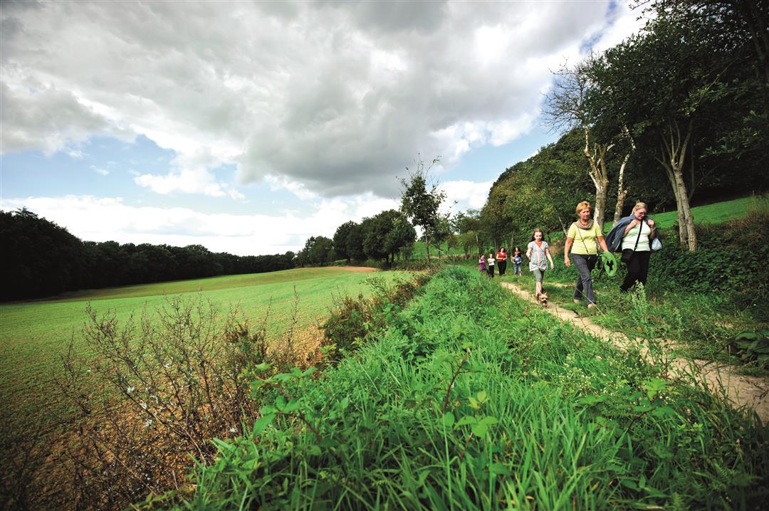
Wissenbeemd Walk
automatic translation
7.4 km • Bekkevoort
 official route
7060 3 4.2/5
route offered by
 Addresse starting point (approximate)
Onze-Lieve-Vrouwekerk, Dorpsstraat, 3460 Assent (Bekkevoort)
 signage
The route is fully signposted with nodes.
 Description
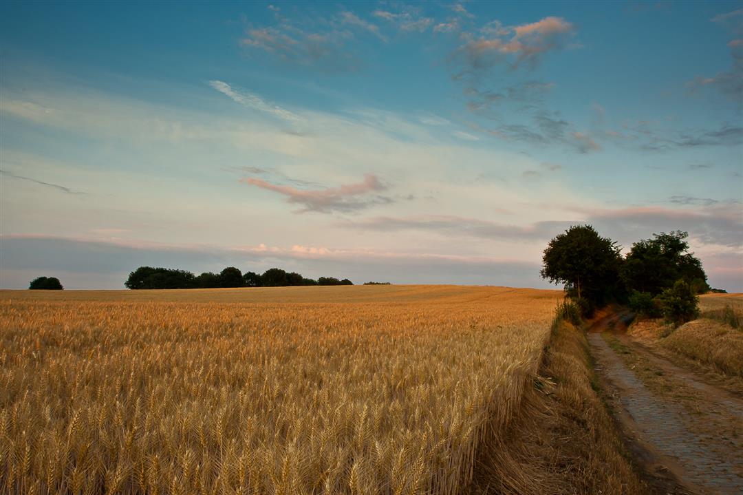
Discover the most beautiful spot of the municipality of Bekkevoort in the Begijnenbeek valley, the Wissembeemd, a hidden spot in full nature where it is wonderfully quiet. Walk further around the almost 80 meters high Hermansheuvel, a hill with a rich history. The top of the hill rises more than 35 meters above the surroundings and the panorama over the green Begijnenbeek valley, which extends to Diest, is magnificent.
This walk is offered by Tourism Flemish Brabant.
automatic translation
 nodes to follow
0 km
0.2 km
0.2 km
0.8 km
1.5 km
2 km
2.6 km
3.5 km
3.9 km
4.3 km
5.3 km
5.8 km
6.3 km
7.2 km
7.4 km
Thursday, August 12, 2021 by Noël BeelenBeautiful walk - lots of nature - lots of unpaved roads - and even though the highway is close by you are not bothered by this. You walk through the Begijnenbeek valley, which is definitely recommended. Also deviate from the hiking path and look for the artwork: The Pioneer (signposted).
automatic translation
Tuesday, August 11, 2020 by Eef VerschuerenNice and quiet walk.
automatic translation
Friday, April 24, 2020 by Chris ClinckxFirm and beautiful hike
automatic translation


 Upgrade to Premium Plus
