 Hiking
 Login
Login More
More EN
EN Premium
Play Mountain Walk
automatic translation
11.7 km • Lubbeek
 official route
route offered by
 Addresse starting point (approximate)
Sint-Kwintenkerk, Martelarenplaats 1, 3210 Linden (Lubbeek)
 signage
The route is fully signposted with nodes.
 Description
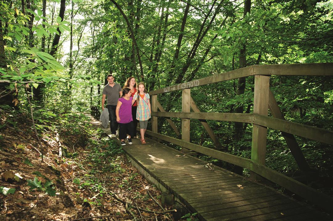
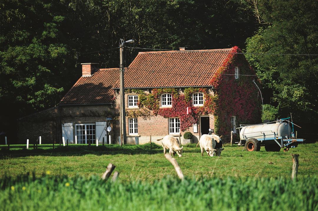
So close to the city of Leuven and yet so surprisingly rural and green! You will discover the wooded Hageland Hills on this hike. You will step through deep hollow roads and discover the whimsical landscape and beautiful views of the Lindenbos, Chartreuzenbos and their surroundings. In the sloping Chartreuzenbos it is sometimes really climbing or descending towards the Wingevallei. Have a bite to eat in the tavern 'Bed van Napoleon', an old forester's house that the owner converted into a cozy restaurant and where, according to tradition, emperor Napoleon Bonaparte once spent the night.
This walk is offered by Tourism Flemish Brabant.
automatic translation
 nodes to follow
0 km
0.3 km
0.8 km
1.3 km
1.5 km
2.7 km
4.9 km
5.2 km
5.7 km
6.2 km
7.5 km
7.8 km
8.2 km
8.6 km
9.2 km
11.9 km
Wednesday, July 28, 2021 by M.D.Very nice walk. You will not encounter "Napoleon's bed" if you follow the marked route.
automatic translation
Saturday, May 1, 2021 by C.D.nice walk especially at the top along the hollow road over the bridges,for us it was dry if it had to be wet a little trickier . nice up and down good parking at the church. definitely coming back again
automatic translation
Thursday, December 24, 2020 by A.S.Very nice walk through forest and field. Only now you really need to have good footwear on. In some places it is a mud puddle and you have to be very careful not to go under when going downhill. There were also many mountain bikers along the way.
automatic translation
Monday, December 21, 2020 by bert rouckhoutthis hike is an absolute must she has everything a hike should have forest slopes beautiful views we enjoyed and will definitely come back again
automatic translation
Sunday, June 28, 2020 by M.D.The footpath from the water tower does run along footpath 32, the stretch you indicate is a private road.
Approved by the municipality.
automatic translation
Tuesday, May 12, 2020 by Jan WaegemansWonderful hike, very varied with many sections through the forest and beautiful views of the Hageland hills.
automatic translation


 Upgrade to Premium Plus
