 Hiking
 Login
Login More
More EN
EN Premium
Chartreuse mountain hike
automatic translation
6.9 km • Holsbeek
 official route
route offered by
 Addresse starting point (approximate)
Sint-Mauruskerk, Gebr. Van Tiltstraat 1, 3220 Holsbeek
 signage
The route is fully signposted with nodes.
 Description
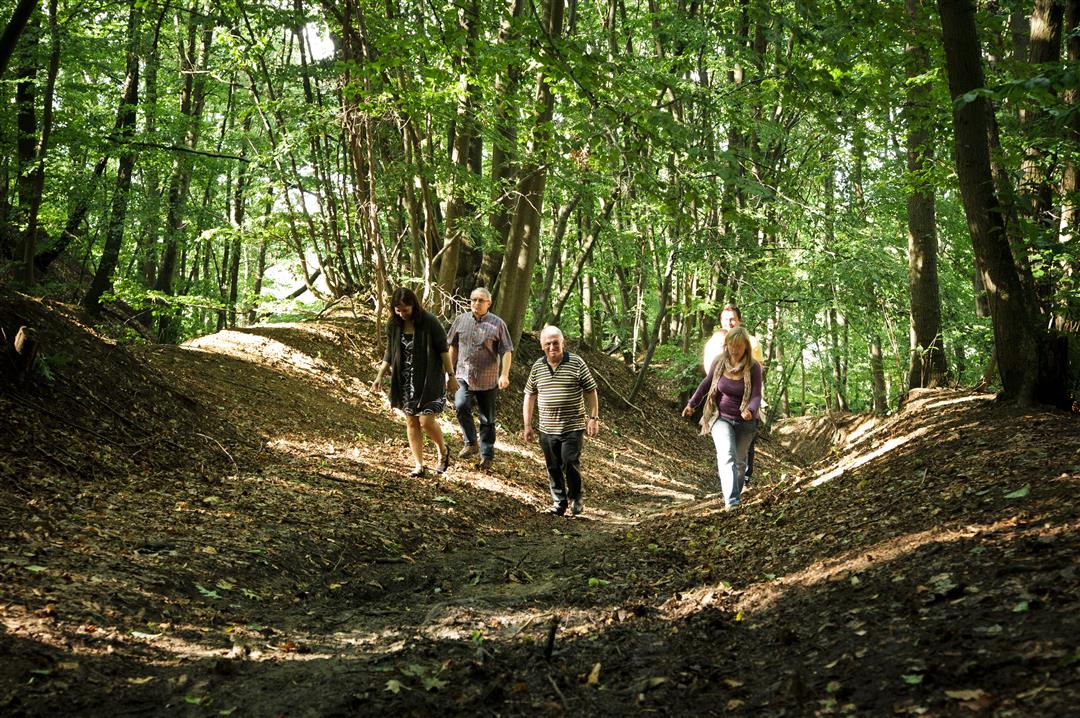
The Chartreuzen Mountain Hike leads you along the slopes and over the plateau of Chartreuzen Mountain. You hike mostly in the forest and through some beautiful hollow roads. Allow for quite a bit of climbing. In the Chartreuzenbos you will find a nice little play forest with a theater semicircle, a nice picnic spot.
This hike is offered by Tourism Flemish Brabant.
automatic translation
 nodes to follow
0 km
1.5 km
3 km
3.3 km
3.7 km
4.3 km
4.6 km
4.9 km
6.7 km
6.7 km
6.9 km
Tuesday, May 2, 2023 by J.B.Beautiful hike with lots of variety and nice rest points. However, halfway between points 17 and 11 there is a muddy strip ( +/- 50 meters) in which you sink above your ankles. During wetter periods a pair of boots and extra shoes is recommended, otherwise you'd better avoid this stretch (17-11).
automatic translation
Sunday, September 19, 2021 by M.M.Nice hike! Beautiful views interspersed with forest trails. Hugely crowded because we did this one in the middle of lockdown at corona time. We will definitely do this one again at a hopefully quieter time.
automatic translation
Monday, May 25, 2020 by Sandy SeghersHike done with 2 little practiced hikers of 4 and 6 years old.
They found the forest a bit "scary" in the beginning, we also had fairly cloudy weather and then it is a fairly dark forest, at least for our little walkers.
For the rest it was a beautiful walk, through the forest and along beautiful fields. Occasionally a tough climb, but the kids love that! Topper!
automatic translation
Sunday, April 21, 2019 by M.N.Pleasant walk.
First through flat fields and then into the forest. Lovely up and down. The route is not too difficult. As inexperienced hikers it took us three hours with lunch break included ;-) At regular intervals there are nice benches to enjoy the birds in the forest.
The junctions are clear everywhere except the very last one to get to junction 1. There we had to turn left to the church and the sign was not sufficiently visible.
automatic translation


 Upgrade to Premium Plus
